Strong storms headed to Asheville area after soggy April 9: What to know
ASHEVILLE – The National Weather Service office has issued a Hazardous Weather Outlook as a complex frontal storm system moves toward Western North Carolina. Here's what Asheville residents should know.
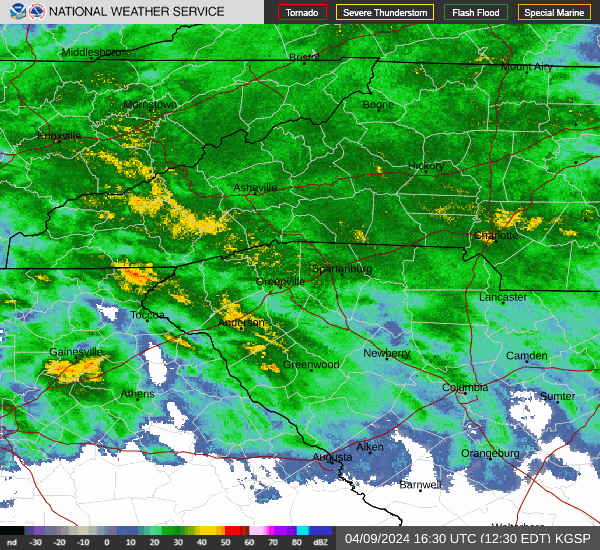
The alert is for northeast Georgia, the N.C. Piedmont, WNC and Upstate South Carolina. Widespread showers and scattered thunderstorms are expected, with potential for isolated heavy rainfall and severe thunderstorms.
The NWS has advised concerned WNC residents to keep track of their local forecasts for updates on any developments or further weather alerts.
A look at today's weather
It's a damp day in Asheville, but thunderstorms aren't expected today or tonight. Today's current predicted high temperature is around 63 degrees, with a 90% chance of rain throughout the day and south winds of 6 to 8 mph becoming west in the afternoon. Precipitation is predicted at between a tenth and quarter of an inch.
Chances of showers lower to 40% tonight, with a low around 54 degrees and southeast winds of 6 to 9 mph. Less than a tenth of an inch of precipitation is expected overnight.
Storms begin Wednesday night
NWS Meteorologist Steve Wilkinson said that during the day, Wednesday weather will likely be a slight improvement over Tuesday's showers with only a 30% chance of precipitation largely after 2 p.m.
"We can't rule out a shower tomorrow, but it's not going to be real wet," Wilkinson said.
He added that, while the daytime weather is expected to remain mild, the storm system mentioned in the Hazardous Weather Outlook is expected to roll in Wednesday night.
"It's really tomorrow night into Thursday that the heaviest rain will come," Wilkinson said.
Wednesday's high will be around 69 degrees. Asheville residents can expect south southeast winds of 7 to 11 mph, with gusts as high as 18 mph.
What to know about heavy wind, rainfall through Friday
Wilkinson said that Buncombe County is expected to see rain in the inch to inch and a half range between Wednesday night and Thursday. The exception to these measurements was the far eastern area of the county which Wilkinson said was "typically a wetter spot." Black Mountain and other areas in east Buncombe could see up to 2 1/2 inches.
"There are some other areas in the mountains a little further south toward Brevard and some of that area that are going to get quite a bit heavier rain, but that's basically the idea," Wilkinson said.
Wilkinson said Asheville residents shouldn't be too worried about heavy winds or flooding risks during the storm. For now, the biggest concern for the Buncombe area is potential higher wind speeds after the storms are over.
"Particularly on Friday, the winds may very well be 20, 25 mile per hour sustained with higher gusts," Wilkinson said.
He estimated that the gusts could be around 35 mph. Wilkinson also predicted that flooding is unlikely in Asheville, but areas near Brevard could see some minor flooding to rivers and streams.
The April 9 Hazardous Weather Outlook forecast that while more severe thunderstorms are possible on Thursday, they are expected to remain mostly south of the I-85 corridor.
Current temperature predictions for Thursday in Asheville show a high of 67 degrees during the day and drop to a low of 46 degrees overnight.
Keep an eye on Asheville's NWS 7-day forecast page for any updates on potential weather hazards.
This article originally appeared on Asheville Citizen Times: Strong storms headed to Buncombe? What we know about Hazardous Weather