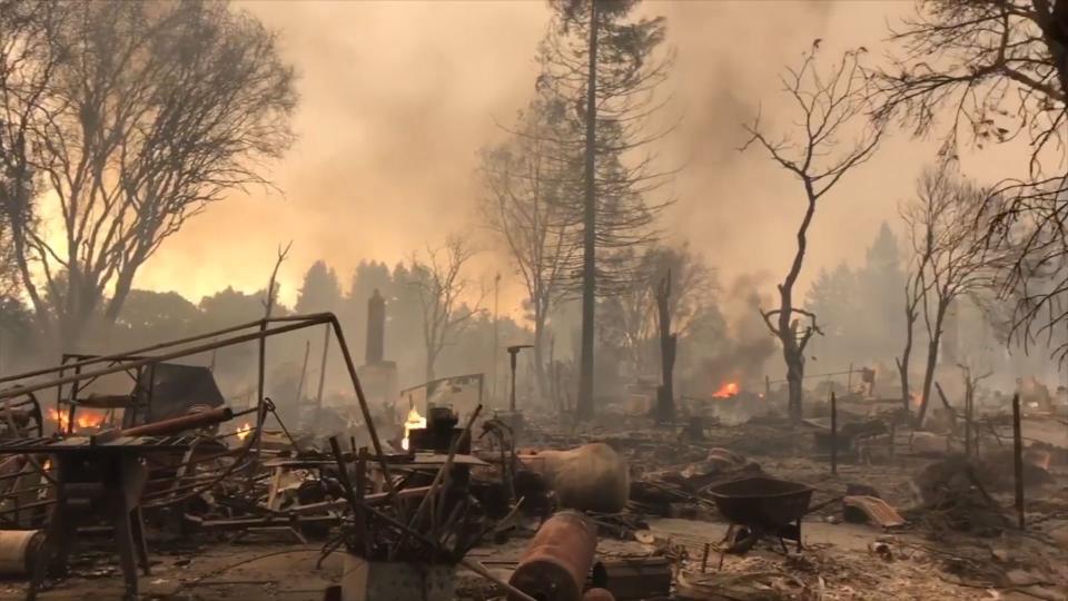
Striking aerial photos show severity of California wildfires

Los Angeles Mayor Eric Garcetti declared a state of emergency in the city Tuesday as several wildfires continued to rage across the region.
Blazes in Santa Clarita, Santa Ana and Ventura County claimed tens of thousands of acres between them and filled the southern Californian skies with smoke — so much smoke in fact, they left trails visible from space.
SEE ALSO: Surreal scenes of devastation across Southern California from unrelenting wildfires
NASA's striking satellite image, above, gives a good feel for the scope of the smoke, as did pictures posted by meteorologists on Twitter Tuesday.
Incredible amount of smoke being picked up on satellite right now from the wildfires in Southern California. #ThomasFire #RyeFire #CreekFire pic.twitter.com/vEH3vkm7IJ
— Drew Tuma (@DrewTumaABC7) December 5, 2017
Continuing to monitor the #fires in SoCal, Suomi NPP satellite captured the power outages last night in #SantaBarbara and #Oxnard. @VCFD #ThomasFire More imagery: https://t.co/eRJpPpx698 pic.twitter.com/CFogVw2JAG
— NOAA Satellites (@NOAASatellites) December 5, 2017
The skies won't be clearing any time soon, either. The National Weather Service is warning of continued gusty, dry Santa Ana winds through Friday, which could help fuel more flames. One meteorologist on Twitter described the situation as a "wildfire siege."
Unofficial burn map of current #Thomasfire #Creekfire and #Ryefire. Weaker but still gusty #SantaAnawinds expected Wednesday before stronger winds return later Wednesday evening into Thursday. #CAwx #LAWeather #LAwind pic.twitter.com/qmuyeXASIh
— NWS Los Angeles (@NWSLosAngeles) December 5, 2017
Thick smoke is seen streaming from several fires, including the #CreekFire, in southern California in this @NASAEarth satellite view from this afternoon. Take a look: https://t.co/xXJl4Vx6mr pic.twitter.com/uz3dlB4FQv
— NASA (@NASA) December 5, 2017
That’s our NWS Incident Meteorologist painting the weather picture for the next 36-48 hrs. Winds increase again Wed night-Thu. #ThomasFire #CAwx pic.twitter.com/HnNa6f0KTh
— Eric Boldt (@wxreport) December 6, 2017
The Thomas Fire in Ventura alone has burned at least 50,000 acres and forced over 27,000 people to evacuate. About 150,000 were affected by evacuation orders of some kind in Los Angeles, according to CNN. The Creek Fire was burning in the hills just to the north downtown LA.
These fires come at the tail end of what is the worst wildfire season in California history, after fires destroyed thousands of homes and businesses and killed more than 40 people in northern California in October.
Science editor Andrew Freedman contributed reporting.
WATCH: California wildfire victims returning to their destroyed homes is absolutely heart-wrenching


