Storms with large hail and tornadoes roll through U.S. central states
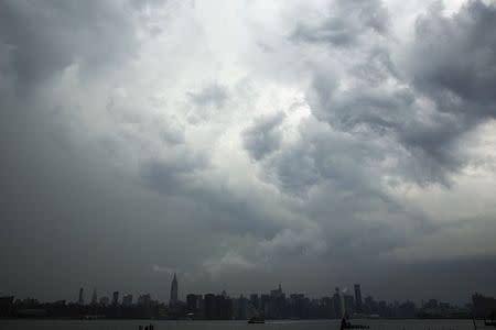


By Mary Wisniewski CHICAGO (Reuters) - Severe storms pounded parts of the central United States on Tuesday producing baseball-sized hail, unconfirmed reports of several tornado touchdowns and a line of intense, dangerous winds known as a derecho, weather forecasters said. Strong winds and baseball-sized hail caused widespread damage north of Omaha, Nebraska, Washington County officials said. The severe weather halted flights at Omaha's Eppley Airfield for hours, which reported hail and strong wind gusts, and heavy rain caused flash flooding that closed area streets. Storm chasers reported at least eight unconfirmed tornado touch-downs in Nebraska, one in Iowa and another in Wyoming, the National Weather Service said. Hail, ranging from golf ball to tennis ball size, also pelted parts of Wyoming, the northern half of Nebraska and the southwestern corners of South Dakota and Iowa, the National Weather Service said. Voting in Iowa's primary election was suspended late on Tuesday afternoon in Pottawattamie County and Montgomery County as poll workers, along with voters, sought shelter. Winds reported at up to 90 mph (145 kph) tore roofs off two motels in Missouri Valley, Iowa. A derecho - a long-lived, wide line of thunderstorms that produces damaging winds - threatened the region on Tuesday night and is expected to move east into Wednesday morning, said AccuWeather.com senior meteorologist Alex Sosnowski. "These storms can knock down trees, cause power outages and travel mayhem for the Wednesday morning commute," he said. National Storm Prediction Center forecaster Bill Bunting in Norman, Oklahoma, said the strongest storms on Tuesday could produce tornadoes, with the possibility of a tornado rated EF-2 or higher and winds peaking at 135 mph (217 kph) or more. A tornado watch was in effect on Tuesday night for much of Nebraska, southwest Iowa and northwest Missouri, and central Iowa was under a flash flood warning, the weather service said. On Wednesday, the storms were expected to move into eastern Missouri, central Illinois, Indiana, Kentucky, southern Ohio, parts of Tennessee and West Virginia, forecasters said. AccuWeather.com said the storms could bring 2 to 4 inches (5-10 cm) of rain, with flash flooding possible in some areas. (Reporting by Mary Wisniewski in Chicago, Katie Knapp Schubert in Omaha and Kay Henderson in Des Moines; Editing by Doina Chiacu, Jim Loney and Sandra Maler)
