Snow returning to Greater Akron on Saturday, with temperatures back in the 60s next week
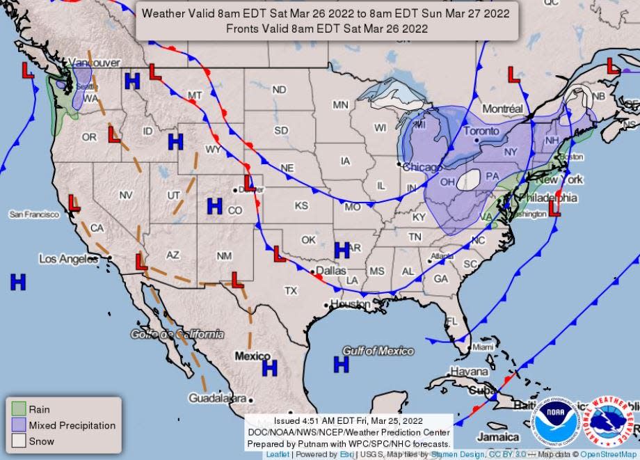
Rain and light snow showers, with accumulation of less than an inch, are likely Saturday before 11 a.m., when temperatures will start heading up to around 40 and precipitation will turn to rain.
Cool, sunny days are expected at the start of next week, with temperatures back in the 60s by Wednesday.
Snow, then rain is likely before 11 a.m. Saturday, as temperatures rise from around freezing to around 40 with an 80% chance of precipitation.
On Saturday night, rain, then snow showers are likely as temperatures drop to a low of around 23. The chance of precipitation remains around 80%, with less than an inch of additional snow accumulation possible overnight.
Sunday is expected to be cloudy with a high around freezing and a slight chance of snow showers before 2 p.m. The overnight low Sunday is expected to drop to around 19 as skies gradually clear.
Monday and Tuesday are expected to be mostly sunny, with a high near 32 on Monday, increasing to around 44 on Tuesday.
A new storm front is expected Tuesday night, with chances of rain and snow around 60%.
However, temperatures are expected to be back in the 60s on Wednesday and Thursday, with a 50-60% chance of rain expected over the two days.
This article originally appeared on Akron Beacon Journal: Snow returning to greater Akron Saturday, temps in the 60s by midweek

