Sky high stunners: Awe-inspiring aerial images used in BBC's 'Earth From Space'

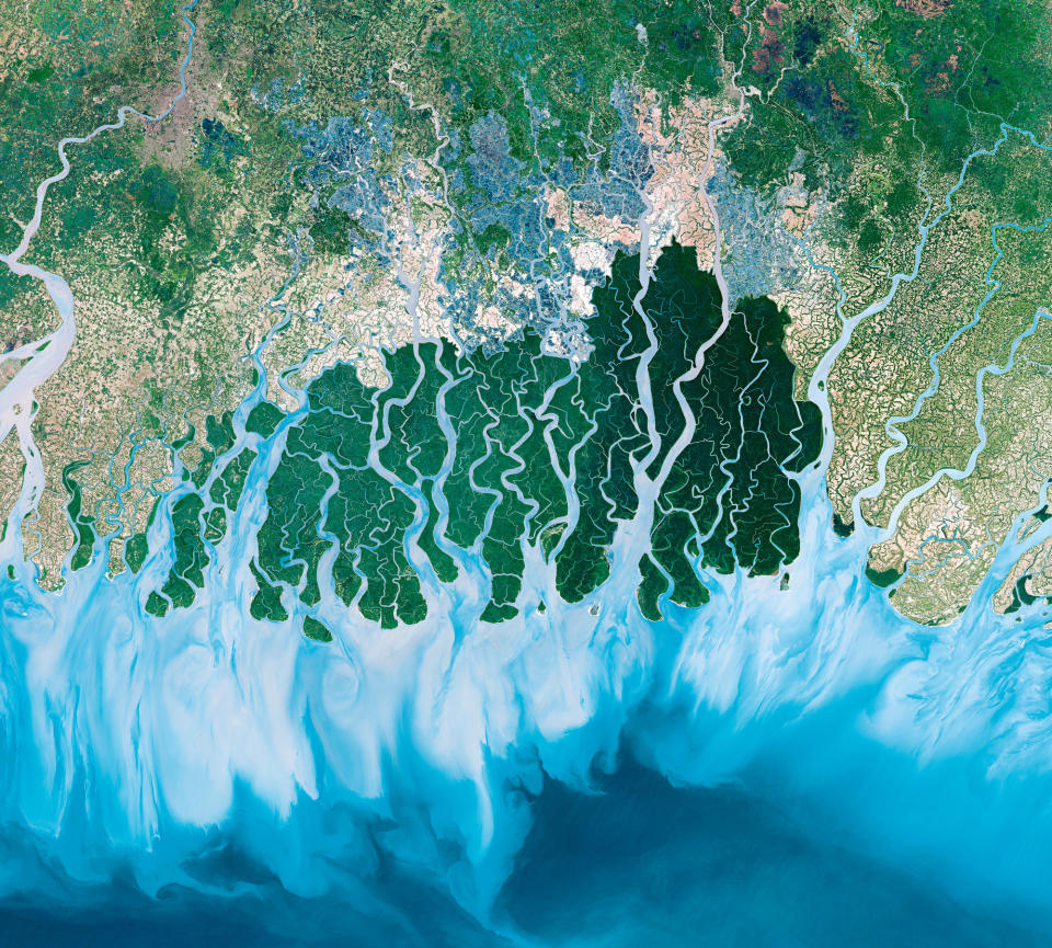
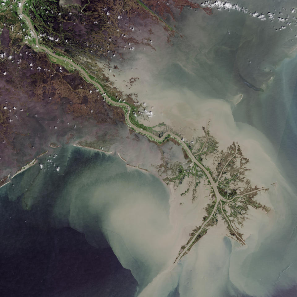
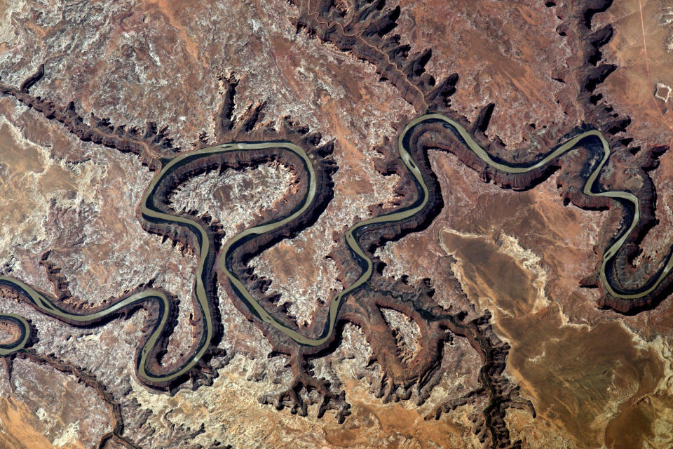
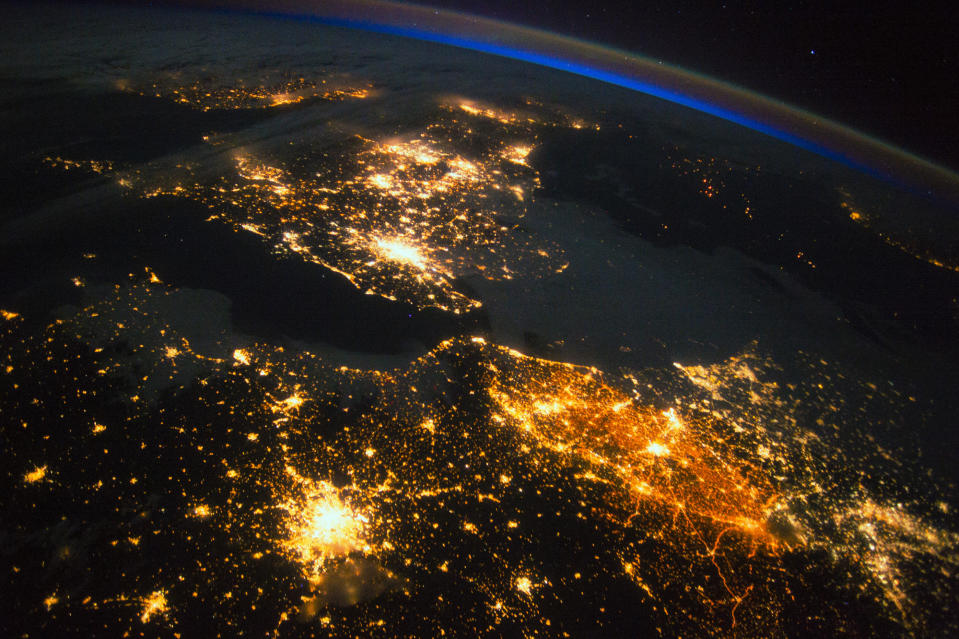

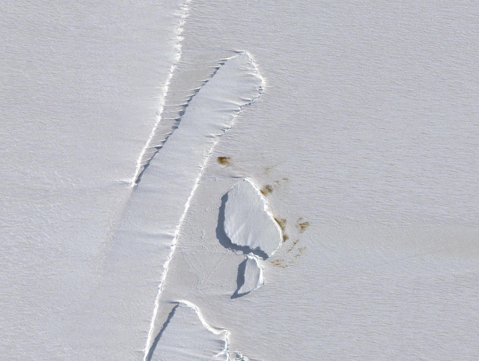
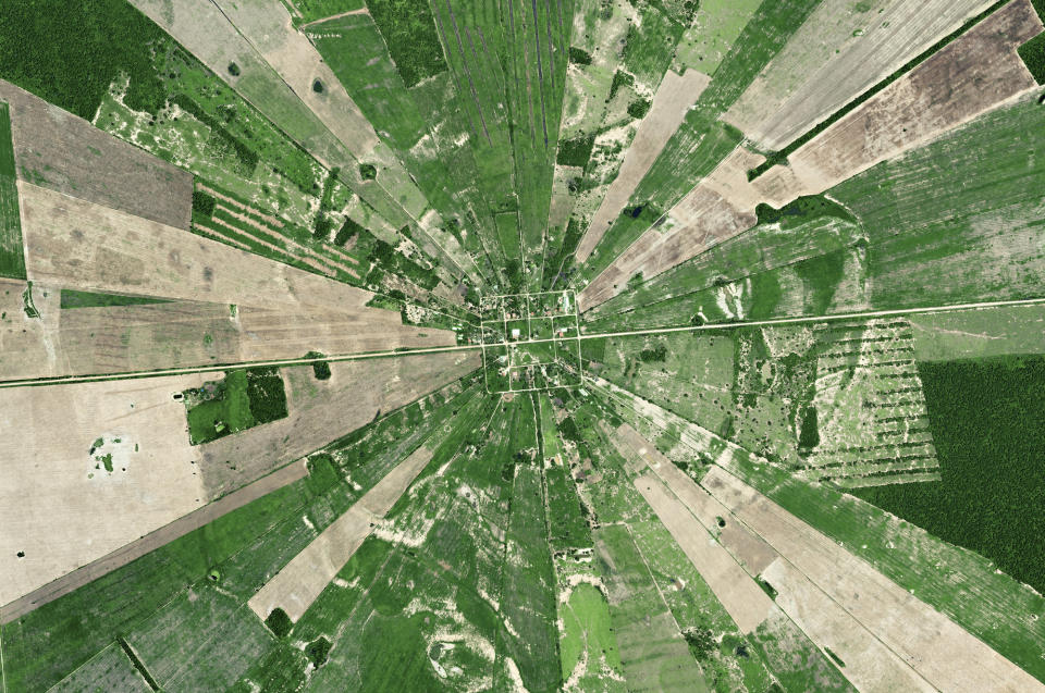

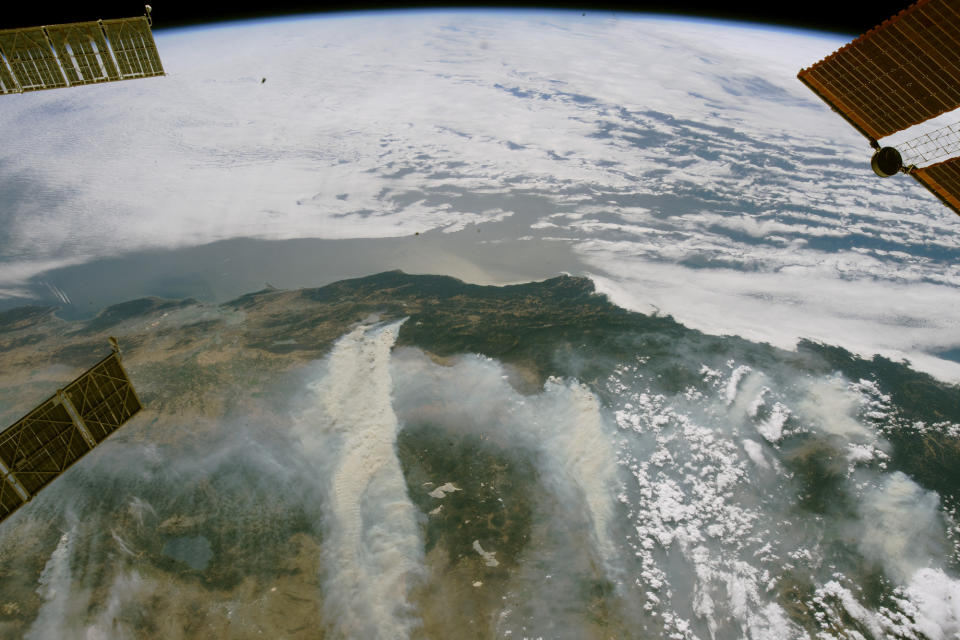


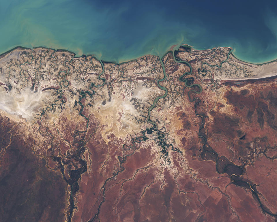

From hypnotic deltas to the captivating bright lights of big cities, these are just some of the amazing aerial pictures viewers will be treated to in a new BBC documentary.
Producers teamed up with more than 20 different satellites operated by national space agencies and private companies for ‘Earth From Space’.
The series includes images down to a 30cm resolution, the highest level of detail commercially available from satellite to date.
The series’ executive producer Jo Shinner said: “Our mantra from the get-go was, what can satellite imaging add to the natural history genre that feels fresh, revelatory and from a new perspective?
“We learnt so many things: that satellite cameras have revolutionised how scientists can monitor the natural world; how new populations of species such as penguins have been discovered; how we can follow migrating animals; how experts can monitor the health of coral reefs from the patterns of sand around them.
“In addition there is no doubt that images from space are simply awe-inspiring. Beautiful. Epic.”
Click through our gallery to see all the stunning images from the four-part documentary.
Earth From Space starts on April 17, 9pm on BBC One.
