The skiing and boarding is fabulous. But avalanches are being reported near Mount Baker
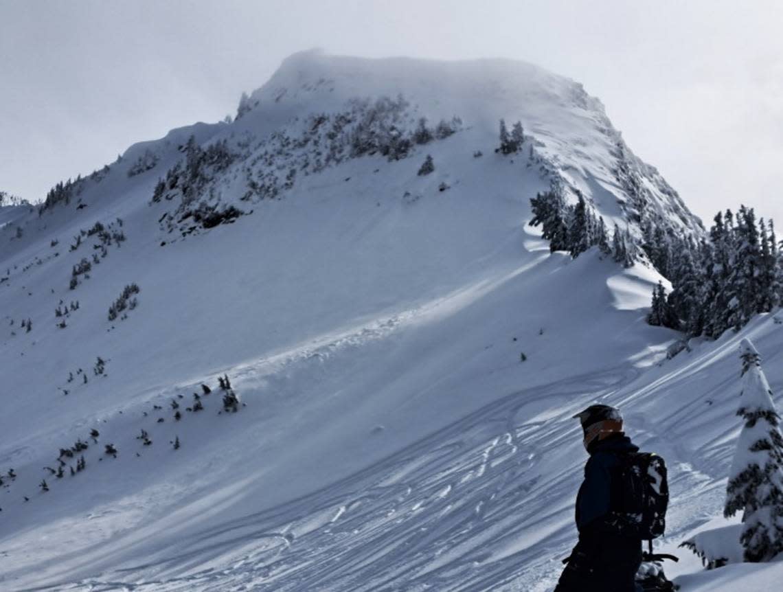
Backcountry observers reported several avalanches in the Mount Baker region, including an apparent incident at the Mt. Baker Ski Area, as a relentless winter storm dumped more than six feet of snow over four days and fierce winds howled across the North Cascades.
Winds of 25 mph or more subsided Thursday and light snow was falling at the Mt. Baker Ski Area, with 31 inches of snow in the past 24 hours and abundant fresh powder, according to the ski area’s website.
Ski area CEO Gwyn Howat told The Bellingham Herald that the White Salmon parking lot had filled by midmorning Thursday and another lot was being used to accommodate the crowds of skiers and snowboarders.
“We’re happy and grateful to see the weather and March coming in like a lion. (But) there are many different types of snow hazards when you have such a rapid accumulation of snow,” Howat said in a phone call from the mountain.
A little over a week ago, the season was looking bleak with little snow after recent warmer weather and a prolonged dry spell. “Snow-water equivalent” of the snowpack in the North Puget Sound region was at 61% of normal, according to a Thursday report from the Natural Resources Conservation Service.
Howat cautioned skiers and snowboarders to keep their partner in sight and to be wary of tree wells, where low-hanging branches keep snow from filling and compacting around the base of a tree. It’s possible to fall into those pockets of snow, become trapped and suffocate.
“It’s like being in big surf, rather than a swimming pool,” she said.
Ski area staff regularly perform avalanche controls, but there was an apparent incident without injuries Wednesday, Howat said.
“It was a group of people to the side of a run and something slid. They never reported it directly to us,” she said.
The danger was so high Wednesday that those using Chair 6, the expert run atop Panorama Dome, were required to have a partner and carry an avalanche transceiver, shovel, and probe, Howat said.
“Everybody’s pretty hungry for powder these days. (But) everybody should have a new awareness and really keep an eye on (snow conditions) into the weekend,” she said.
A rare avalanche warning issued Wednesday was reduced to high avalanche danger on Thursday for the west slopes of the North Cascades, the North Cascades Avalanche said on its website.
Still, several snow-sports enthusiasts reported significant concerns, including Megan Guinn of the Northwest Avalanche Center, whose party was skiing and snowboarding Wednesday near Heather Meadows.
“Heavy snowfall and strong winds were our two main red flags for the day. Travel was difficult with winds gusting, transporting snow and decreased visibility,” Guinn said in a report at NWAC’s website.
“We did not notice any avalanches or active avalanching throughout the day but were not convinced it wasn’t happening elsewhere. The upside-down snowpack structure really stuck out to us and further hinted that the snow was unstable. We stuck to low-angle terrain, staying aware of steep slopes above and around us and only considering traveling in areas free from avalanche terrain,” she said.
Other backcountry travelers have reported avalanches, cracking and collapsing of snow around Heather Meadows, Heliotrope Ridge, Yellow Aster Butte, Excelsior, and other locations, according to online observations from the past week.

