Severe weather possible as two rounds of thunderstorms sweep through Kansas City area
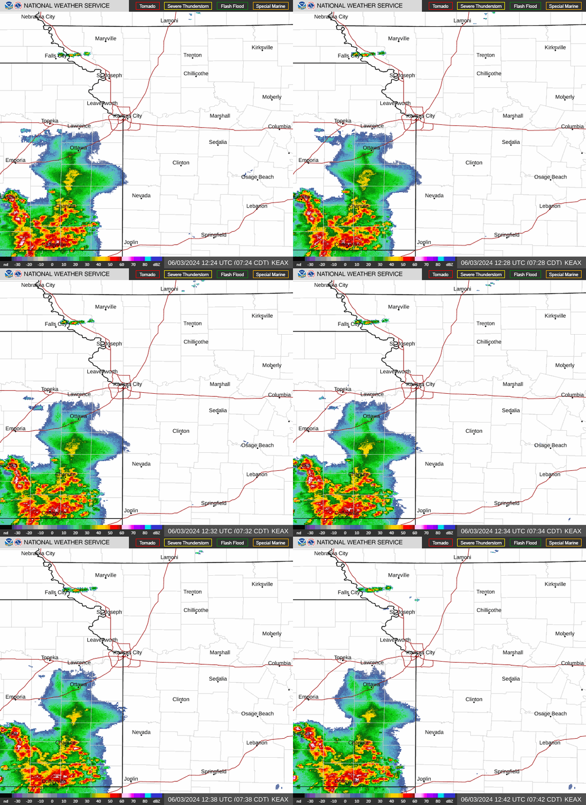
Two rounds of powerful thunderstorms are expected to push through the Kansas City area Tuesday, with the first round coming just as drivers hit the road for their morning commutes and errands, according to the National Weather Service.
Gusty winds preceded a line of showers and thunderstorms as they moved through the area early. Wind gusts of 35 to 45 mph will continue through the afternoon.
“Please secure any loose objects,” the weather service said.

The first round of storms was expected to move into the area around sunrise, bringing the threat of heavy downpours, hail up to the size of quarters, and wind gusts up to 60 mph. Scattered storms are expected across most of the area and move from the west to the east.
The stronger storms were passing west of the Kansas City metro in Douglas County, where the National Weather Service had issued tornado warnings for areas between Topeka and Lawrence.
The first storm round is expected to be through the Kansas City area by noon.
The Kansas City area and other parts of Kansas and Missouri are under a wind advisory until 7 p.m. Sustained winds of 20 to 30 mph with gusts of 45 mph are expected.
“Gusty winds could blow around unsecured objects,” the weather service said. “Tree limbs could be blown down and a few power outages may result.”
Drivers should exercise caution when driving, especially in a high-profile vehicle. People should also secure outdoor objects, including grills and patio furniture.
The second round possibly stronger
According to the weather service, a second round of strong to severe thunderstorms is expected in the afternoon, but the storms’ power and track are uncertain.
“Consensus points toward most of the activity remaining northern of I-70 mainly concentrated along the US-36 corridor,” the weather service said in its forecast discussion. “There is fairly high confidence that this second round of storms will be in this general vicinity.”
In addition, the strength of the afternoon storms will depend on the environment’s ability to recharge between rounds. More sun than clouds will mean stronger storms.
The timing of the storms is between 2 and 6 p.m., with the primary concern being north of Interstate 70 and east of Interstate 35. The areas that face the greatest threat of severe weather are east and north of the immediate Kansas City metro in northeast and north central Missouri.
The strongest thunderstorms, which redevelop in the afternoon, can produce large hail up to the size of golf balls, wind gusts of 65 mph and tornadoes.
The weather service said supercells — large thunderstorms with deep and persistent rotating updrafts that look like tall storm clouds with anvils or elongated clouds at the top — are possible and could produce all types of severe weather.
Weather watches and warnings
A live data feed from the National Weather Service containing official weather warnings, watches, and advisory statements. Tap warning areas for more details. Sources: NOAA, National Weather Service, NOAA GeoPlatform and Esri.
