Severe thunderstorm warning for northeast PBC now in effect
The National Weather Service has issued a severe thunderstorm warning for northeastern Palm Beach County through 4 p.m.
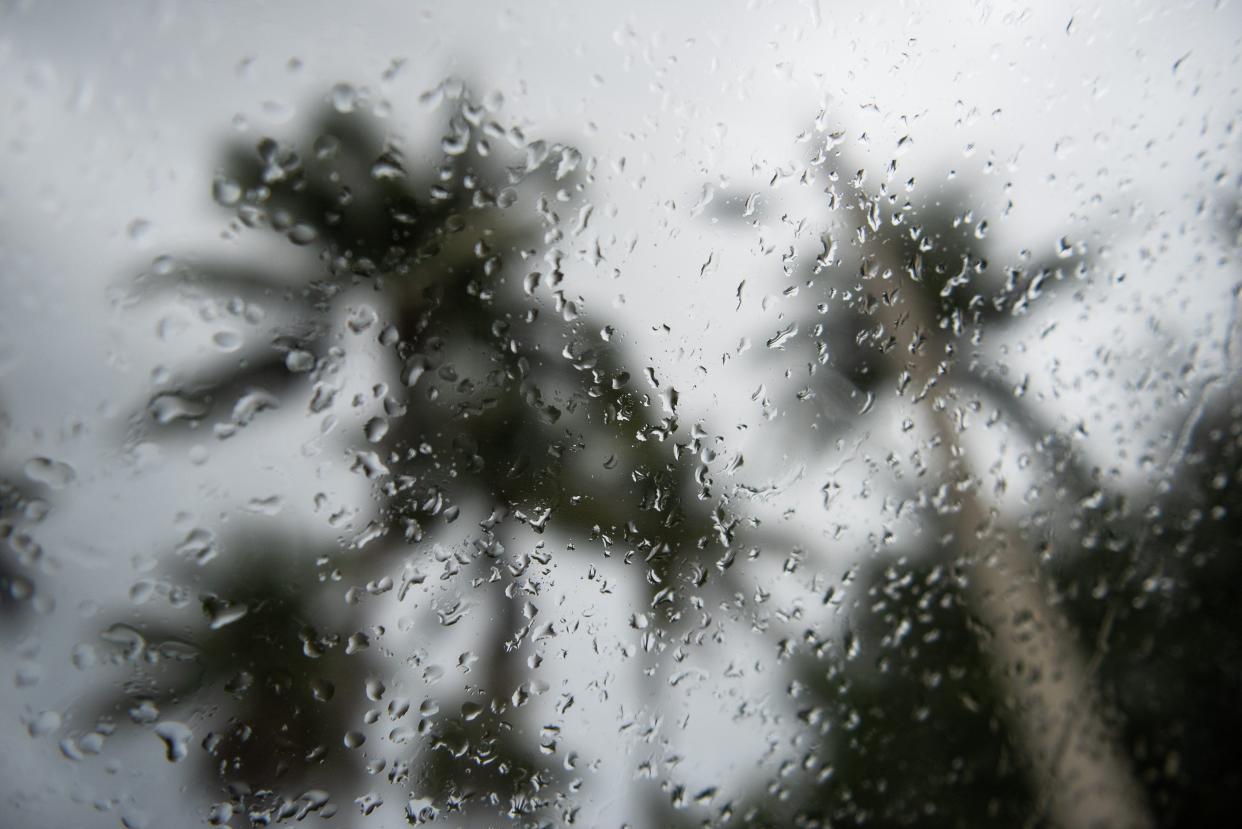
A sever thunderstorm was located 8 miles of northwest of The Acreage at 3:35 p.m., and was moving northeast at 20 mph. The storm contained penny-sized hail and 60-mph wind gusts, the Weather Service said.
Officials warned residents in that part of the county to expect damage to roofs, siding and trees. They also advised residents to be on the alert for a possible tornado.
Affected municipalities and sites include: West Palm Beach, Jupiter, Palm Beach Gardens, Tequesta, Juno Beach, North County Airport, Juno Ridge, The Acreage, FAU North Campus, Philo Farms, Limestone Creek, Caloosa, and Jupiter Farms.
A severe thunderstorm watch for Palm Beach County continues through 7 p.m. today.
The watch, which also is in effect for Broward and Miami-Dade counties, indicates that the NWS believes strong to severe storms are possible this afternoon. The risk is slight for eastern portions of the three counties, and marginal for the rest of Southeast Florida, the Weather Service said.
Large hail and damaging wind gusts are the chief concern, but “a tornado or two can’t be ruled out,” the NWS said in a news release this afternoon.
A heat advisory is in effect for Broward and Miami-Dade counties, with peak heat indices of 110 to 115 degrees. By Monday, temperatures will slightly decrease, easing concerns about the heat, the NWS said.
This article originally appeared on Palm Beach Post: NWS issues severe thunderstorm watch for PB County

