Satellite imagery shows breadth of deadly Barnsdall, Oklahoma tornado destruction
BARNSDALL, Okla. – The killer tornado that pounded Barnsdall, Oklahoma on May 5 delivered so much damage, it could be seen via satellite.
The first EF-4 tornado to ravage Oklahoma since 2016, carved a 27-mile path across the state. It tore out trees, homes, and businesses and snapped metal power poles in two. Winds between 165 and 170 mph scarred the earth, leaving just pieces behind what used to be thriving towns. At one point, the devastation stretched almost a mile wide.
The sheer scope of ruin was captured by a Maxar Technologies' satellite, which they had focused on Barnsdall.
TOWNS REELING ACROSS CENTRAL US AFTER ANOTHER ROUND OF DEADLY SEVERE WEATHER DECIMATES TOWNS
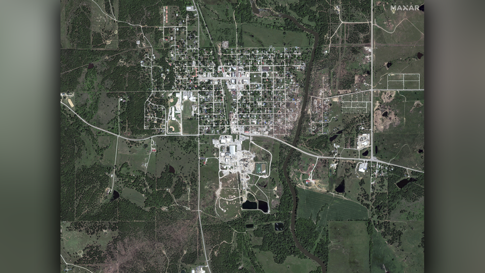
The first image above shows an overview of the town. This was taken about a week after the twister, so much of the debris was removed. The bare dirt path from lower left to upper right, shows how the storm tracked over the southeast portion of Barnsdall.
Intact blocks of neighborhoods with homes and trees to the left, sit in stark contrast to the empty plots, bounded by streets. Compare the damage with before and after images:
WATCH AS GUESTS RUN FOR COVER WHILE TORNADO STRIKES OKLAHOMA HAMPTON INN
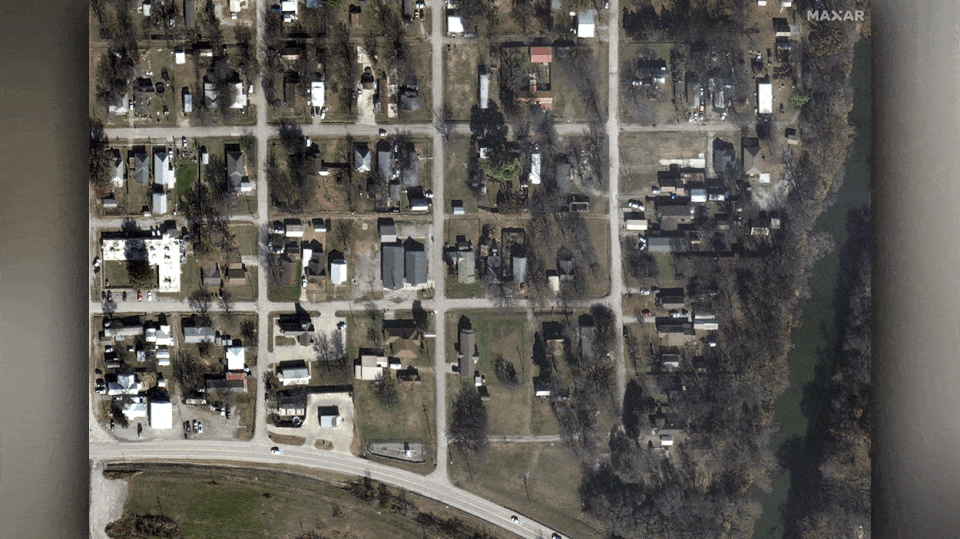
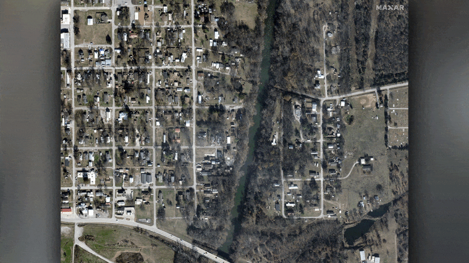
Even blocks that appear intact in the "after" images show how the massive tornado took out buildings when compared to the "before" images. The tree-lined creek is now barren. And, blue tarps covering roofs are the telltale sign of damage.
You can see more blue tarps stretching west while taking a look at a wider view of the area.
Officials claim that 70 homes in Barnsdall, a town of only 1,000 residents, were destroyed or damaged, according to local media. One of those homes belonged to an 81-year-old man who had been reported missing after the tornado. But on Tuesday, officials confirmed that he was among the two people killed in the tornado. Another collapsed home took the life of a woman.
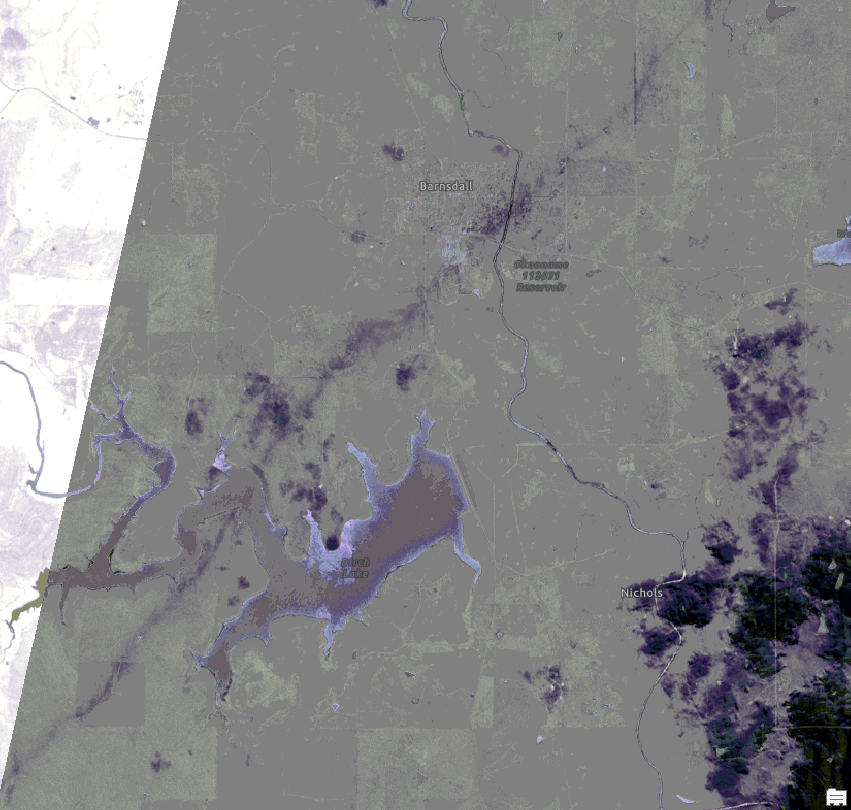
A European Space Agency satellite captured this image of the whole track. Barnsdall is labeled.
SCAR OF DEVASTATING OKLAHOMA EF-4 TORNADO CAN BE SEEN FROM SPACE
The tornado struck around 9:30 at night. It was the second tornado to hit the town in a month.
Original article source: Satellite imagery shows breadth of deadly Barnsdall, Oklahoma tornado destruction

