Icy conditions remain for morning as rare March snow blankets lowland Whatcom County
Chances of more snow across lowland Whatcom County are decreasing this week but icy conditions are possible on Tuesday as temperatures drop overnight, coating wet roads with ice and frozen slush from a rare early March snow.
Overnight temperatures will drop below freezing for several nights this week as a trough of low pressure drags cold air toward the surface, according to the latest forecast from the National Weather Service in Seattle.
“That’s definitely something that we’ll be looking at. It might be slick for commuters in the morning,” meteorologist Harrison Rademacher told The Bellingham Herald on Monday.
Expect daytime highs this week in the mid-40s with overnight lows at freezing or below. Overnight snow is possible Monday night and Thursday night.
More seasonable temperatures should return by Friday, which has a forecast high of 51 degrees, Rademacher said in a phone call.
Schools across Whatcom County were operating on time and major roads were mostly clear and wet with some icy patches as light snow started falling overnight and lasted until mid-morning Monday.
Bellingham school buses were operating were on morning “snow routes” with limited service, but no other local districts reported schedule changes at 6 a.m. Monday.
“Mother Nature isn’t quite done with the snow yet and we see some for you morning commute. Crews are out, please give them some room to work if you see them,” the Washington State Department of Transportation tweeted.
Bellingham Department of Public Works crews were prepared for the snow, spokeswoman Torhil Ramsay told The Herald in an email.
“City crews have been out de-icing streets in preparation for colder weather. We have not needed to plow, but our trucks are ready if necessary,” Ramsay said.
Snowfall amounts varied Monday, with about a half-inch of snow around Blaine and 2.5 inches near Sudden Valley, according to data from the Community Collaborative Rain, Hail and Snow Network of amateur weather observers.
Snowfall was lighter toward sea level with up to 2 inches of snow on the hills around Bellingham, similar to a brief snowfall on Saturday afternoon.
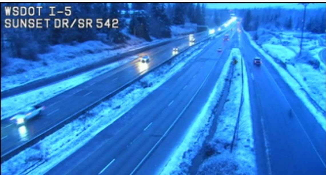
Heavier snowfall was reported south of Whatcom County, and I-5 showed snowy patches on WSDOT cameras.
Whatcom Transportation Authority didn’t report any service disruptions Monday.
Light snow was falling at Bellingham International Airport at 6 a.m., but the runway was clear and no flight delays were reported online.
Several crashes were reported as snow began falling before midnight Sunday, but no traffic incidents were noted Monday morning on the emergency services app Pulse Point.
In contrast, heavy snow continued to fall in the North Cascades, with the Mt. Baker Ski Area reporting more than 2 feet of snow in the past two days and about 10 feet of snow in the past week.
WSDOT closed Mount Baker Highway near the ski area on Monday to conduct avalanche control, and ski area officials posted a deep snow and tree well advisory.
A Sedro-Woolley man who was an off-duty Ferndale firefighter died on Friday in an apparent tree well accident.

