Powerful Hurricane Irma is a growing threat to the East Coast, but details still unclear

Note: This story has been updated with the latest forecast information as of Monday morning.
The last thing the U.S. needs now, in the wake of devastating Hurricane Harvey in Texas and Louisiana, is another major storm. But that's exactly the scenario that is a growing possibility late in the week as Hurricane Irma, which has already reached "major" hurricane status as a Category 3 or greater storm, moves west toward the Leeward Islands and the Bahamas.
There is a lot of uncertainty associated with hurricane track forecasts 5 days or more in advance, so even discussing the storm's possible impacts on the U.S. is somewhat fraught. But odds are increasing that the storm will have at least some effects on the U.S.
It's a good idea for people from Florida to Maine to begin preparing for the possibility that an intense, large hurricane will come close to or over their location in about a week from now. Having a hurricane plan and preparing, using materials available on ready.gov, for example, would be prudent at this point. This is a no regrets approach given that we're nearing the peak of the hurricane season anyway.
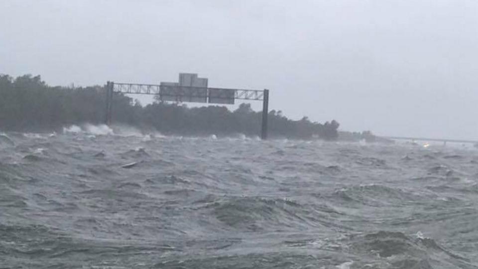
SEE ALSO: Incredible moment reporter helps rescue man caught in Harvey floods, live on TV
Here's what is known with a high degree of confidence. Hurricane Irma is a strong storm, and may get stronger as it moves toward the Leeward Islands. Computer models nearly universally intensify it to a Category 4 or 5 beast, and also project that it will transition from a compact hurricane to one with a broader circulation, which would make it more capable of producing a damaging storm surge.
Here are the 5 am AST Sep. 4 Key Messages for Hurricane #Irma: https://t.co/kNKFgfnDfz pic.twitter.com/g7BmP3tgs4
— NHC Atlantic Ops (@NHC_Atlantic) September 4, 2017
The storm is likely to batter the northern Leeward Islands beginning late Tuesday, and popular vacation spots such as St. Kitts, Nevis, Barbuda, Anguilla, and Saint Maarten, which lie in its path. In addition, Puerto Rico may see significant impacts from Irma on Wednesday and Thursday.
It's also now likely that the storm will affect the southern Bahamas by mid-to-late week, and that at this point it may be a Category 4 or 5 storm. This means that any locations that see a direct hit or even a near miss may be significantly affected. Irma may also affect Haiti and the Dominican Republic late this week.
The key to the forecast for Irma lies in if and when it slows down and turns to the north, since it is currently moving at a speedy clip toward the southwest, with a turn toward the west expected in the next few days.
Through the day Sunday and into Monday morning, many computer models trended toward a solution in which the storm's northerly turn comes too late to spare the U.S. of direct impacts: after the storm moves far enough west that an encounter with the U.S. coastline is all but assured. The National Hurricane Center (NHC) issued a track forecast earyl Monday that contains a significant move southward compared to previous forecasts. The storm track forecast now puts South Florida and Cuba in the storm's potential crosshairs in 5 to 7 days (note: The NHC forecasts only go out to day 5).
EPS 00z initialized a much more realistic vortex w/Irma
Tracks still widely spread past Day 5 but not as far west as GFS/GEFS
Spaghetti(o): pic.twitter.com/9VxjlmEkNI— Ryan Maue (@RyanMaue) September 4, 2017
Areas that should be watching Hurricane Irma especially closely include the East Coast from Florida to North Carolina, since even slight changes in the storm's movement would imperil a totally different area of the coast. No locations on the East Coast can let their guard down yet, especially given the storm's projected intensity.
At this point in the forecast period, computer model ensembles are especially useful tools, since they give meteorologists an idea of how uncertain a forecast is and what the range of possibilities are for a storm's likely track and intensity.
Ensembles are produced by running a computer model multiple times while varying the input conditions slightly. If there's a particularly wide spread in storm tracks, that would suggest that the forecast is still quite uncertain.
On Sunday and Monday, many of the ensemble runs of the reliable European model and the somewhat more unsteady American GFS model trended westward with the storm, closer to the U.S. coast, although quite a few ensemble "members" of the European model still track the storm off the East Coast, avoiding a domestic landfall.
Needless to say, this is an unnervingly uncertain forecast at this point.
Intense storms like Irma are steered by winds at the upper levels of the atmosphere, and these air currents are going to depend on a battle that will play out between a high pressure dome across the North Atlantic Ocean and a dip, or "trough," in the jet stream that is forecast to develop across the Midwest and East this week.
#NOAA42 made first pass through the eye of #HurricaneIrma to collect Doppler radar data for #HWRF. pic.twitter.com/hMA7hGeDrc
— HRD/AOML/NOAA (@HRD_AOML_NOAA) September 3, 2017
The winds around these weather systems could create a funnel of sorts to scoot Hurricane Irma through the Bahamas and then out to sea, or they may allow it to move west or northwest, into the Southeast or possibly even the Northeast coast. The Hurricane Center noted in a forecast discussion on Monday morning that it appears the trough will miss a chance to pick up Irma and deflect it out to sea, instead lifting out ahead of the storm.
To try to reduce the amount of uncertainty in the forecast the National Oceanic and Atmospheric Administration (NOAA) is flying hurricane hunter aircraft into and near Hurricane Irma beginning on Sunday evening, and the data from these flights will be fed into subsequent computer model runs to improve their accuracy.
The bottom line: This will be a large and extremely powerful storm, and it's increasingly possible that it will have significant impacts on the East Coast of the U.S., even if it does not make landfall. However, an out-to-sea scenario, which would keep the most intense winds and highest waves off the coast, remains in play.
Stay tuned...
WATCH: Catastrophic floods turn Texas highway into a large body of water with intense waves