A new plan would preserve pathways for wildlife near the White Tank Mountains
Before Phoenix pushed outward toward the White Tank Mountains, the range was a refuge for wildlife, whether they set up home territories or migrated between mountain ranges.
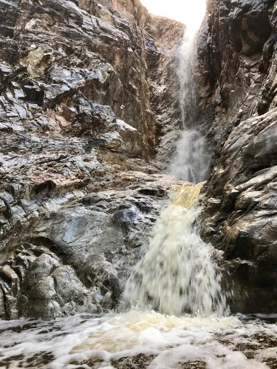
As central Phoenix became densely developed, the White Tank Mountains offered residents access to rugged peaks, vast stretches of saguaro cactuses and glimpses of wildlife amid the arid terrain, just 40 minutes from downtown.
But ready access to the White Tanks makes the area prime real estate, and now conservationists fear wildlife could be displaced again.
As urban sprawl spreads into the West Valley, traditional wildlife habitat around the White Tanks is becoming more fragmented as migratory pathways are cut off by master-planned communities and roadways.
The connections to other habitats in the Belmont Mountains are at risk, and once those pathways are gone, animals are unable to roam, an instinct migratory species need to survive.
It's happened before: from Camelback to Piestewa, from South Mountain to the North Mountains, the areas have been nearly surrounded by roads, commercial areas and residential neighborhoods, with even some homes creeping up the mountainsides.
The areas have become land islands, fragmenting wildlife habitat and cutting off migration corridors.
To address those concerns, the White Tank Mountains Conservancy is creating a wildlife linkage plan to ensure development continues without trapping wildlife, hoping to prevent complete isolation.
The Conservancy has partnered with Buckeye developers and local government to ensure construction continues without isolating wildlife or diminishing recreational opportunities.
The corridor will connect the west side of the White Tank Mountains with the Belmont Mountains, ensuring animals can continue to disperse even as the area continues to develop.
“We have an opportunity to define a development urban pattern of growth here differently than we did on the floor of the valley,” said Laurel Arndt, program manager for the White Tank Mountains Conservancy.
“Let’s make sure we have a buffer to move animals around. We don’t want to island them off and isolate them with subdivisions,” she said. “You can still have development in the area, it just needs to be strategic.”
Why are the White Tank Mountains important to wildlife?
The White Tank Mountains are home to a variety of wildlife, including mule deer, mountain lions, bobcats, javelinas, and, most recently, some bighorn sheep that have returned to the area.
About 615 native plant species and 521 animal species rely on the regional corridor, and conservationists want to protect these species while enabling development in the area.
The mountains are part of a natural corridor, and animals, especially migratory, large mammal species, rely on them for food, habitat, and movement.
Wildlife corridors, or linkages, help keep habitats connected. They allow animals to travel for resources and mates, individuals to disperse and breed to further gene flow, and animals to move seasonally and transition to areas more resilient to climate change and other stressors.
“Corridors allow them to move into farther areas, allow biodiversity and strengthen the species,” Arndt said. “Ecological habitat needs to be shared. We just can’t have these islands. If you go to Camelback, you’ll see very limited species there.”
Land for wildlife: Funding to help repair habitat damaged by development, drought, wildfire
What is the wildlife linkage plan?
In December 2023, the White Tank Mountains Conservancy created the concept for the wildlife corridor. The plan was approved by developers in the area — including the builders behind Teravalis, the 37,000-acre master planned community under development — and Buckeye.
Organizers planned a pathway that would allow wildlife to travel from the west side of the White Tank Mountains farther west to the Belmont Mountains.
They hope to create a path connecting the 12 miles between the mountain ranges, navigating around topography and other roadblocks like the Central Arizona Project canal.
“While there is a footprint out there, and it is conceptual in nature, everybody agreed that we need to move these large mammal species from the west side of the White Tanks to the Belmonts,” Arndt said.
“How it gets through there is going to change and morph according to how development occurs. There are a lot of unknown things that could happen in the next five or 10 years,” she added.
The conservancy hopes to continue collaborating with developers and the local government to design the corridor conscientiously, allocating open space required for floodplain management as part of the corridor, for example, or giving open space credits to developers.
“Developers have to leave about 20% or so as open space anyway, so a lot of this can happen in that,” said Chris Judd, board chair of the White Tank Mountains Conservancy.
The corridor would be about 3,600 feet wide, just under seven-tenths of a mile, creating an area that is not too big or small for animals to recognize and move through. It would create habitat patches and built-in rest stops for animals to eat and rest.
“Animals are smart; they figure out where they need to go to get water and move around,” Arndt said. In fact, when we had trap cameras and collar work out there, we were able to validate the path that they were taking was pretty much the path we had.”
Wildlife corridors: Wolves can't read maps, but wildlife managers say habitat borders are still effective
Balancing development with wildlife and recreation
While preserving wildlife corridors has an ecological benefit, the conservancy and developers acknowledge having access to the White Tanks is also an economic draw.
“Everybody out there recognizes that this is an amenity,” Arndt said. “We’re not talking about putting parks and trails in the middle of the corridor, but it’s going to be an open space amenity.”
“Developers, of all people, are coming to us saying how much they want to incorporate passive recreation and open space because they know that’s what sells," she said. "Nature sells.”
Howard Hughes Corp., the developer of Teravalis, has dedicated at least 20% of its communities to parks, lakes, trails and nature preserves. They aim to continue these allocations in Buckeye and support the conservancy’s corridor to provide their residents access to natural landscapes.
Along with the wildlife corridors, the conservancy hopes to preserve recreational opportunities in the area. About 550,000 people visit the White Tanks and Skyline Regional Park every year, according to the conservancy.
“Instead of telling people to go up to Sedona or the Grand Canyon, just go to the White Tanks,” Arndt said. “It’s right there, one of the most beautiful regional parks we have. It’s an amenity everyone is interested in preserving and using as a jewel in their backyard.”
Hayleigh Evans covers environmental issues for The Arizona Republic and azcentral. Send tips or questions to hayleigh.evans@arizonarepublic.com.
Environmental coverage on azcentral.com and in The Arizona Republic is supported by a grant from the Nina Mason Pulliam Charitable Trust.
Sign up for AZ Climate, our weekly environment newsletter, and follow The Republic environmental reporting team at environment.azcentral.com and @azcenvironment on Facebook, X and Instagram.
You can support environmental journalism in Arizona by subscribing to azcentral today.
This article originally appeared on Arizona Republic: A wildlife corridor would help wildlife in White Tank Mountains

