Plains, South brace for possible severe weather
OKLAHOMA CITY (AP) — Forecasters warned residents in many Midwestern and southern states to be alert Sunday as the threat of severe weather and tornadoes intensified.
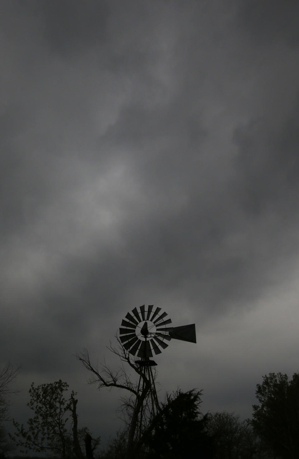
The risk of tornadoes will rise throughout the day, centered in an area stretching from Omaha, Neb., to northern Louisiana, the National Weather Service's Storm Prediction Center in Norman, Okla., said. Some twisters could be particularly strong in the late afternoon and evening.
"The greatest risk for a few intense tornadoes will exist across much of Arkansas perhaps into western and central Missouri," a weather service advisory said, noting the Delta region of northwestern Mississippi also could be affected late in the day.
Nebraska was the first state to have a report of a tornado. The National Weather Service said one touched down Sunday afternoon in a rural area in central Nebraska for a short amount of time, but no damage was immediately reported.
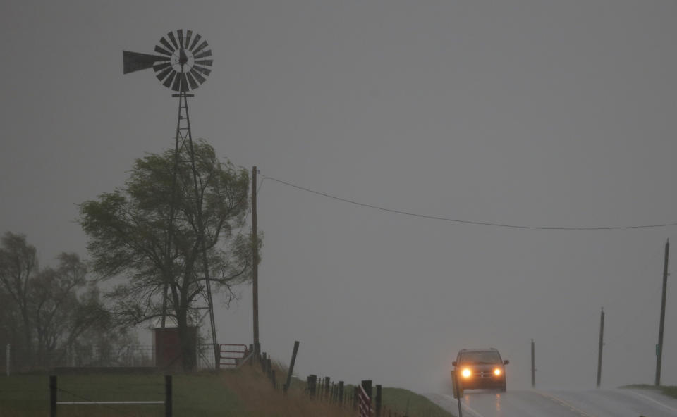
Tornado watches — which means twisters could develop but aren't an immediate threat — were widespread across the Midwest and southern states Sunday, being issued in Kansas, Missouri, Nebraska, Iowa, Arkansas, Oklahoma, Texas and Louisiana.
Even if tornadoes don't form, some areas could see hail and high winds, forecasters said, warning the hail could be as big as baseballs and wind gusts could reach hurricane-force — 75 mph or higher.
A strong line of storms moved through west-central Missouri on Sunday afternoon, bringing winds that reached 70 mph hour near Chillicothe, Mo., that toppled some trees.
The Missouri Highway Patrol also reported a tractor-trailer was blown onto its side on Interstate 70 about 30 miles east of Kansas City about 1 p.m. No one was injured.
The weather service received a report from Plattsburg, Mo., where an anemometer measured 58 mph before it blew away. Golf ball-sized hail was reported at Overland Park, Kan., and Trimble, Mo.
A severe thunderstorm watch covered portions of Iowa, Illinois and Missouri through Sunday night. The primary threats were damaging wind gusts and large hail.
To the southeast, northern Louisiana and Mississippi were bracing for severe storms along with the possibility of flash flooding. The predictions prompted Barksdale Air Force Base near Bossier City, La., to cancel its air show on Sunday. The National Weather Service said northern Alabama could see rain and flash flooding, while central and northern Georgia could see storms and heavy rain.
Meanwhile, runners in Oklahoma City took shelter early Sunday as hail and high winds delayed the Oklahoma City Memorial Marathon by 105 minutes to let a severe thunderstorm pass through.
Race organizers already had arranged for three shelters to be used along the 26.2-mile route, but when the storm came early, downtown businesses opened their doors for the runners. The race is dedicated to the victims of the 1995 bombing, which killed 168 people.
