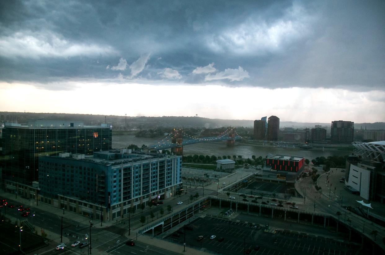
Severe thunderstorm warnings expire in parts of Ohio, Indiana and NKY
Update, 5:19 p.m.: Clermont County is no longer under a severe thunderstorm warning. The warning issued by the National Weather Service in Wilmington expired at 5 p.m.
Update, 4:27 p.m.: A severe thunderstorm warning for parts of Butler, Hamilton and Warren counties has expired. Clermont County is now under a warning.
As of 4:15 p.m., Butler, Hamilton and Warren counties are no longer under a warning.
The National Weather Service in Wilmington issued the warning for south central Clermont County in effect until 5 p.m. The storm was moving eastbound at 25 mph with possible quarter-size hail.
Update, 3:40 p.m.: The National Weather Service in Wilmington has issued a severe thunderstorm warning forparts of Butler, Hamilton and Warren counties until 4:15 p.m.
A severe thunderstorm was located over Forest Park,moving east at 25 mph. Radar indicated 60 mph wind gusts and quarter-size hail.
Locations impacted include Hamilton, Fairfield, Mason, Lebanon, Forest Park, Sharonville, Monroe, Blue Ash, Loveland, Springdale, Reading, Montgomery, Wyoming, Mount Healthy, Finneytown, West Chester, Ross, Highpoint,Dunlap and Pleasant Hills.
Severe Thunderstorm Warning including Fairfield OH, Mason OH and Forest Park OH until 4:15 PM EDT pic.twitter.com/Ld3AHE2NOh
— NWS Wilmington OH (@NWSILN) July 2, 2023
Update, 3:30 p.m.: The severe thunderstorm warning for western Butler County and northwestern Hamilton County was allowed to expire.
The storm which prompted the warning has weakened below severe limits, and no longer poses an immediate threat to life or property. The weather service said gusty winds are still possible with this thunderstorm.
A Severe Thunderstorm Watch remains in effect until 9 p.m. for southeastern Indiana…and southwestern Ohio.
Please report previous wind damage or hail to the National Weather Service by going to the website or submitting reports via social media.
Update, 3:25 p.m.: The National Weather Service has issued a severe thunderstorm warning for east central Switzerland County in southeastern Indiana and southern Kenton, southern Boone, northern Grant , north central Pendleton and Gallitan counties in northern Kentucky until 4 p.m.
A severe thunderstorm was located near Warsaw, moving east at 25 mph. Radar indicated 60 mph wind gusts and quarter-size hail.
Locations impacted include Covington, Independence, Williamstown, Walton, Crittenden, DryRidge, Warsaw, Florence, Kentucky Speedway, Ryland Heights, Glencoe, Sparta, Visalia, Atwood, Ryle, Northcutt, Interstate 71 at US Route 127, Steele Bottom, Bracht and Gardnersville.
Previous reporting: The National Weather Service has issued a severe thunderstorm warning for southeastern Franklin County and northeastern Dearborn County in Southeast Indiana and western Butler County and northwest Hamilton County in Southwest Ohio until 3:30 p.m.
A severe thunderstorm was located near Bright, Indiana, moving northeast at 35 mph. Radar indicated 60 mph wind gusts and quarter-size hail.
Severe Thunderstorm Warning including Dent OH, Harrison IN and North College Hill OH until 3:30 PM EDT pic.twitter.com/cUhPg758YD
— NWS Wilmington OH (@NWSILN) July 2, 2023
Ohio locations that could be impacted include Cincinnati, Hamilton, Fairfield, Oxford, Forest Park, Harrison, North College Hill, Mount Healthy, Hidden Valley, Finneytown, Ross, Cleves, Shawnee, Taylor Creek, MiamiHeights, Dry Ridge, Blue Jay and Dunlap.
There is a severe thunderstorm watch for a large portion of Indiana and Ohio through 9 p.m.
[2:12 PM] Severe Thunderstorm Watch in effect until 9 PM. pic.twitter.com/jq2M81J0td
— NWS Wilmington OH (@NWSILN) July 2, 2023
The National Weather Service is responsible for issuing severe weather watches, warnings and advisories to alert the public when dangerous weather conditions are expected.
Watch - A weather watch means there is the potential or conditions exist for a dangerous weather event.
Warning - A weather warning means that a dangerous weather event is imminent. Immediate action must be taken to protect life and property.
Advisory - A weather advisory means weather conditions that are less serious than a warning are imminent. These events may cause a significant inconvenience, and if caution is not exercised, it could lead to a situation that may be threatening to life and property.
This article originally appeared on Cincinnati Enquirer: Parts of Ohio, Indiana and NKY no longer under thunderstorm warning

