Overnight downpour soaks SLO County. Here’s how much rain fell in your area


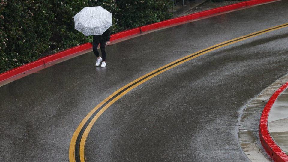

A late-season storm brought more than an inch of rain to many spots around San Luis Obispo County, and it’s not done yet.
County locations received anywhere from a half of an inch to nearly 4 inches in the 24-hour period ending at 10 a.m. Saturday, according to the San Luis Obispo County Department of Public Works.
Rocky Butte, a location in the mountains northeast of Cambria that’s often the wettest spot in the county in rainfall, led the way with 3.7 inches.
San Luis Obispo received 1.69 inches at Broad Street and Industrial Way, while 1.37 inches was recorded in Arroyo Grande. The hills between Atascadero and Morro Bay came in at 2.25 inches.
Here’s a look at all the totals from across the county, according to SLO County Public Works:
Arroyo Grande: 1.37 inches
Atascadero: 0.75 inches
Camp San Luis Obispo: 2.17 inches
Canet near Morro Bay: 1.30 inches
Creston: 0.80 inches
Davis Peak (near Montaña de Oro): 0.83 inches
Hog Canyon (north of Paso Robles): 0.76 inches
Highway 46 West: 1.07 inches
Lopez Dam: 1.69 inches
Los Berros: 1.93 inches
Los Osos: 1.77 inches
Morro Toro (Highway 41): 2.25 inches
Nipomo East: 1.35 inches
Nipomo South: 0.76 inches
Oceano: 1.02 inches
Rocky Butte: 3.70 inches
Salinas Dam: 2.39 inches
San Simeon: 1.31 inches
Santa Margarita: 1.79 inches
San Luis Obispo (Broad Street and Industrial Way): 1.69 inches
SLO Reservoir: 1.61 inches
Shandon: 0.47 inches
South Portal (Cuesta Grade): 1.81 inches
Templeton: 1.15 inches
Upper Lopez: 1.26 inches
What’s ahead in SLO County’s forecast
Rain is expected to continue throughout the day Saturday, with a chance for thunderstorms after 11 a.m., according to the National Weather Service. Between a quarter an a half inch of rain is forecast.
Mid-afternoon on Saturday, the Weather Service issued a special weather statement warning about thunderstorms and possible waterspouts that could even come ashore as weak tornadoes.
The system could produce wind gusts up to 50 mph, pea-size hail, brief heavy downpours and cloud-to-ground lightning, the Weather Service said.
“Some rotation is being detected offshore, with a slight chance of these storms spinning up a brief tornado over the statement area,” the Weather Service added.
The advisory was for western San Luis Obispo and Santa Barbara counties and was in effect until 4:15 p.m. Saturday.
Thunderstorms were expected to likely continue through the evening, with up to a quarter inch of rain possible overnight.
The forecast for Easter Sunday calls for a 30% chance of showers after 11 a.m. as the clouds clear to mostly sunny skies.
