After North Korea detonated a nuclear bomb inside a mountain, scientists watched it move

When North Korea detonates nuclear bombs, it brings the devices into tunnels dug deep inside Mount Mantap, a granite peak over 7,000 feet tall. Mantap has now sustained six such detonations, with the last of which — set off on September 3, 2017 — moving the mountain more than 11 feet (3.5 meters), according to researchers who used space imaging technology, called synthetic aperture radar, or SAR, to map how much Mantap's surface shifted and then settled back down during the blast. They published their results in the journal Science on Thursday.
Although this technique isn't yet used to rapidly detect attempts at secretive nuclear testing today, it could help do so in the future.
SEE ALSO: Extreme Arctic heat wave in 2016 wouldn't have happened without climate change
"World peace benefits from the adherence to internationally-negotiated nuclear-test-ban treaties that strive to promote the non-proliferation of nuclear weapons," Teng Wang, lead author of the study and a tectonics senior research fellow at Earth Observatory of Singapore, said in an email.
"Surveillance of clandestine nuclear tests relies on a global seismic network, but the potential of spaceborne monitoring has been underexploited," Wang added. "This study demonstrates the capability of spaceborne remote sensing to help characterize large underground nuclear tests, if any, in the future."
Wang and his team used data captured by the German imaging satellite TerraSAR-X to view the mountain before and after the explosion. The images aren't actual digital pictures of the mountain; instead, the satellite acts as a radar, bouncing pulses off the land below, which travels back up to the satellite in space, giving scientists detailed measurements — and how they changed after a powerful blast.
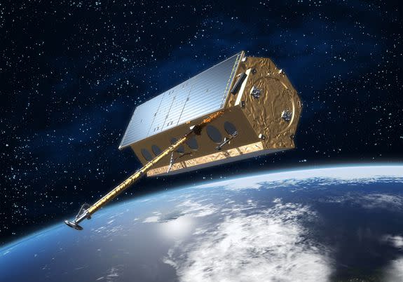
Image: dlr/esa
The same satellite technology can be used to measure how the land deforms after earthquakes, volcanic eruptions, moving glaciers and other natural events, said Wang. A great advantage to this space imaging technique is that, unlike digital imaging, SAR can penetrate clouds and weather, to see what's transpired below.
The fact that Wang could measure a massive chunk of Earth-bound rock moving horizontally over 11 feet is understandable, when considering how big the September 2017 blast was. Detonated around 1,500 feet below ground, according to researchers, it triggered a 6.3 magnitude earthquake, a strong class of temblor that causes violent shaking near the epicenter.
"This one was big enough that we saw it all over," Dale Anderson, a seismologist and specialist in nuclear nonproliferation monitoring at Los Alamos National Laboratory, said in an interview. "It was picked up on the other side of the world."
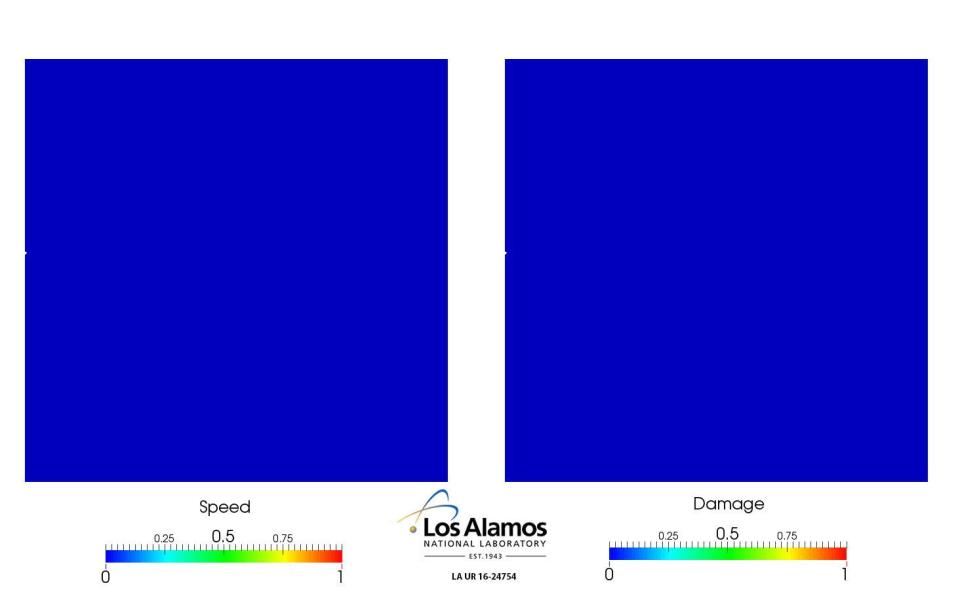
(Above: A simulation of rock damage from a nuclear blast. Credit: Los Alamos National Laboratory)
Although the international community can't see what North Korea is doing under Mantap, modern detection technology — while not capable of observing the mountain move — can easily spot a large nuclear blast, and pinpoint its location.
"It’s very, very, very hard to hide one of these," Anderson said.
As part of the international ban on testing nukes (which North Korea does not adhere to), an organization called the International Monitoring System (IMS) is measuring seismic waves "24-7," said Anderson. This includes picking up movement in the rock at seismic stations around the world, as well as acoustic pulses the blast sends up into the air.
Combining the two detection techniques can give scientists an accurate idea of where the shaking event came from, especially if the blast is big enough.
"Every Korean test we’ve ever heard has been big enough," said Anderson.
And confirming that the blast is definitely nuclear, and not say, an earthquake, is also possible. Nuclear blasts release a gas called xenon, which can be picked up by detectors all over the world. Even under a mountain, the gases can seep out, said Anderson.
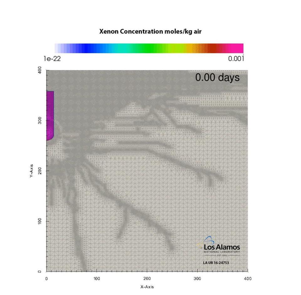
(Above: A simulation of gas moving to the surface. Credit: Los Alamos National Laboratory)
Future nuclear blasts underneath Mantap will almost certainly be picked by the IMS, and Wang said space imaging technology can then be used to learn more detail about the event — like how deep it is, and how it affected the mountain.
After enduring six nuclear blasts, one wonders how much more a mountain can take.
President Donald Trump is meeting with North Korean leader Kim Jong-un on June 12, in discussions that might persuade the military commander to denuclearize the secretive, communist nation.
Still, Mantap may continue to be used as a test site — if North Korea decides to continue its nuclear testing program. It takes a lot to topple a mountain.
After analyzing seismic shockwaves from the blast, the team suggests that some portions inside the mountain may have collapsed, but there's no way to actually confirm this without entering the mountain.
"You're talking about a chunk of solid, confident rock that is 800 meters thick," said Anderson. "You can’t just break that up with one shock."
"You’ll eventually find a flaw and it’ll crack," he added. "And if you smack it with a sledgehammer — a nuclear explosion — it might break a little quicker."
Related Video: Trump Announces Date For North Korea Meeting
Watch news, TV and more on Yahoo View.
WATCH: It takes absolute precision to construct Earth's largest telescope, which will peak into far-off alien worlds