NOAA forecasts active 2024 Atlantic hurricane season
HUNTSVILLE, Ala. (WHNT) — The Atlantic hurricane season will officially begin on June 1 and continue through November 30.
Last season, a total of 20 named tropical storms developed in the Atlantic Basin making it the 4th-active season on record.
During a normal Atlantic Basin hurricane season, there are 14 named storms. Of those, seven are hurricanes, three being major hurricanes. To be considered a major hurricane, the tropical cyclone must have sustained winds of 111 mph or higher, corresponding with a Category ‘3’ hurricane or higher.
Colorado State University forecasts above-average Atlantic hurricane season
On Thursday, the National Oceanic and Atmospheric Administration (NOAA) released its forecast for the 2024 season. NOAA is forecasting 17 to 25 named storms this season, 8 to 13 of which could be hurricane-strength. 4 to 7 could be major hurricanes. Forecasters have 70 percent confidence in these ranges.
Forecasters at NOAA have given the season an 85 percent chance of being above normal. The development of La Niña over the Pacific Ocean will support lower wind shear leading to a more favorable environment for tropical systems. Warm sea-surface temperatures and a high ocean heat content will also favorable tropical formation.
Hurricane forecasters also analyzed the potential for an above-normal West African monsoon season. The enhanced monsoon season will assist development and provide deeper moisture content for long-lived tropical systems.
Above is the list of the first 20 names for this upcoming season. If more than 20 storms are named, the National Hurricane Center will begin pulling from the alternate list.
You can always find the latest tropical updates on the NHC’s website.
Tennessee Valley Impacts:
The coastal regions feel a direct impact from tropical systems but here in the Tennessee Valley, the remnants can still lead to problems.
Here in the Tennessee Valley, the main impacts are inland flooding, flash flooding, strong winds and isolated tornadoes. Rain bands that rotate into the region are most likely to produce a tornado in North Alabama.
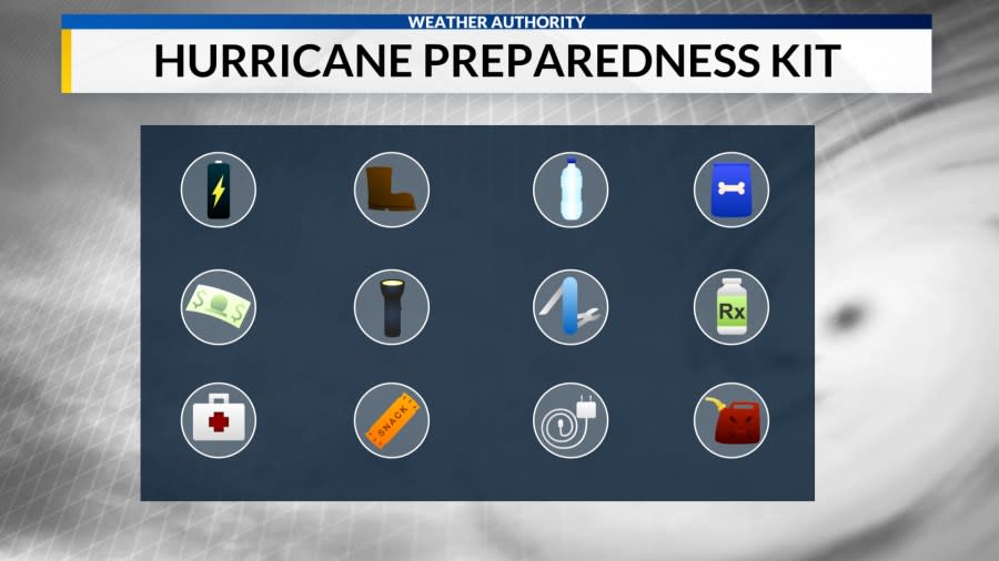
While we don’t experience storm surge or a landfall, it’s still important to be weather-aware. Having a plan and a safety kit ensures you are prepared for any severe weather event.
Tropical Storm Lee made Landfall in Louisiana in early September 2011 before weakening to a depression and moving onshore.
The main impact this storm had in the Southeast was heavy rainfall. Along with the significant amount of rainfall, tornadoes, storm surge and wind damage occurred. Tornadoes were observed across the Gulf Coast, Southeast and some Mid-Atlantic states.
As the remnants tracked northeast, a wave of tropical moisture was ushered into the region. With the abundance of moisture in place, heavy rain became the main threat to the Tennessee Valley. Rain totals ranged from 3.5 inches to more than 10 inches! The highest rain totals were observed in northeast Alabama. Portions of DeKalb, Jackson and Marshall Counties saw over 10 inches of rain!
Stick with the Weather Authority for the latest this season.
Copyright 2024 Nexstar Media, Inc. All rights reserved. This material may not be published, broadcast, rewritten, or redistributed.
For the latest news, weather, sports, and streaming video, head to WHNT.com.


