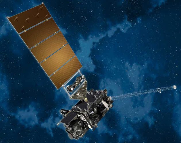
Next-generation GOES-17 weather satellite encounters infrared imaging glitch in orbit
Two months after its launch, the main imaging instrument on a next-generation weather satellite is experiencing problems with its cooling system.
That, in turn, is hurting the Advanced Baseline Imager’s ability to capture infrared and near-infrared images for the GOES-17 satellite, which is supposed to take over the task of monitoring weather systems over the Pacific Ocean and the western U.S.
Managers say the issue is being investigated by NASA, the National Oceanic and Atmospheric Administration and the imager’s contractor team, led by Harris Corp.
The problem has to do with the plumbing for the system that keeps the imager’s infrared detectors sufficiently chilled. Stephen Volz, NOAA’s assistant administrator for satellite and information services, told reporters that the glitch is a “serious problem.”

“This is the premier Earth-pointing instrument on the GOES platform, and 16 channels, of which 13 are infrared or near-infrared, are important elements of our observing requirements, and if they are not functioning fully, it is a loss,” he said during a teleconference. “It is a performance issue we have to address.”
Volz said the anomaly was detected three weeks ago during the checkout process for the satellite.
The visible-wavelength channels are working, but the infrared and near-infrared channels are unable to produce usable data for about half of the day, centered around satellite local midnight, said Tim Walsh, NOAA program manager for the GOES-R series. (GOES stands for Geostationary Operational Environmental Satellite.)
Volz said the other instruments on the satellite, including four space-weather instruments and a lightning mapper, are “checking out fine.” NOAA released the first imagery from the Geostationary Lightning Mapper on Monday.
Volz also stressed that the GOES satellites that NOAA is currently using for weather imagery, GOES-East and GOES-West, are working fine as well. There’s also a fully functioning on-orbit spare, GOES-14.
“There is no impact to the performance of the system,” Volz said.
He said the investigation team was “looking at several options to correct the problem.” If the problem can’t be fixed, there’d have to be revisions to the satellite operation plan. The current plan calls for GOES-17 to take over the GOES-West observational duties by the end of this year.
Like GOES-East, GOES-17 was designed with enhanced capabilities to help NOAA’s National Weather Service monitor storms, wildfires, fog conditions and other atmospheric phenomena in near real-time.
Two more satellites in the next-generation GOES-R series, currently known as GOES-T and GOES-U, are to be launched in 2020 and 2024. Total price tag for the satellite upgrade program is $10.8 billion, which includes development, launch and operations through 2036.
Depending on the results of the investigation, the launch dates for those future satellites may be revised.
More from GeekWire:
America’s newest weather satellite sends glorious pictures of Earth (and the moon)
Atlas 5 rocket launches GOES-S satellite to watch Western weather and wildfires
Night launch sends next-gen JPSS-1 weather satellite (and more) into orbit
Planetary Resources’ prototype asteroid prospector set for January liftoff in India
