Easter plans in jeopardy? SoCal storm bringing rain, snow, possible mudslides
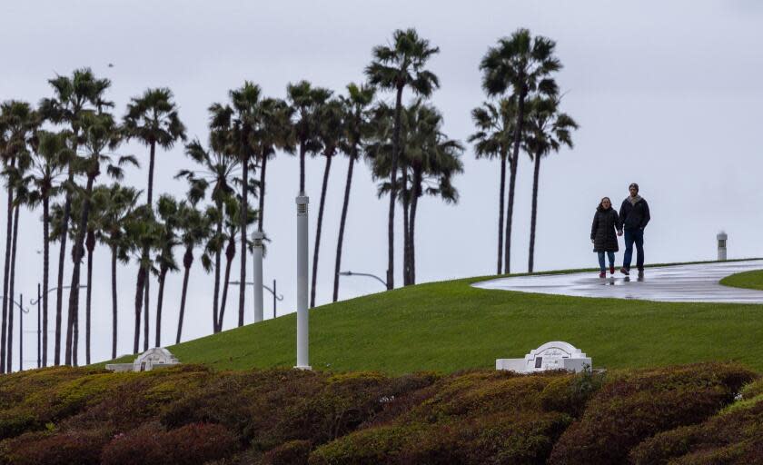
Another cold, wet storm brewing off the California coast is expected to bring more rain and snow across the Southland this weekend, with amounts falling that could spur minor flooding and mudslides.
The low-pressure system is expected to first bring rain to the Central Coast on Friday, then expand south over the next 72 hours — with rain, snow and gusty southerly winds developing across Southern California. From Saturday through Monday, there will be a chance for severe thunderstorms that could bring small hail, heavy downpours and brief tornadoes, weather officials warned.
“We are expecting some heavy rain at times and quite a bit of snow in the mountains," said Mike Wofford, a National Weather Service meteorologist in Oxnard. “It’s going to be a stormy period.”
Read more: Ready for more rain in SoCal? Rare late-season storm to hit during Easter weekend
When to expect rain?
For Los Angeles County, rain is expected to begin Friday evening, kicking off what forecasters say will be a pretty steady downfall through Saturday night.
“For the most part, it should be raining all Friday night and all of Saturday," Wofford said.
The rain will likely linger through Easter Sunday, when showers and thunderstorms are possible, Wofford said. By Monday afternoon, most of the rain should have moved out of the area.
How much is coming?
With strong competition from prior storms this winter, this system isn't shaping up to be the strongest this season, but forecasters say it is still colder and wetter than a typical, late-spring Pacific storm.
Most of Southern California can expect 1 to 2.5 inches of rain, though some foothill and mountain regions could see up to 5 inches, Wofford said, depending on thunderstorms and rain rates.
There's snow too
At about 5,000 feet of elevation, the rain will turn to snow — and a lot of it.
"We could have a couple feet of snow. The higher you get in elevation, the higher the amounts will get," Wofford said.
More than a foot of snow is expected in the San Bernardino County mountains above 5,500 feet. Lower elevations in the mountains of Los Angeles County could get 2 to 6 inches of snow, although Wofford said it's unlikely that the Grapevine will see any accumulation.
Read more: A river rescue as hail pounds SoCal. Meanwhile, a significant late-season storm is brewing
What are the risks?
Although some of the forecast rain totals aren't concerning at face value, the storm is following a winter of heavy rains that have continued to wreak havoc across the region.
“We have had a lot of rain this season, and we still have active slides ... so it’s not really going to take a whole lot to create some additional hazards across the area," Wofford said. “In terms of standard street flooding and mud and rock slides in the mountains and foothills, we’re going to see all of that this weekend."
Among the active landslides is one along Topanga Canyon Boulevard, which has been closed indefinitely in both directions between Pacific Coast Highway and Grand View Drive since March 12. According to an update this week from the California Department of Transportation, that landslide is "still moving and too dangerous to clear," with the additional rain this weekend expected to worsen conditions.
In the Hollywood Hills, additional homes were deemed unsafe to reenter last weekend following minor rainfall that appeared to trigger further land movement in the area, according to a report from KABC-TV. A Los Angeles Fire Department spokesperson told the news outlet that firefighters responded to reports of soil moving, which continues to be a concern given additional rainfall.
The National Weather Service said there's a moderate risk of significant flooding across the region, as isolated storm cells could bring rain rates of three-quarters of an inch per hour.
Read more: The Times' complete guide to storm safety preparedness
What's driving all this rain?
This system is kicking off a wetter weather pattern, driven in part by a strong El Niño winter, that is expected to continue for at least the next week.
It's picking up moisture from the Pacific Ocean before it comes ashore later this week.
"It’s a little stronger than our typical storm system, a little colder," Wofford said. "The impacts locally will be a little more than what we’re typically used to."
Weather officials said there's a 60% chance for another round of rain at the end of next week, as forecasters begin to track a different — likely weaker — storm.
This story originally appeared in Los Angeles Times.
