Meteorologist: Northern Michigan recorded warmest winter by 'significant margin'
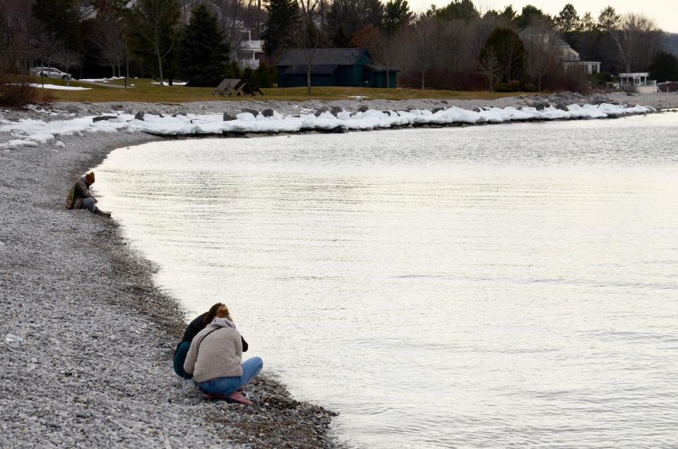
NORTHERN MICHIGAN — The Great Lakes State has seen a record warm winter, and Northern Michigan is no exception.
According to Harold Dippman, a meteorologist at the National Weather Service office in Gaylord, the differences in temperature and snowfall are significant.
"It definitely was a record-breaking winter, by a significant margin nonetheless, too," Dippman said. "When you're talking about a seasonal temperature record being broken by more than one degree, that is significant."
Snowfall deficits across the region reached a difference of 42 inches in Gaylord and 33 inches in Sault Ste. Marie. However, Petoskey saw an increase.
More: Thursday’s warm weather ‘smashed’ temperature records
"Just looking at the monthly data for January, that North Central Michigan College site actually reported 42.3 inches of snow, which is technically above normal," Dippman said. "The reason that occurred was because the wind direction was out of the west-southwest and it was far more favorable for lake effect snows to be generated off of northern Lake Michigan, enhanced off of Little Traverse Bay as well. Meanwhile, other places were not as lucky with the lake effect machine."
According to a report from the weather service, the 2023-24 average temperatures from Dec. 1, 2023 to Feb. 29, 2024 were higher in Sault Ste. Marie, Alpena, Houghton Lake, Gaylord, Pellston and Traverse City. Snowfall totals were down in all of the above locations as well, besides Pellston, which snowfall data was not available for.
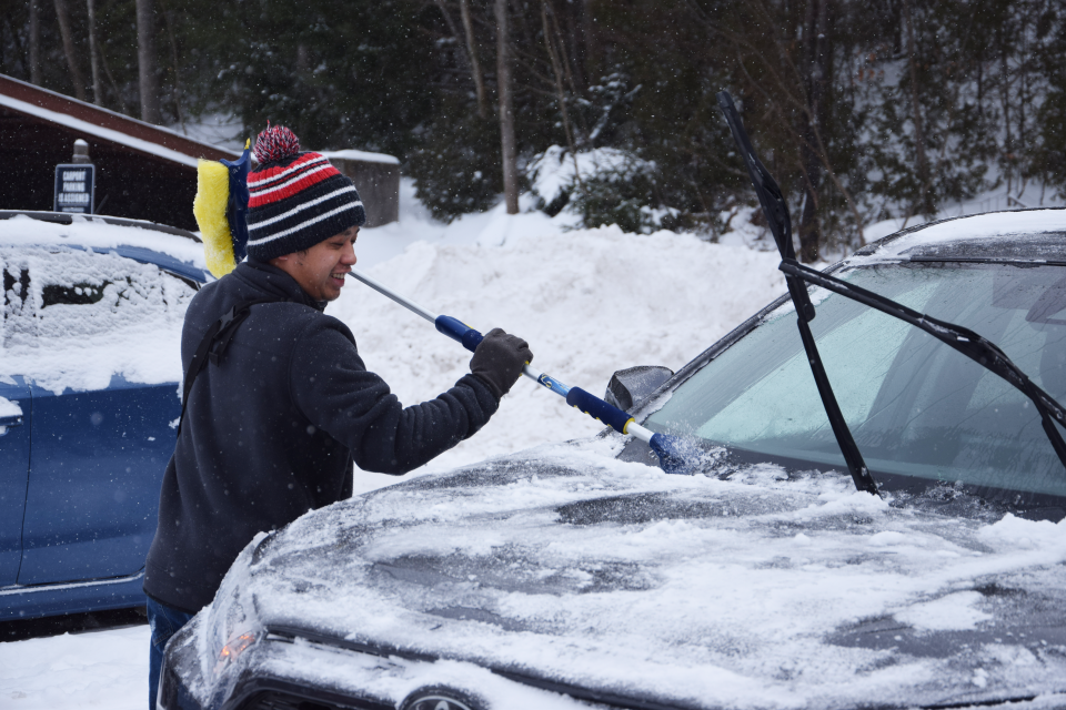
The warm temperatures don't necessarily point to the end of winter, however. Dippman said the area can expect a stretch of cold temperatures coming through the end of the month. Snowfall may follow with it, including lake effect snow, which the region saw lots of during a stretch of mid-January.
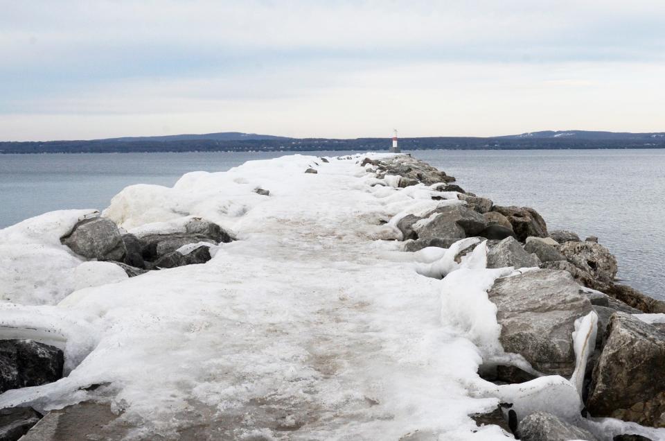
"The warmth drove record low ice cover on the Great Lakes. So if there is to be any colder air intrusions through the rest of the winter into the spring, we are certainly prone to — if it gets cold enough — there could be lake effects snow accompanying it," Dippman said.
Subscribe: Check out our latest offers
He said the lake effect snow would usually be a rarity this time of year because the lakes typically would have ice partially covering them, which "could really put a damper on the lake effect machine," he said.
"The most concentrated ice cover I would say across Northern Michigan probably favors the straits right now, and that doesn't really have much of an impact on lake effect tendencies," Dippman said.
The full climate report can be viewed at weather.gov/media/apx/climate/2023-24WinterClimateSummary.pdf.
— Contact reporter Karly Graham at kgraham@petoskeynews.com. Follow her on Twitter at @KarlyGrahamJRN.
This article originally appeared on The Petoskey News-Review: Northern Michigan records warmest winter by 'significant margin'

