Memphis weather: Heavy rain and tornado chances expected Wednesday. What to know
Severe weather is predicted Tuesday through Thursday for the Mid-South.
The National Weather Service has predicted rain to come to the Memphis area and visit for a few days this week. Starting Tuesday night, showers and thunderstorms are predicted for the area after 7 p.m.
Wednesday is when the real storms move into town.
Here is what to know.
Severe weather Wednesday evening for Memphis
On Wednesday evening, the weather service is warning of damaging winds and large hail as primary threats with tornadoes and heavy rain as secondary threats. Memphis will be in the enhanced risk zone on Wednesday evening.
"While strong to severe thunderstorms are possible Tuesday and Wednesday, there is a greater risk for severe weather development on Wednesday night," said the National Weather Service's forecast discussion,
The discussion goes on to say that Wednesday night is the most likely time for severe weather with damaging winds and tornadoes to occur for the next few days.

Twimg
Embedded content: https://pbs.twimg.com/media/GM-Gl_DbcAACYAW?format=jpg&name=large
Five day forecast Memphis
Wednesday is when the heavy rain arrives. There is a 50% chance of rain during the day and a 90% chance of rain at night. The high will be 85 degrees and the low will be 68 degrees.
Thursday has a high of 82 degrees and a low of 58 degrees. There is a 30% chance of rain during the day and a 20% chance of rain mainly before 1 a.m. Friday morning.
Friday is the first sunny day this week with a high near 72 degrees and a low near 54 degrees.
Saturday has sunny skies with a high near 76 degrees and a low near 56 degrees.
Sunday will have a high near 79 degrees and a low near 58 degrees. Skies will be sunny during the day and cloudy at night.
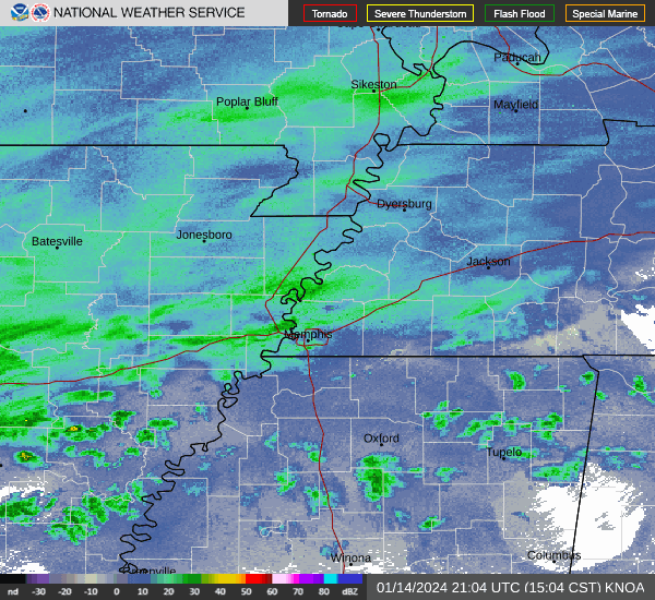
Memphis weather radar:
This article originally appeared on Memphis Commercial Appeal: Memphis severe weather: Mid-South faces threat of heavy rain, tornados

