A mega-tsunami in the Pacific north-west? It could be worse than predicted, study says

Scientists have long predicted a giant 9.0-magnitude earthquake that reverberates out from the Pacific north-west’s Cascadia fault and quickly triggers colossal waves barreling to shore.
But what if these predictions were missing an important piece of information – one that, in certain scenarios, could tell an even more extreme story?
A new study, published last month in the peer-reviewed journal Earth-Science Reviews, points toward such a missing piece. Researchers revealed a previously unknown relationship between the severity of a tsunami triggered by an earthquake and something known as “the outer wedge”, the area between the main earthquake fault and the seafloor.
Sylvain Barbot, a co-author of the study, described the outer wedge as the “garbage bag of subduction zones”, the place where two tectonic plates crash into each other and can produce an earthquake, because it’s where sediment piles up.
The researchers’ findings suggest that the wider it is, the larger the maximum size of the tsunami will be.
Related: Seconds before a 6.2 earthquake rattled California, phones got a vital warning
The connection adds a new element to consider when making tsunami predictions, one that the authors suggest could mean heightened worst-case scenario predictions for some faults, including Cascadia.
“There are places where [the outer wedge is] tiny, so great news,” said Barbot, an associate professor in earth science at the University of Southern California. “And there are places where it’s huge. And that’s the case in the Pacific north-west.”
For about two years, he and co-author Qiang Qiu, of the South China Sea Institute of Oceanology, studied 11 “tsunami earthquakes” that have taken place across the world over the past 200 years. These rare events involve less powerful earthquakes (the authors looked at those measuring 7.1- to 8.2-magnitude) that produce huge tsunamis and have long puzzled scientists.
They found a correlative relationship between the maximum tsunami height and the outer wedge. The wider it is, Barbot explained, the more faults there are, the more chances there are to move the seafloor and thus the more extreme the tsunami may be.
“Imagine a bookshelf full of books, and you take the books and you tilt them all 45 degrees … The interface between any book is a fault. And so, in an outer wedge you have all of these books, and all of these faults in between. And they can provide a pathway for the rupture to go up, instead of going left,” he explained.
From there, they used these findings to make tsunami predictions about dozens of other active subduction zones around the “ring of fire”, a nearly 25,000-mile path where most of the world’s earthquakes occur.
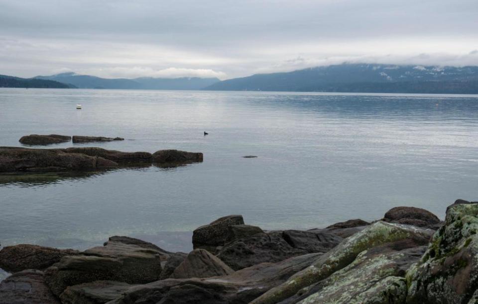
Towards the top of that list was the 600-mile Cascadia subduction zone. It runs from Vancouver Island, Canada, down to northern California, and is poised for its next large earthquake. Its last Big One was in 1700, and current estimates point to about a 15% chance of a 9.0-magnitude earthquake in the next 50 years.
A 2015 Pulitzer prize-winning New Yorker article brought widespread attention to the subduction zone, describing its next full-scale quake “as the worst natural disaster in the history of North America, outside of the 2010 Haiti earthquake”.
The site, according to the authors, has a fairly large outer wedge (running between 15 and 43km). According to their research, that suggests that the tsunami triggered by the earthquake could reach higher than 200 feet (61 meters). Although there’s a range of predictions for the Big One, that is roughly twice as high as some of the most severe previously considered scenarios.
When compared with the 30 other subduction zones analyzed by the study’s authors, Cascadia was ranked fifth in terms of tsunami severity. It’s behind such subduction zones as Makran (in Pakistan and Iran), Aleutian (in Alaska) and Lesser Antilles (in the Caribbean), according to the authors.
Barbot explained that the findings need to be further validated, but they could ultimately lead not only to changes in tsunami predictions, but also to emergency preparedness in these regions.
“If you prepare for a 30-meter tsunami, and a 60-meter one comes in, you basically need to double the height of your evacuation zones,” he said. “You need to change where you plan to build the infrastructure, like hospitals and schools. It changes also, in a more practical sense, basically the price of insurance for real estate. It changes the risk, essentially, and how it’s spatially distributed.”
But of course, this outer wedge is not the only variable that can influence the size of a tsunami. There are many other factors that come into play, including the slope of the seafloor and the overall topography.
Harold Tobin, director of the Pacific Northwest Seismic Network and professor of earth and space sciences at the University of Washington, cautioned that while this study reveals an interesting new finding, further research is needed to fully factor in these other variables.
He explained that it would be premature to jump to any conclusions or start modifying how the Pacific north-west or other areas prepare for tsunamis.
“What we need to do is factor in the evidence that this paper has given us to build better models for all of that; to refine and improve the scenarios that are being prepared for,” said Tobin. “But all by itself, it doesn’t mean that we need to suddenly say, ‘OK, there’s double the tsunami hazard as before.’ It just points to one possible mechanism that could mean that the tsunami hazard could be greater than previously thought.”

