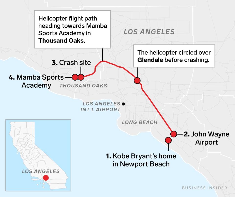
This map shows the exact path of Kobe Bryant's helicopter before it crashed, killing all 9 people on board
Monica Almeida/Reuters
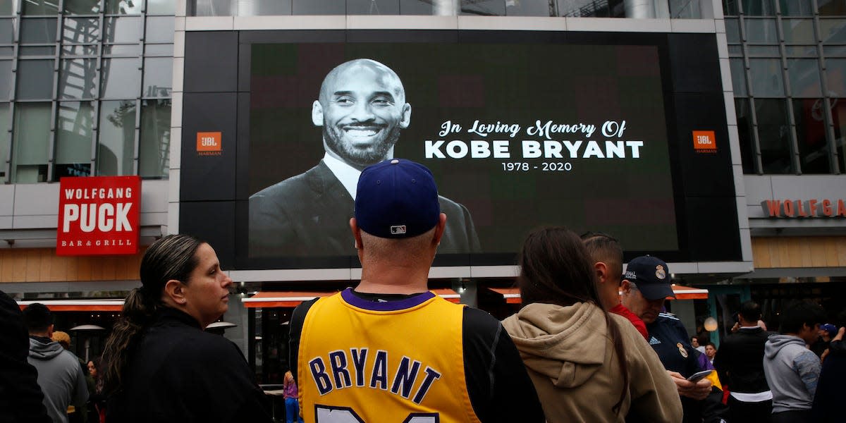
NBA legend Kobe Bryant was killed in a helicopter crash in California on Sunday morning.
His helicopter crashed in Calabasas as he was en route to the Mamba Sports Academy in Thousand Oaks with his 13-year-old-daughter.
His daughter, Gianna, as well as the seven other people in the helicopter were killed.
The map below shows the route Bryant's helicopter took on Sunday.
NBA legend Kobe Bryant was killed on Sunday when his helicopter crashed in Calabasas, California as he travelled with his 13-year-old-daughter, Gianna, and seven others to the Mamba Sports Academy in Thousand Oaks.
Bryant's helicopter had taken off at 9.06 a.m. PT from John Wayne Airport in Santa Ana, close to his home in Newport Beach, and was travelling northwest towards the academy.
The helicopter flew as far as Glendale, some 40 miles from John Wayne Airport, where it circled for around 10 minutes, before continuing towards Thousands Oaks.
Just before 10 a.m. the aircraft crashed while making a left turn, killing Bryant, his daughter, and seven others.
Also killed in the crash were Alyssa Altobelli, a teammate of Gianna Bryant's, her father John Altobelli, mother Keri Altobelli, Christina Mauser, Payton Chester, Sarah Chester, and Ara Zobayan.
You can see a map showing the route of Bryant's journey below:
Skye Gould/Business Insider
You can read all of Business Insider's coverage of Kobe Bryant's death here.
Read the original article on Business Insider

