Large hail, damaging winds, tornadoes threaten KC area as severe weather returns
Powerful thunderstorms are expected to sweep through the Kansas City region Tuesday, bringing the threat of large hail, damaging winds and maybe a tornado or two, the National Weather Service said.
Before the storms arrive, temperatures will climb to the low 80s in the metro, well above Kansas City’s average temperature of 70 degrees for this time of year.
Breezy winds of six to 11 mph will increase to 16 to 21 mph in the afternoon. Gusts could reach as high as the low 30s, the weather service said.
The storms are expected to develop late afternoon across eastern Nebraska and western Iowa. During the evening, they will likely spread southward into northeastern Kansas and northwestern Missouri.

The timing of the storms is between 6 and 8 p.m. for areas north of Interstate 70 and west of Interstate 35 and spreading to areas to the south of I-70 and east of I-35 between 8 and 10 p.m., according to the weather service. The storms should move eastward and begin to lose strength after 10 p.m.
The storms’ most likely threats are large hail and damaging winds. The threat of tornadoes is low, but a tornado or two cannot be ruled out, the weather service said.
The weather service’s Storm Prediction Center said western and central Iowa southwestward across far southeast Nebraska, far northwest Missouri into northeast Kansas are at the greatest risk of severe weather.
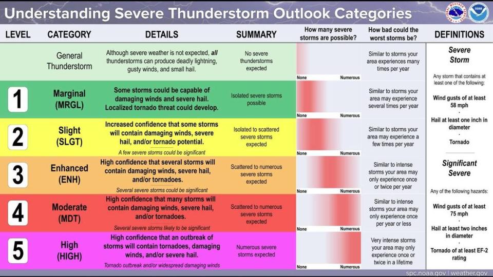
The Storm Prediction Center has placed Kansas City, Des Moines, Topeka and Lawrence under an enhanced risk of severe weather.
Another round of severe weather in forecast
Tuesday’s weather will kick off a stormy period for the Kansas City area. Additional thunderstorms are possible Wednesday evening and Thursday, and then again Friday night into Saturday and Sunday night into Monday.
Strong to severe storms are possible on Wednesday.
The weather service said that because the ground has been saturated by previous storms, flash flooding and additional river flooding is possible.
This has been an unusually wet month in Kansas City. So far, the metro has received 6.44 inches of precipitation, compared to the normal 4.05 inches for April.
Weather watches and warnings
A live data feed from the National Weather Service containing official weather warnings, watches, and advisory statements. Tap warning areas for more details. Sources: NOAA, National Weather Service, NOAA GeoPlatform and Esri.

