Isolated flash flooding threat Friday
HUNTSVILLE, Ala. (WHNT) — The Weather Authority is continuing to monitor the rain and storm threat across the Tennessee Valley through Friday evening.


Storms started developing during the early commute across NW Alabama and slowly tracked eastward through the morning.
The slow progression of the storms leads to very heavy rain for counties West of I-65. This area observed nearly 0.50 inches to 0.75 inches of rain. Isolated locations where multiple storms moved over the same area received an inch or more.
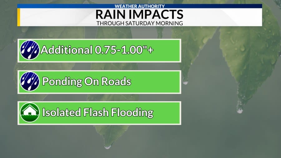
With additional storms in the forecast through Saturday morning, an additional 0.75 to 1 inch of rain will be possible. The heavy rain could lead to ponding on roads and isolated flash flooding, especially in NW Alabama.

The batch of rain will continue to track east Friday afternoon. If clouds can break allowing for some sunshine, the atmosphere will be able to destabilize. The destabilization will allow for increased instability to support late-day thunderstorm development.
The main threats storms would pose if they can develop will be strong winds, hail, and heavy rain.
Make sure to stay weather-aware and stick with the Weather Authority for the latest!
Copyright 2024 Nexstar Media, Inc. All rights reserved. This material may not be published, broadcast, rewritten, or redistributed.
For the latest news, weather, sports, and streaming video, head to WHNT.com.

