How high is the wildfire risk in SLO County? Interactive map shows danger
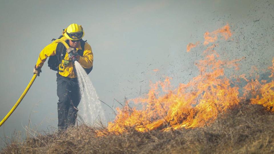
Warmer weather signals the start of wildfire season on California’s Central Coast.
How high is the risk of wildfires in the region?
Using data collected in March 2023 and risk assessments, the Federal Emergency Management Agency has created an interactive map that shows which counties across the United States are the most at risk for wildfires.
FEMA looked at expected annual loss, which calculates the costs of natural disasters, as well as social vulnerability, which determines how social groups will be affected by disasters. The agency also explored community resilience — how well people prepare for natural disasters and how quickly communities bounce back following the event.
The agency used these factors to rate each county’s wildfire risk from very low, relatively low, relatively moderate, relatively high to very high.
Here’s how it rated San Luis Obispo County and its neighbors:
What’s the risk for wildfires in SLO County? On the Central Coast?
According to FEMA’s map, this is the risk of wildfires in San Luis Obispo, Santa Barbara and Monterey counties:
San Luis Obispo County
Wildfire risk: Relatively high
Estimated annual loss due to wildfires: $9.7 million
Frequency: 0.704% chance per year
Historic loss ratio: Relatively low
Santa Barbara County
Wildfire risk: Relatively high
Expected annual loss due to wildfires: $24 million
Frequency: 0.811% chance per year
Historic loss ratio: Relatively moderate
Monterey County
Wildfire risk: Relatively high
Expected annual loss: $7.8 million
Frequency: 0.532% chance per year
Historic loss ratio: Relatively low
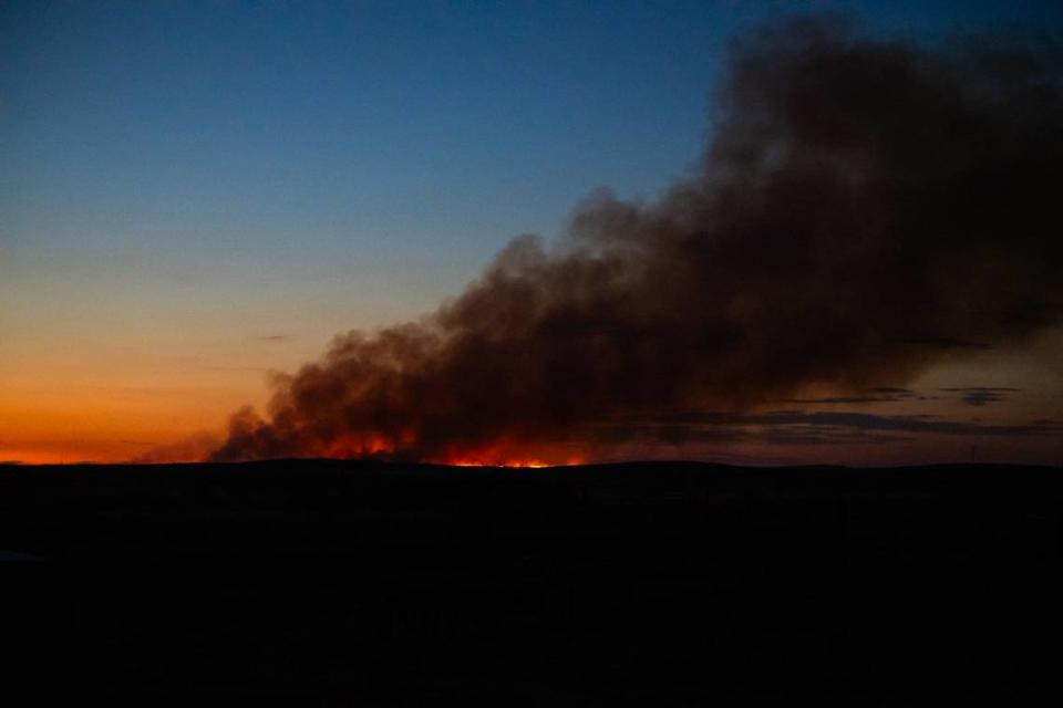
How bad were recent wildfires in the region?
In 2023, a whopping 7,127 wildfires burned a total of 324, 917 acres across California, according to data from the California Department of Forestry and Fire Protection.
In addition, four people lost their lives and 71 structures were either destroyed or damaged.
Significant wildfires on the Central Coast that year included the Plant Fire, which burned 5,464 acres of land in Santa Barbara County, according to Cal Fire.
The Bitter Fire, which sparked southeast of Shandon, scorched 673 acres in San Luis Obispo County, and the Green Fire off Highway 46 burned 243 acres. Meanwhile, the Vineyard Fire east of San Miguel blackened 392 acres in SLO and Monterey counties.
Some of those blazes came close to devastating residential communities — such as the 124-acre Lizzie Fire, which swept up the hillside behind San Luis Obispo High School and forced nearby neighborhoods to evacuate.
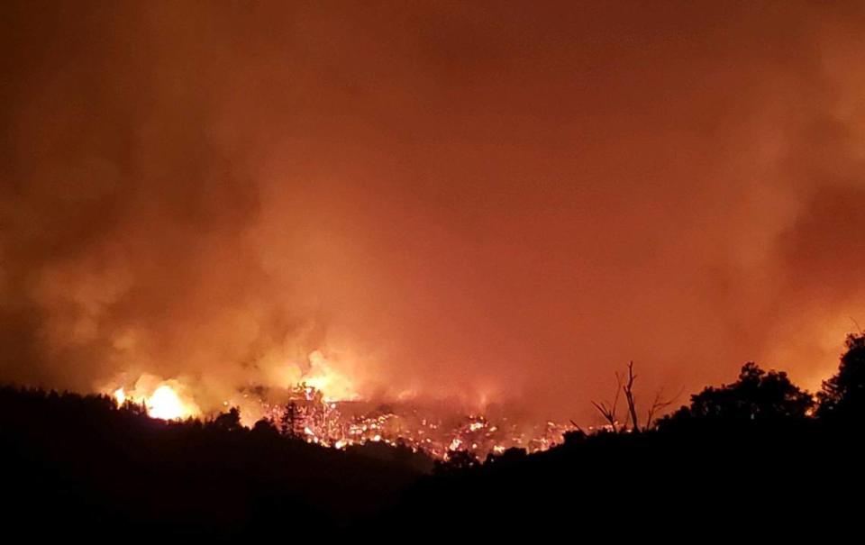
However, 2023’s Central Coast wildfires couldn’t rival recent blazes such as the Dolan Fire, which burned 128,050 acres in Monterey County in 2020, and the Thomas Fire, which burned 281,893 Acres in Santa Barbara and Ventura counties before it was fully contained in early 2018.
As of Monday, California has seen 172 wildland fires so far this year, according to Cal Fire and the U.S. Forestry Service.
That’s compared to a five-year average of 490 wildfires, the agencies said.
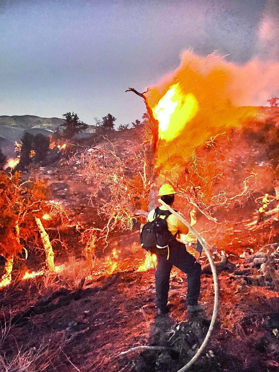
Are wildfires getting worse in California?
While most wildfires occur between April and October, “California faces the risk of wildfires all year now” due to the warmer and drier weather patterns, according to CalMatters.
According to the California Air Resources Board, climate change — primarily caused by burning fossil fuels — is making wildfires worse in California.
“Since 1950, the area burned by California wildfires each year has been increasing, as spring and summer temperatures have warmed and spring snowmelt has occurred earlier,” the board said on its website.
Of the 20 largest fires in California’s history, eight have occurred since 2017, the website said.

