Forgotten no more: Tallahassee author Doug Alderson explores Florida coast
Editor's note: Here is an edited excerpt from the Forgotten Coast portion of "Discovering Florida’s Coast: From the Emerald Northwest to Miami’s Biscayne Jewel and Beyond", a new book by Doug Alderson, published by Pineapple Press. There will be a book release party at 6 p.m. April 6 at Midtown Reader.
The Forgotten Coast has a wealth of history and one seems to run into it at every turn, whether it is meeting one of the coast’s old timers, climbing the reconstructed Cape St. George Light or the original Crooked River Lighthouse near Carrabelle, touching old-growth coastal slash pines on St. George Island that were once “cat-faced” to collect sap for turpentining, or witnessing the many eroding Indian middens on St. Vincent Island that are spilling out into Apalachicola Bay.
And along Highway 98 near Lanark Village, it is easy to envision U.S. soldiers training for amphibious assaults during World War II. Camp Gordon Johnson, located along the mainland side of Apalachicola Bay from 1942 to 1946, trained a quarter of a million men in amphibious operations. Due to bugs and heat, the camp had a nickname for their location that no chamber of commerce representative would dare whisper—“Hell by the Sea.”
“It was a tough place to be, but in retrospect, it was good because it really conditioned us for the battles we fought in New Guinea, the Netherlands and the East Indies,” recalled former camp resident Henry C. Allan in "Tallahassee Magazine." You can learn all about it at the Camp Gordon Johnson Museum in Carrabelle.
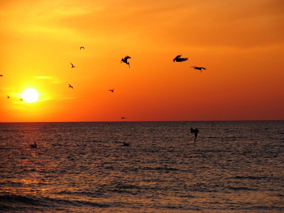
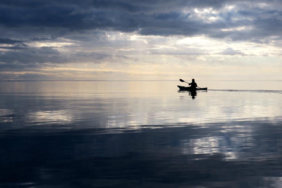
The trademarked name of this coast — Forgotten Coast — is relatively new, coined in the early 1990s by the Apalachicola Bay Chamber of Commerce to attract tourists seeking a quiet retreat. The name proved successful. Visitors are increasingly finding this stretch of shore to their liking. Unspoiled coastal peninsulas, wild barrier islands, dynamic bays and estuaries, and unmarred vistas of salt marsh, tree islands and winding tidal creeks stretch from Mexico Beach to St. Marks, and all invite exploration.
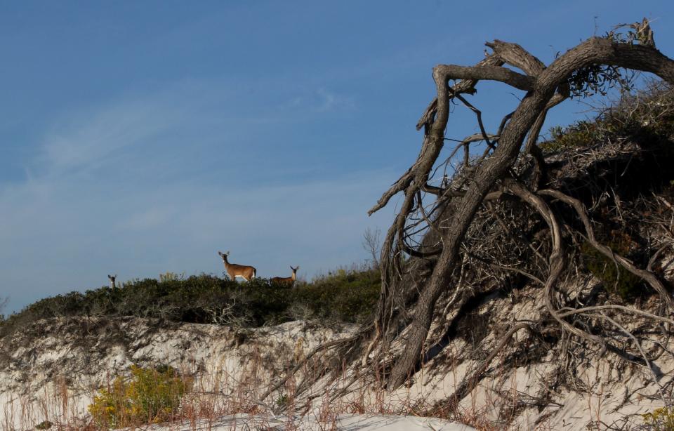
The tall dunes of Cape San Blas in St. Joseph Peninsula State Park make for a fitting bookend on the western end of the Forgotten Coast. The cape is a long thin tail of land, curling around St. Joe Bay and tapering into the Gulf. It is perhaps the wildest peninsula left in Florida, extending over eight miles. The dunes on the Gulf side are up to three stories tall.
When standing on top of one of those high dunes, the peninsula appears to be a still sea of green, gray and white. The interior is made up of tough bonsai-like pines, twisted shrubs and fragrant wild rosemary. The plants stubbornly try to survive against torturing winds, salt and storms, and some don’t make it, especially near the dunes. Over time, the dunes will move and roll like slow moving waves, robbing roots of essential soil, seeming to freeze their dying gasps in mid-air.
Hurricane Michael walloped this section of coast and nearby Mexico Beach in 2018 and the region is slowly recovering. Michael was only a tropical storm when it moved into the Gulf of Mexico’s unseasonably high 84-degree waters on October 7, 2018. But then Michael began to gain strength — a Category 1, then a 2. By the morning of October 11, Michael was a Category 5 hurricane and bearing down with 160 mile-an-hour winds and a 20-foot storm surge. An announcer on the Weather Channel promised a “swamp of destruction.” The storm’s barometric pressure was approaching that of Hurricane Andrew in 1992.
Mexico Beach, Panama City and even inland communities such as Marianna experienced catastrophic devastation. “Everything is just gone!” exclaimed a woman in Mexico Beach.
Nick Hoopell, a Marianna man described the hurricane as a bomb going off. Three trees fell on his house in a ten minute span of time. “We were breaking down,” he said in a Tallahassee Democrat article. “We were crying. I mean no one was prepared for this. We stood in the room. We prayed. Every time you wanted it to stop it would hit harder and harder and harder.”
Hurricane Michael was the worst storm to hit the Florida Panhandle in recorded history, and it closely followed the highly destructive Florence that hit the North Carolina coast the previous month. It goes to reason that if the oceans are still warm by the second hottest September on record, a tropical storm could turn into a hurricane overnight, and ramp up to be a killer.
But the Forgotten Coast and all of Florida’s coast for that matter has seen many hurricanes over time. People rebuild or move inland. Barrier islands shift and slowly regenerate dunes, trees, sea oats and other vegetation. Birds and animals rebound. Peaceful scenes return, the destruction nearly forgotten. The coast is dynamic.
The largest island along the Forgotten Coast is the triangular shaped St. Vincent, completely undeveloped and protected as part of a 12,492-acre national wildlife refuge. Native American names for this large land mass are not known. The current name was given by Franciscan friars in 1633 while visiting Apalachee Indians in the area.
After the Apalachee Indians were dispersed, killed or captured by the English and their Creek allies in 1704, Creek and Seminoles Indians hunted and occasionally occupied the island throughout the latter half of the 1700s and early 1800s. They lost the island in 1811 as part of the Forbes Grant, a land for debt exchange in which the Indians forcibly gave up millions of acres of North Florida. Unlimited credit was alive even then until Indian hunters fell hopelessly behind despite traveling weeks at a time away from their families in search of deer skins, their primary trade commodity.
The Nature Conservancy purchased the island in 1968 for $2.2 million and later sold it to the United States Fish and Wildlife Service for establishment as a wildlife refuge. Primitive weapons hunts of native deer, hogs and the sambar deer occur in fall and winter. The endangered red wolf was reintroduced in 1990 whereupon wolf families freely roam the uninhabited island, the only wild wolf population in Florida.
To the east of St. Vincent, St. George and Dog islands mark the end of a chain of barrier islands that have been formed by sediments deposited by the Apalachicola and Ochlockonee rivers. The numerous wild islands east of Ochlockonee Bay are chunks of land that have been isolated by a millennia of rising sea levels, thus the reason why their shapes are not as elongated. St. George Island State Park and Bald Point State Park are natural highlights.
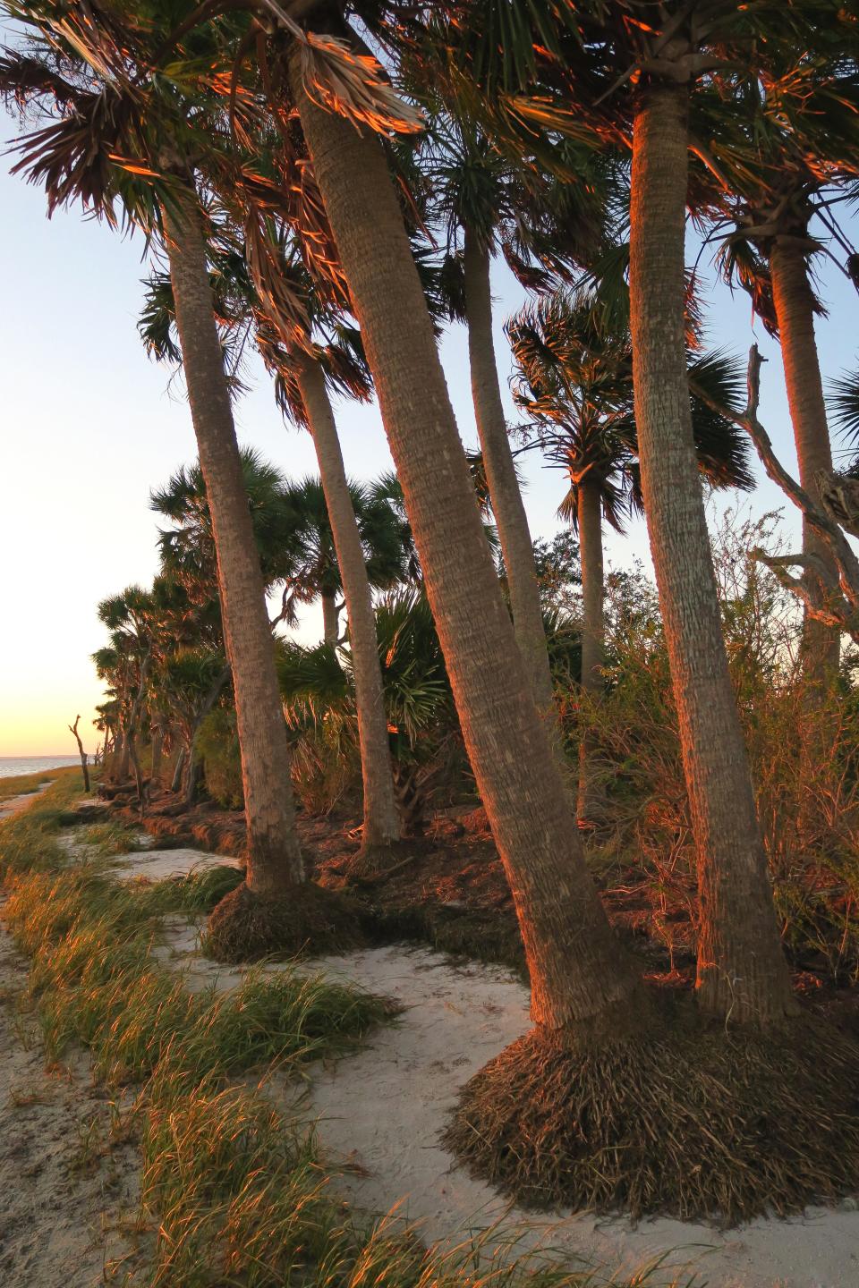
It is along the Forgotten Coast and Nature Coast where sea level rise is most apparent, partly because there are few sea walls or other man-made structures to mask it. Palms, cedars, slash pine and other trees are toppling over or they are standing skeletal and bleached, like erect corpses.
There is very little sign of young trees growing along the coastal fringes, so marsh will likely take over many coastal forests or, increasingly, mangroves will move in from the south, gaining footholds where they never before existed. Shockingly, the change is happening in just a generation or two and it’s not difficult to project how these shorelines might appear in fifty or a hundred years.
The barrier islands of the Forgotten Coast form a border around the massive Apalachicola Bay, the recipient of waters from the Apalachicola River, Florida’s largest in terms of water volume. I once joined a group of high school students in putting out various seine and plankton nets into the bay and was amazed to discover that every ounce of water teemed with life. We found numerous species of fish and thousands of tiny shrimp and zooplankton. This place where fresh and salt water mixed together felt like a living organism, thus one reason it is a massive spawning area for shrimp and many types of fish that are enjoyed in seafood restaurants throughout Florida.
The seafood capital of the Forgotten Coast is the town of Apalachicola and it has also emerged as the cultural anchor. Once a bustling port city where steamships brought in cotton, lumber, turpentine and other products from upriver communities, the town is now a center for both seafood harvesting and distribution and businesses that cater primarily to tourists and seasonal residents.
Besides shopping and eating fresh seafood, one can stroll through downtown Apalachicola where many pre-Civil War homes and buildings still stand, including the red brick structure where the Apalachicola Sponge Exchange once thrived in the late 1800s and early 1900s. One visitor commented that several buildings could easily grace the cover of a Faulkner novel. And with the town’s stately live oaks and grand vistas of water and marsh, Apalachicola’s culture is also intertwined with natural beauty, much like the rest of the Forgotten Coast.
If you go
What: Book release party for "Discovering Florida's Coast," $24.95 paperback
When: 7 p.m. Thursday, April 6
Where: Midtown Reader, 1123 Thomasville Road; visit midtownreader.com
This article originally appeared on Tallahassee Democrat: Tallahassee author Doug Alderson explores Florida coast in new book

