Forecasters watch front in Gulf of Mexico with 70% chance of developing into named storm

With hurricane season officially starting June 1, the National Weather Service has been monitoring Invest 91L, which was in the Gulf of Mexico Thursday afternoon; forecasters gave it a 70% chance of developing into a tropical cyclone, up from 20% a day earlier.
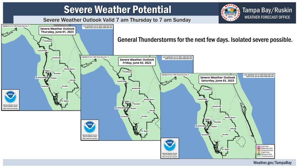
“It’s just kind of meandering out into the gulf so for today and tomorrow (Friday) we can expect something similar to what we saw yesterday – which is when we head into the afternoon and evening hours, scattered to numerous showers and thunderstorms at just about any time,’ said Nicole Carlisle, a forecaster with the National Weather Service in Ruskin.
Related: Invest 91L better organized and could become short-lived tropical depression or storm
Heavy rain chances will continue into the weekend as the summertime weather pattern kicks in, Carlisle said, though while the chances Thursday are between 60% and 70%, those should drop to 30% to 40% for the weekend.
Rainfall is expected to be in the range of 2 to 4 inches, with up to 6 inches in isolated areas, she added.
Here’s what you need to know about the upcoming weekend weather pattern:
Hurricane season underway
The Atlantic hurricane season officially runs from June 1 through Nov. 30. The National Hurricane Center predicts a near normal hurricane season, with 12 to 17 named storms, 5 to 9 hurricanes and 1 to 4 major hurricanes.
Invest 91L has a 70% chance of developing into a short-lived tropical depression or tropical storm. If it does develop, it would be named Arlene.
Expect heavy rains
During a 10 a.m. weather briefing, forecaster Jennifer Hubbard stressed that whether Invest 91L develops into a tropical cyclone or not, the front will produce heavy rainfall.
‘It’s got a high amount of uncertainty over how it’s going to be moving the next couple of days,” Hubbard said. “For the most part, expect it to be a lot of rain.”
There is a marginal risk of excessive heavy rainfall through early Saturday, with some street flooding possible during the heavier storms.
Decreased drought
Recent rainfall has decreased the drought conditions for Levy County south to Manatee and Sarasota counties from extreme drought to Severe (D2) Drought conditions, which carries with it a risk of crop and pasture loss and high fire danger.
Drier air on the horizon
The Sunday and Monday forecasts calf for sunny skies in the morning and isolated thunderstorms in the afternoon and evening.
Drier air is expected early nex with with the wind coming from an east by northeast flow.
This article originally appeared on Sarasota Herald-Tribune: Forecasters track front in Gulf with 70% chance of cyclone development

