FBI analysis details final hours of family who died on remote Northern California trail
It was high summer, and temperatures were climbing swiftly on a remote trail in the Sierra Nevada near the small community of Mariposa.
Jonathan Gerrish and his wife, Ellen Chung, knew they were in trouble.
Out of water, exposed and overheating, they had to ascend the rugged and steep Savage Lundy Trail to return to their vehicle at the Hite Cove trailhead. Their 1-year-old daughter, Aurelia "Miju" Chung-Gerrish, and dog, Oski, were with them.
Gerrish took out his cellphone and typed a message.
11:56 a.m. Aug. 15: "[Name redacted] can you help us. On savage lundy trail heading back to Hites cove trail. No water [over] heating with baby."
The plea never went through, stymied by the lack of cellular reception in the area.
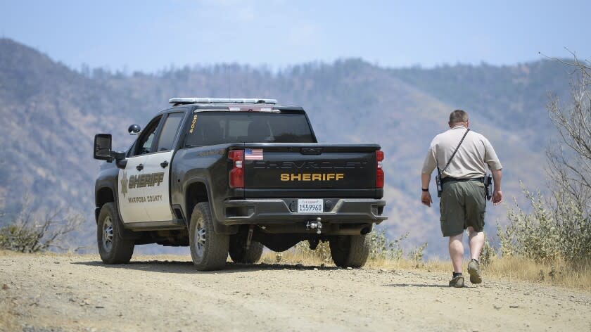
Gerrish's attempted message was among several key pieces of new information released Thursday by the Mariposa County Sheriff's Office that shed further light on the family's final hours.
In October, Sheriff Jeremy Briese revealed that an investigation found the family and their dog had died of heat-related illness and probable dehydration.
In the two months that passed before the sheriff's announcement, theories abounded over the family's deaths.
Physical force and violence were quickly ruled out, as was toxic gas from an abandoned mine shaft. Lightning strikes were eliminated, and investigators considered suicide and drug or alcohol use before moving on.
Some wondered whether water tainted by a toxic algae bloom in the Merced River, which runs along a portion of the trail, caused their deaths. Toxicology and other tests eventually ruled that out as well.
In his October announcement, Briese said he hoped FBI analysts could glean more information from Gerrish's phone.
Almost four months later, those answers are in.
Data extracted from the phone allowed investigators to re-create the family's path and timeline based on GPS locations, the Sheriff's Office said. Those details "support the findings of a heat related incident."
Gerrish and Chung took multiple photos throughout the hike, deputies said.
At 7:44 a.m. Aug. 14, the couple took a photo and video a few yards from the trailhead. A photo of the trail followed at 8 a.m., and investigators found a photo of the Merced River taken at 9:05 a.m.
Authorities found eight photos of the river and of the couple taken from 9:35 to 9:39 a.m. At 10 a.m. and 10:16 a.m., they took two "selfie-style" family photos. Two photos of a creek or river were taken at 10:29 a.m.
The final image stored on the phone came at 12:25 p.m. — a screenshot of their location from a smartphone trail application.
Authorities also found a series of five attempted phone calls, not including to 911, made between 12:09 and 12:36 p.m. As with the attempted text message, none of the calls went through.
"The cellphone data results were the last thing both the family and detectives were waiting on," Briese said. "The extracted information confirms our initial findings. I am very proud of my team and our partner agencies for all the work they put in. Their dedication has allowed us to close this case and answer lingering questions the family had, bringing them a little peace."
Gerrish and Chung were experienced hikers who had recently moved to Mariposa from San Francisco after falling in love with the area.
On Aug. 15, the family got off to an early start. Their vehicle was spotted around 7:45 a.m. headed toward the Hite Cove trailhead, elevation 3,800 feet.
It was 75 degrees when they began the hike around 8 a.m., but temperatures climbed swiftly as they descended.
They'd gone about 4.1 miles, losing roughly 2,000 feet of elevation, by the time they met the Savage Lundy Trail — their route back to their vehicle.
It was now 100 degrees and climbing.
Savage Lundy, though short, is known to be challenging. Its south-southeast orientation exposes it to constant sunlight, and the 2018 Ferguson fire left little vegetation capable of producing shade, Briese said.
Temperatures reached as high as 109 by midafternoon. At some point, the extreme heat and the steep climb became too much.
The next day, Aug. 16, the family’s babysitter arrived, but no one was home, Briese said. Friends were unable to reach Gerrish or Chung and reported the family missing at 11 p.m.
Shortly before 2 a.m. the next day, a sheriff’s deputy spotted the family’s vehicle at the trailhead.
The bodies of Gerrish, Chung, Miju and Oski were found 7 ½ hours later, just 1.6 miles from their car.
This story originally appeared in Los Angeles Times.

