We are dry this morning but a cold front brings rain to the afternoon
AVERAGE HIGH FOR APRIL 30th: 66°
AVERAGE LOW FOR APRIL 30th: 39°
TUESDAY’S SUNRISE: 6:04 AM
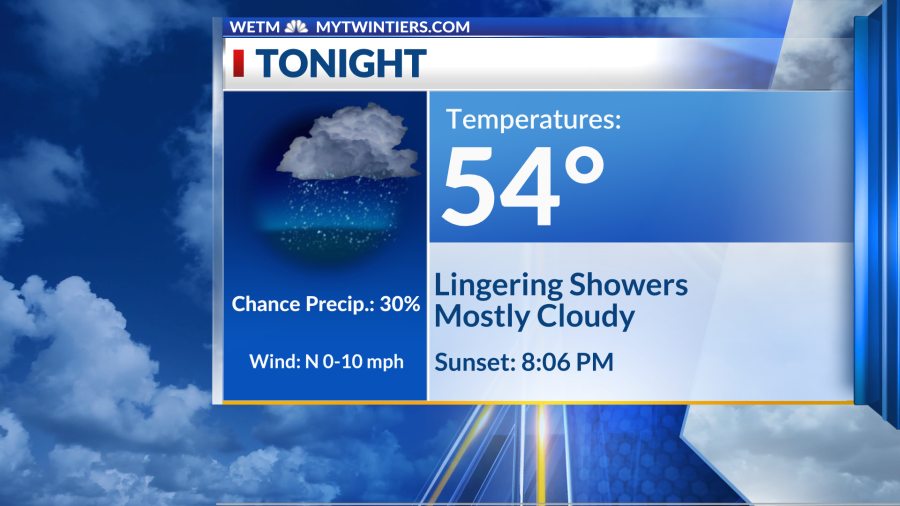
TUESDAY’S SUNSET: 8:06 PM
Elmira, N.Y. (WETM)- A cold front sweeps through the region today and brings a round of widespread rain and isolated thunderstorms. When do we return to sunshine? Details below:
TODAY:
Most of the morning should remain dry, at most a spotty shower ahead of the front. However, by the afternoon, widespread rain moves in with the chance for a few thunderstorms and locally heavy downpours. Temperatures today are back in the upper 70s near 80.

TONIGHT:
Showers should gradually move out of the region this evening, and we’ll dry off late tonight and overnight ahead of a partly cloudy Wednesday morning. Lows tonight are in the mid-50s.
REST OF THE WEEK:
Our midweek is quiet with upper-level ridging in place. We’ll be partly cloudy tomorrow with a stray sprinkle possible. Even more sunshine is expected on Thursday and dry conditions linger into Friday before weekend rainfall.
TUESDAY: SHOWERS/STORMS
HIGH: 79 LOW: 54
WEDNESDAY: PARTLY CLOUDY
HIGH: 77 LOW: 53
THURSDAY: MOSTLY SUNNY
HIGH: 77 LOW: 48
FRIDAY: MOSTLY CLOUDY
HIGH: 80 LOW: 53
SATURDAY: CHANCE SHOWERS
HIGH: 69 LOW: 50
SUNDAY: MOSTLY CLOUDY
HIGH: 69 LOW: 50
MONDAY: PARTLY CLOUDY
HIGH: 74
Meteorologist Alivia Colón: Facebook I Twitter I Instagram
Meteorologist Anthony Codispoti: Facebook I Twitter
Have a wonderful day!
For the latest news, weather, sports, and streaming video, head to WETM - MyTwinTiers.com.

