How did Rhode Island get its border? It's a story with hundreds of years of bickering
Twenty years ago, the smallest state was at risk of becoming a little smaller.
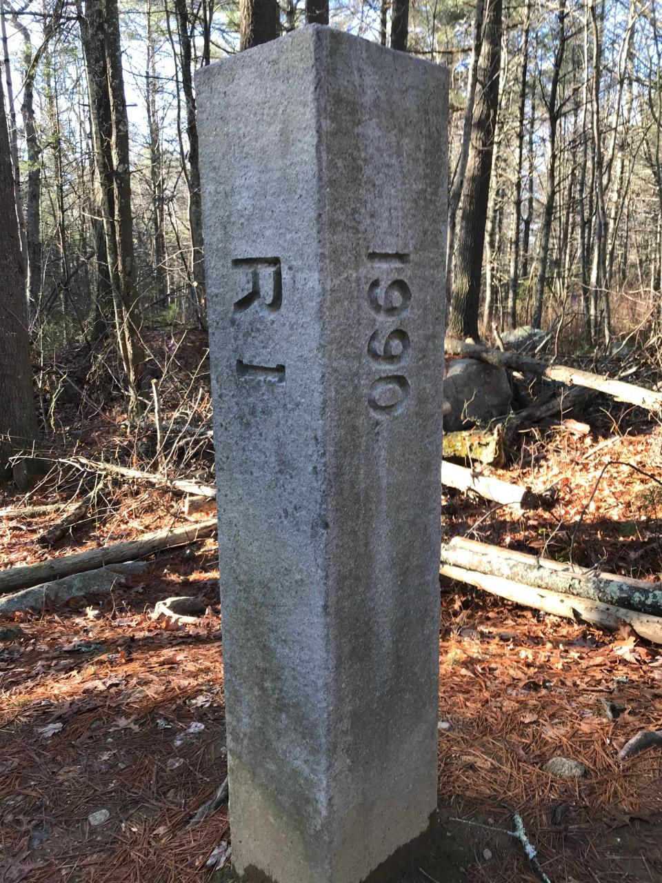
A new, high-tech survey of the border by North Stonington found that the 19th-century surveys of the border were just ever so slightly off. About 22 acres of what had always been known as Hopkinton was, per their new survey, part of North Stonington.
The Connecticut town sent tax bills appropriate to their new survey, and 22 acres worth of chaos broke out.
“It generated a lot of concern,” said state Rep. Brian Patrick Kennedy, who still represents the area today. Particularly for his kindergarten bus driver Iva, who was in danger of being a Connecticut resident.
“She said to me, over my dead body will I ever live in Connecticut,” he said. “Iva passed away while all this was going on and she was buried in the backyard of her house, where her husband was also buried. I talked with her daughter, Cindy, and I said, 'Well, should this line ever change, it will be over your mom’s dead body.'”
To mark the 20th anniversary of the little border dispute, The Providence Journal is looking at how Rhode Island’s boundary came to be.
What were the original borders of Rhode Island?
It was the year after Roger Williams first settled Providence in 1636 that the land was deeded over to him. That deed outlined the first boundary as “from the rivers and fields of Pawtucket, the great hill of Neutaconkanut on the north-west and the town of Mashapaug on the west, reaching to Pawtuxet River, as also the grass and meadows upon Pawtuxet River,” according to the 1936 pamphlet Rhode Island Boundaries that the Rhode Island Historical Society recommended for this story.
As new settlements cropped up throughout the region, a new charter was issued in 1643 by the Earl of Warwick, uniting Providence, Portsmouth, Newport and Shawomet (now Warwick) as the Colony of Providence Plantations in Narragansett Bay.
By this charter, the new colony’s boundaries were "northward and north-east by the patent of the Massachusetts, east and south-east on Plymouth patent, south on the ocean, and on the west and north-west by the Indians called Narragansetts; the whole tract extending about twenty-five English miles into the Pequot River and country.”
Twenty years later, King Charles II issued a new charter that was a bit sloppy around the edges, overlapping with parts of Plymouth Colony and Connecticut. This “caused disputes which continued for many years before adjustments were finally made,” Rhode Island Boundaries reads.
In the disputed areas are Cumberland, Barrington, Warren, Bristol, Tiverton and Little Compton when it comes to Massachusetts and a strip of land along the Pawcatuck River when it comes to Connecticut.
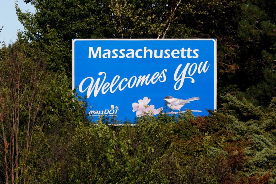
How was the Rhode Island-Massachusetts border established?
After well over 70 years of disputes about the Massachusetts border, in 1741 the Royal Commissioners finally brought the border to the top of their to-do list. It took another five years to get the King to sign off on it.
In 1746 though, a new border was finally confirmed and Massachusetts ceded the five disputed towns to Rhode Island.
However, there was still one outstanding border dispute between the two states.
There was a portion of Fall River – the South End, from roughly Columbia Street to what is now State Avenue – that became part of Rhode Island in the 1746 redraw.
For 200 years, Massachusetts held a grudge about this bit of land and wanted it back. The complaint hinged on how it was measured. The border was meant to be 440 rods – yes, it’s a literal rod 16.5 feet in length – south from the mouth of the Fall River. These rods were supposed to be laid in a straight line, but the surveyor instead measured through bends in the shoreline, shorting Massachusetts on land.
They fumed about it for so long that eventually, it went to courts.
“There were Rhode Island and Fall River commissions in the 1840s that were at odds resulting in an appeal, which was ultimately taken up by the United States Supreme Court which in 1860 appointed engineers to measure and mark a true boundary,” Bridgewater State University professor emeritus Dr. Phillip Silvia told our sister paper The Herald News in 2019. “The Supreme Court then issued a decree that took effect in March 1862. This decision was favorable to Massachusetts which gained eleven square miles, most of which extended Fall River, MA southward to the present boundary with RI.”
In exchange for this, Rhode Island was granted the westerly portion of Seekonk, which went to East Providence, and the town of Pawtucket, according to Rhode Island boundaries.
How was the Rhode Island-Connecticut border established?
Getting back to Connecticut, that strip of land along the Pawcatuck River was the subject of quarreling for years.
“In the late 17th century, the rival colonies provided refuge for each other's criminals and often imprisoned each other's constables while claiming ownership of the territory between the Mystic and Pawcatuck Rivers – land that had been granted in both charters,” a 1997 New York Times article about the border said. “By 1720, news of the agitation reached the ears of King George I, who threatened to revoke the charters and cede both colonies to New Hampshire before he ultimately decided in favor of Connecticut.”
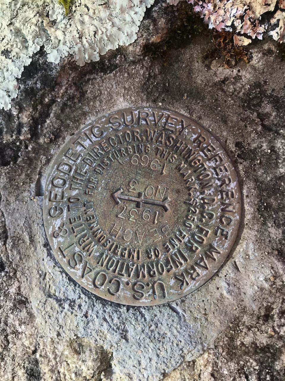
In 1728, the border was written in stone – as is customary – with heaps of stone put along the new border. The border was “set at the south-west corner of the Warwick purchase (now Coventry), twenty miles due west from Warwick Neck; from that bound a line was carried north, seven degrees east, twenty-three miles and ten rods to the Massachusetts south line, and another line was carried south, eleven degrees twenty minutes west, fifteen miles and ninety rods into the mouth of Ashaway River where it falls into Pawcatuck River,” per Rhode Island boundaries.
This was reaffirmed by an 1840 survey between the states.
By the time the New York Times ran their article in 1997 though, it was clear – once again – that rods were a pretty good way of measuring borders, but not precise. Some of those rock piles were off by as much as 50 or 60 feet.
Which isn’t a lot until your house is in that 50 or 60 feet, and you no longer know if you’re a Rhode Islander or a Nutmegger.
At that point, it was generally agreed to go with the old stone border, but that was called into question once again when North Stonington started sending out those tax bills. Something more official had to be done.
Border commissions were created, according to Kennedy, and the thought was to keep the border set in stone, not the ones created by writing.
“The Rhode Island Attorney General reached out (to Connecticut) and said, look, we should basically just memorialize the border as we know it,” Kennedy recalled. “People made a decision long ago which state they wanted to live in, which state they wanted to pay their taxes in, and someone should not unilaterally be changing the boundary line.”
Many meetings later, an agreement was drawn up ceding the border to Rhode Island. The two states called for a final meeting to sign the document.
What's in a name: How did Rumstick Neck in Barrington get its name? Why there's a couple of possibilities.
“We were all ready to approve it. There had been an agreement draft up that we’re going to sign,” Kennedy said. “And on that day, Connecticut balked and said we’re not going to sign it... The boundary commission disbanded, nothing changed.”
A survey was done to establish the line, and the two state’s attorney generals agreed to honor the border as it was, according to Kennedy. No rogue tax bills have been sent out since.
“But as I mentioned, my kindergarten bus driver ... she’s in that little limbo, if North Stonington should ever try to change it again,” Kennedy said. “If they did, we would have to resurrect the Boundary Line Commission again, but as of right now, I don’t see it happening.”
This article originally appeared on The Providence Journal: How did RI get its border? Hundreds of years of bickering play a role

