Did we get the biggest snow storm of the winter?
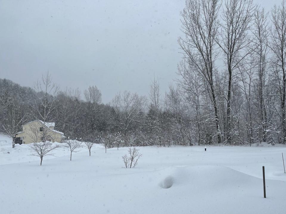
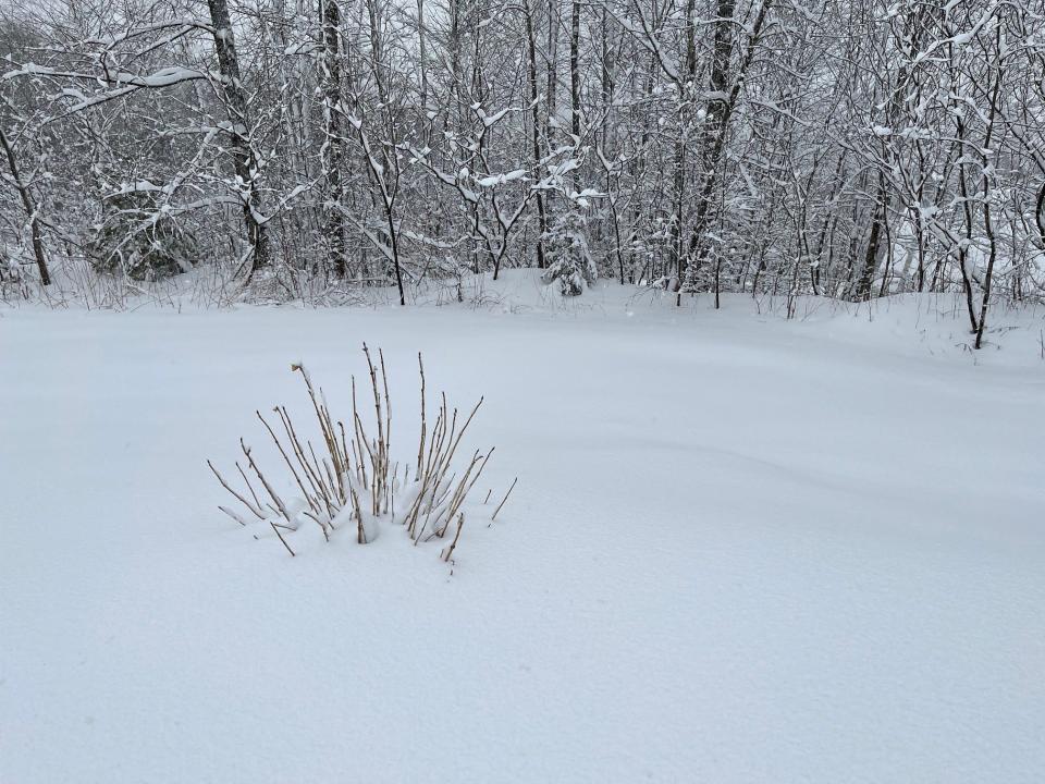
Vermont is getting a second helping of a Pi Day snowstorm, Burlington meteorologist Marvin Boyd said Wednesday, with the biggest snowfall of the 2022-2023 winter piling up 8-12 inches of snow in the Champlain Valley.
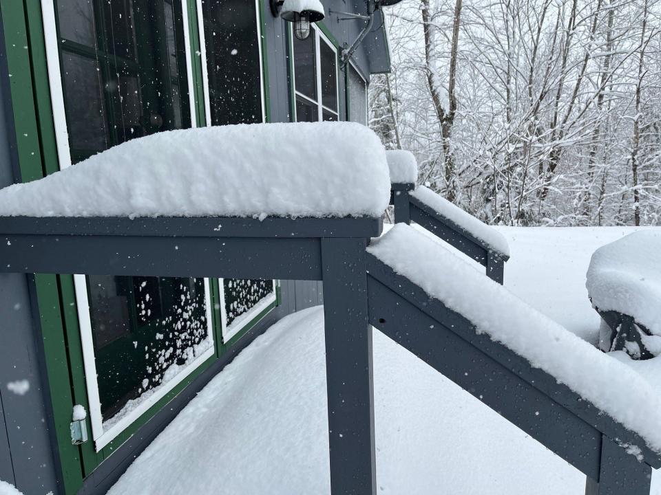
Boyd said almost six inches of snow fell in two hours on Tuesday when a snow band formed over his home in Williston near Lake Iroquois.
"A snow band is a localized incident that sits over places and just dumps," he said. "It's hard to tell how long they're going to be there."
More:Ready for spring or can't get enough powder? Burlington's biggest March snowstorms ever.
Pi Day refers to the correspondence between Tuesday's date − 3/14 − and the number pi, 3.14. The last Pi Day storm in 2017 dumped two to three feet of snow across northern Vermont, Boyd said.
"It was a substantial storm," he said. "It happens in return intervals two to three times a decade. Something this sizable with enough frequency, people tend to remember."
Boyd added that this year's Pi Day storm concentrated snowfall over population centers.
"It snowed harder where the people are," Boyd said. "When it snows heavier where the people are, people notice."
Snowfall town by town in Chittenden County
Boyd was still collecting snow totals for individual towns in Chittenden County on Wednesday afternoon, but had the following totals to report:
Burlington − 10.8 inches.
Colchester − 10.8 inches.
Essex Center − 10.8 inches.
Williston − 13.5 inches.
Hinesburg − 16.5 inches.
Huntington at 1,300 feet elevation − 24 inches.
South Burlington − 11 inches.
Underhill − 14.8 inches.
Westford − 11.1 inches.
Williston − 13.5 inches.
Thousands of outages, mostly in southern Vermont
The heavy wet snow was a big challenge for the state's utilities, especially in southern Vermont, where nearly 23,000 customers in Windham, Windsor and Bennington counties still didn't have power, according to VTOutages.
Green Mountain Power said it was expanding its field force "even further" on Wednesday after restoring power to more than 59,000 customers since the storm began on Tuesday. The state's largest utility said it still had 24,000 customers "left to go" for restoring power.
"We had already brought in external crews to work alongside ours before the storm hit, and now, we are enhancing our field team even further as other states less hard hit release their crews for mutual aid to Vermont," Mike Burke, GMP's vice president of field operations, said in a statement.
Snowfallwinds down
While the Champlain Valley received 8-12 inches of snow, parts of southern Vermont were buried in multiple feet of snow, according to Boyd. Danby, for example, got 26 inches of snow. Across the lake, in Moriah, New York, three feet of snow fell.
"Even down at lake level, Crown Point got 22 inches (of snow)," Boyd said.
The storm was a nor'easter, which forms off the coast in the Atlantic Ocean and then wraps back northwest into New England.
"They are slower moving, or stationary, and are very efficient at pulling moisture off the Atlantic," Boyd said of nor'easters.
The Pi Day storm tapered down on Wednesday, according to Boyd, and conditions would improve rapidly after 2 p.m., when the low pressure powering the storm is expected to pull eastward.
"It's winding down today," Boyd said. "We do have another quick-moving storm for Friday coming through. Temperatures will be warming into the upper 30s tomorrow and the low 40s for Friday and Saturday."
Unfortunately, those warmer temperatures will bring about a quarter-inch of rain along with them, according to Boyd.
Contact Dan D’Ambrosio at 660-1841 or ddambrosio@freepressmedia.com. Follow him on Twitter @DanDambrosioVT. This coverage is only possible with support from our readers.
This article originally appeared on Burlington Free Press: Snow totals are piling up in Chittenden County and southern Vermont

