California's colossal snowpack has yet to melt: 'Less and less places for that water to go'
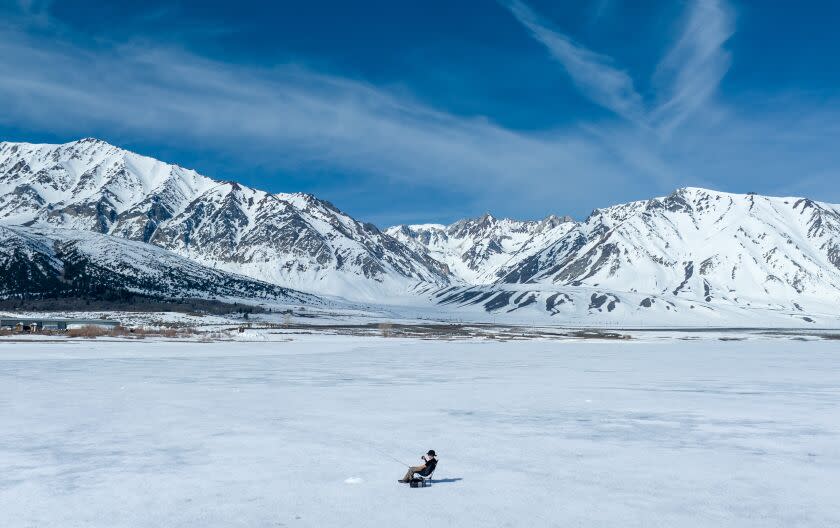
California's remarkably wet winter may be several weeks behind us, but flooding remains a significant threat as the majority of the state's massive snowpack has yet to melt, and more snow is forecast for this week.
"This melt really is still just getting started," said Daniel Swain, a climate scientist with UCLA. "I know that's hard to believe, but we're getting into May and the peak is probably yet to come."
A Department of Water Resources crew conducted its fifth snow survey of the year Monday and determined that statewide snowpack was 254% of normal for the date, with the equivalent of 49.2 inches of water contained in the snow.
#CA’s current #snowpack is still among the highest on record even though the spring snowmelt has begun. The last time there was snow to measure in May at the Phillips Station snow course was in 2020 & then only 1.5 inches of snow was measured w/ just half an inch of water content pic.twitter.com/RnUjwZVOxD
— CA - DWR (@CA_DWR) May 1, 2023
The survey, conducted at Phillips Station near south Lake Tahoe, marked the first time there was measurable snow on May 1 at Phillips Station since 2020. That year, there was only 1.5 inches of snow on the ground, with a snow water equivalent of 0.5 inches.
"No matter how you look at the data, only a handful of years in the historical record compare to this year’s results," said Sean de Guzman, DWR's manager of snow surveys. Last month, 2023 joined 1952, 1969 and 1983 as the only years with snowpack above 200% on April 1, the date when it is typically at its deepest.
Snowpack in the southern Sierra Nevada remains even higher, measuring 326% of average on Monday, with 51.2 inches of snow water equivalent.
Read more: California’s snowpack is among the deepest ever. Now get ready for the perilous 'big melt'
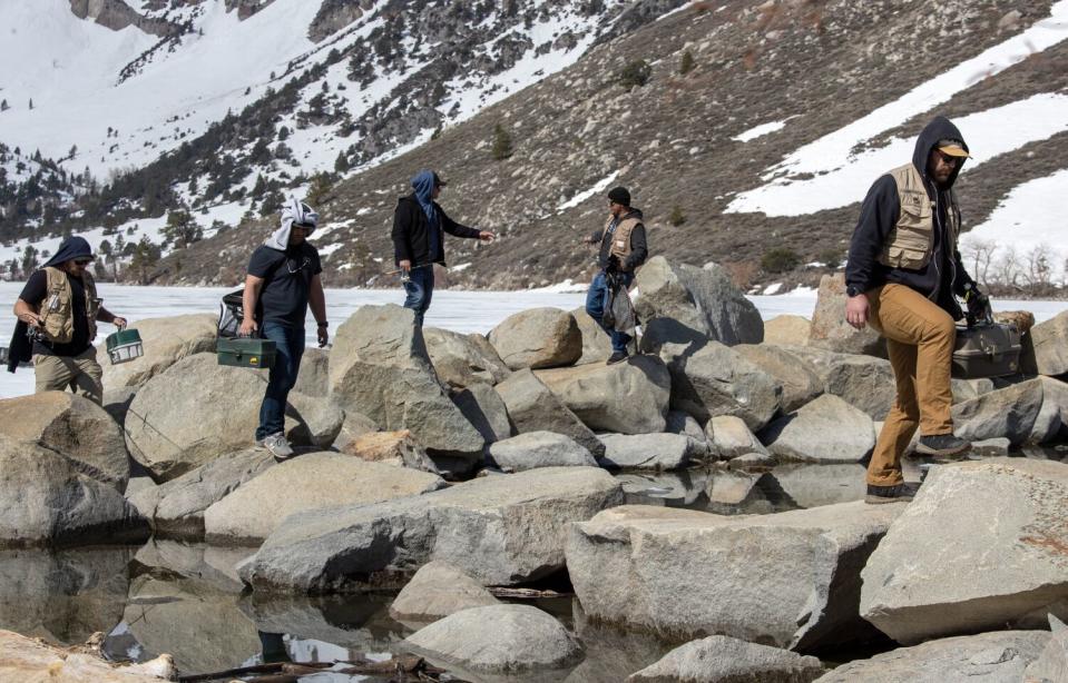
The bounty has eased searing drought conditions and provided a significant boost to California's water supplies, but officials continued to underscore the flood risk in the San Joaquin Valley, which sits like a bowl at the base of the southern Sierra and has already experienced major inundations this year.
In fact, despite a major warm-up at the end of the month, temperatures in April were generally cooler than average, and only about 12 inches of the snow water equivalent melted regionally and statewide. That's left most of it poised to flow downhill through the summer.
"The significant majority of what was up there at its peak is still there, even as we head into May, even in the wake of major heat waves," Swain said.
A region of particular concern is the Tulare Lake Basin, where a series of atmospheric rivers have refilled once-dry Tulare Lake. Gov. Gavin Newsom, who visited the area last week amid a backdrop of stagnant water and flooded farms, said runoff could continue to flow into the area for the next 16 weeks.
Inflows into the basin will likely peak around late May or early June, Swain said. An incoming cold storm, which is expected to deliver more rain and snow to the southern Sierra and surrounding foothills this week, may only serve to delay the peak of the melt further into summer.
In parts of the Tulare and San Joaquin basins, "things will get worse still before they get better," he said.
Read more: A race against time in California town: Floodwaters rising, snow melting, worst still to come
Indeed, officials with the DWR and other agencies are continuing to prepare for runoff and flooding. The joint state-federal Flood Operations Center has provided more than 1.4 million sandbags, 1 million square feet of plastic sheeting and 9,000 feet of "muscle wall" barriers across the state since January and is ready to deploy more resources as needed, officials said.
The U.S. Army Corps of Engineers — which owns and operates the Tulare basin's four major dams at Lake Success, Lake Isabella, Pine Flat and Lake Kaweah — is also releasing water to ensure there is room to absorb runoff from the snow. The reservoirs are at 74%, 62%, 43% and 22% capacity, respectively.
However, state and federal officials are asking for continued vigilance as runoff forecasts remain high. Inflows in the Tulare Lake area range from 269% to 443% of average through July, state data show.
"The snowpack will not disappear in one week or one month but will lead to sustained high flows across the San Joaquin and Tulare Basins over the next several months, and this data will help us inform water managers and ultimately help protect communities in these regions," DWR director Karla Nemeth said in a statement following Monday's snow survey.
Swain similarly said that much of the threat may come from cumulative high flows — as opposed to individual bursts of extreme flows — which can contribute to escalating problems in the San Joaquin Valley.
"Things are getting more and more saturated and there's less and less places for that water to go in the Tulare Lake Basin and surrounding areas," he said.
Read more: Fears grow as floodwaters threaten to drown this California city and prison complex
Despite the flood risk, the remarkable snowpack has been a boon for water supplies and drought conditions in California. Less than 8% of the state is now classified as being in drought, according to the U.S. Drought Monitor. Just three months ago, 90% of the state was in drought, and about 10% was abnormally dry.
What's more, the DWR last month announced that for the first time since 2006, it will allocate 100% of requested supplies from the State Water Project — a system of canals, reservoirs and dams that supplies water to 29 agencies and about 27 million Californians. Last year's allocation was just 5%.
The U.S. Bureau of Reclamation, which provides critical farming irrigation and water supplies in the state, also announced a 100% allocation for most regions.
With more rain and snow on the horizon, there remains a degree of uncertainty about the precise timing and location of snowmelt and flooding this season. Forecasts for significant flooding along the Merced River inside Yosemite National Park largely failed to manifest this weekend, and park officials reopened the area early.
And while some have already taken rafts to the state's high, fast, rivers, officials have asked residents to continue to exercise caution, including leaving sandbags and other flood-fighting items in place in the Tulare Lake area.
Snowmelt-driven high flows in rivers could occur "well into July" in some watersheds, especially in the southern Sierra, DWR officials wrote in a post about the snow survey on Facebook.
"It is crucial that Californians continue paying attention to their local county emergency officials and warnings in the coming months as snowmelt-driven flood concerns this year will be a marathon, not a sprint," the agency said.
This story originally appeared in Los Angeles Times.

