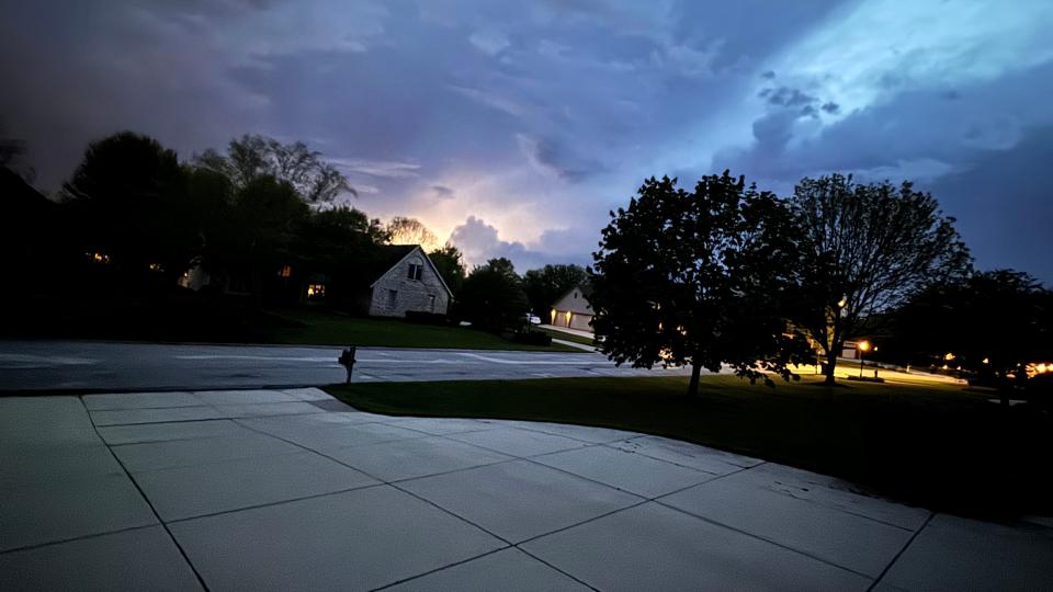
Despite evening warning, there was no tornado in southeastern Wisconsin yesterday, NWS says
A tornado warning was issued Thursday evening in southern Milwaukee County, including parts of Milwaukee, Oak Creek, South Milwaukee, Cudahy and Franklin.
Sirens sounded around 5:25 p.m. after radar indicated a strong rotational signal. The environment was conducive to potential tornado developments, local National Weather Service meteorologist Andy Boxell said. The warning expired Thursday at 5:45 p.m.
Although some areas received "penny-sized" hail, NWS does not believe a tornado touched down anywhere in southeastern Wisconsin yesterday. No significant wind or storm damage has been reported.
"We can pretty safely say there was not (a tornado)," Boxell said. "With that being such a highly populated area, had there been some sort of damage, I'm very confident we would have heard about it by now."
A large wall cloud was spotted during the storm. According to the NOAA National Severe Storms Laboratory, a wall cloud is an isolated cloud lowering attached to the rain-free base of a thunderstorm. Wall clouds can rotate, have strong winds flowing into them and may have rapid vertical motion indicated by small cloud elements quickly rising into the rain-free base. Wall clouds can be an indicator of a tornado, NWS says.
Awesome shot of the tornado warned cell from viewer Shawn K. Shot off of Ryan Rd. in Oak Creek looking northwest. @fox6now @NWSMilwaukee pic.twitter.com/PeZ4kLt6bx
— Stephanie Barichello (@s_barichello) May 16, 2024
The rotation detected yesterday may have spun up due to the storm crossing the lake breeze over Lake Michigan.
"Sometimes that can be just enough to cause an increase in rotation and then we can see a brief spin up. And so as it crossed lake breeze we did see rotation tighten up, and that was enough to pull the trigger on a tornado warning," NWS meteorologist Denny VanCleve said.
Are tornados rarer near the lake?
While the cold water and cool air over a lake can provide a locally stable environment, it's a myth that tornados can't spin up near a lake, NWS says. Tornados are no more or less common by the lake, said NWS meteorologist Nate Falkinham.
"Typical lake breezes found along the Lake Michigan shore are often shallow and only affect a small portion of the lower atmosphere," the weather service explains. "Warm and unstable air above this marine layer/lake breeze could very well sustain a thunderstorm's strength. For example, on March 8, 2000, Milwaukee County experienced its earliest tornado on record at a time when Lake Michigan is climatologically coldest."
What is the difference between a tornado watch and a tornado warning?
Tornado watch: A tornado watch defines an area where tornadoes and other kinds of severe weather are possible. A tornado watch does not mean tornadoes are imminent, just that everyone should be alert and prepared to go to safe shelter if tornadoes occur.
Tornado warning: A tornado warning means that a tornado has been spotted, or that Doppler radar has detected a thunderstorm capable of producing a tornado. When a tornado warning is issued for your town or county, take immediate safety precautions.
Wisconsin weather radar
Wisconsin weather warnings
This article originally appeared on Milwaukee Journal Sentinel: No tornados touched down near Milwaukee yesterday, despite warning

