What current snowpack levels might tell us about southern Colorado's 2024 wildfire risk
As green grass grows and flowers begin to bloom this spring, the warmer weather also means that the snowpack accumulated in nearby mountains is starting to melt.
How that snow melts can affect wildfire risk and the overall health of the ecosystem.
Here’s what we know about current snowpack levels and how the El Niño weather pattern has affected southern Colorado in recent months.
What are the current snowpack levels in the Arkansas River basin?
The snow water equivalent in the Arkansas River Basin is 101% of 30-year averages as of April 15, according to the United States Department of Agriculture.
Most other river basins in Colorado are also faring well, with an average snow water equivalent of around 100%.
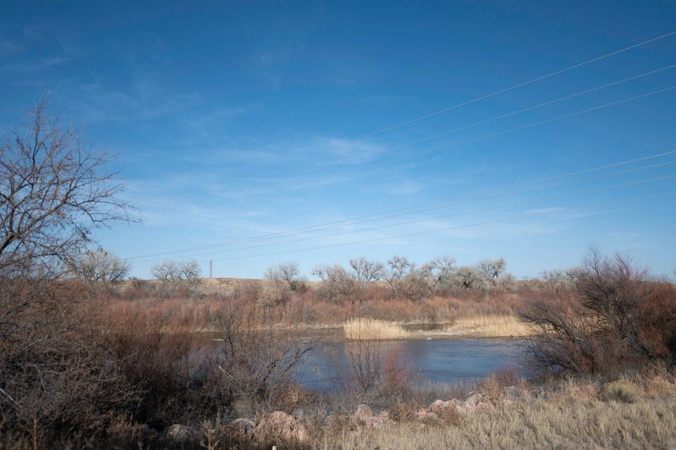
In the Arkansas River basin, the median snowpack level peaked on April 3.
How snowpack affects fire risk
The rate of snowpack melting can affect extreme wildfire risk in mountain forests, said Becky Bollinger, the assistant state climatologist for Colorado. If the snow melts too quickly, then forests are more vulnerable to dry conditions.
“We've got wildfires that happen in our state: that's pretty normal and natural. But when you melt out that snowpack earlier and you dry out earlier, you have more hot, dry weather and a longer window of time before the monsoon season picks up,” Bollinger explained. “You're extending that window of time where you can have wildfires and the drier vegetation can be more susceptible to uncontrollable fires.”
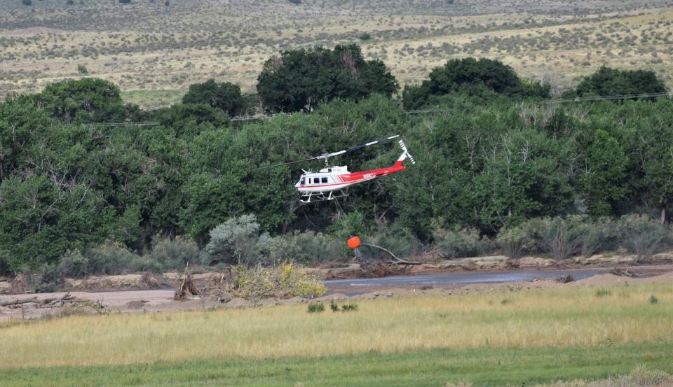
Wildfire risk in lower-elevation grasslands tends to be higher during the windy season in the spring, Bollinger said, but that risk tends to decrease later in the year and shift to mountain regions as more precipitation tends to fall along the plains.
Justin Louen, a service hydrologist working at the National Weather Service’s Pueblo office, also said that a slower rate of snowmelt tends to keep soil moisture levels in forests at a healthy level. That can contribute to the overall ecosystem and resiliency of the forest.
What impact has El Niño had on southeastern Colorado?
During an El Niño weather pattern, which occurs every few years, warming in parts of the Pacific Ocean can cause ripple effects on climate around the world. Still, parts of the country that are further inland tend to see weaker effects than coastal areas.
Bollinger said that this past cycle of El Niño was relatively strong, but it didn’t have a strong impact on Colorado’s climate.
Southern Colorado tends to receive more moisture during El Niño years, but that wasn’t really the case this year, Louen said.
Snowpack accumulation was slow at the beginning of the winter but started picking up in the earlier months of 2024 to return to recent averages.
Bollinger and Louen both said that models show El Niño is starting to wane in strength and that its inverse weather pattern, La Niña, could be coming back. That could mean generally drier conditions in this part of Colorado, Bollinger said.
Anna Lynn Winfrey is a reporter at the Pueblo Chieftain. She can be reached at awinfrey@gannett.com. Please support local news at subscribe.chieftian.com.
This article originally appeared on The Pueblo Chieftain: What snowpack levels in Pueblo, Colorado mean for 2024 wildfire risk

