Could the next deadly tornado strike in Kansas City? See risk levels of nearby counties
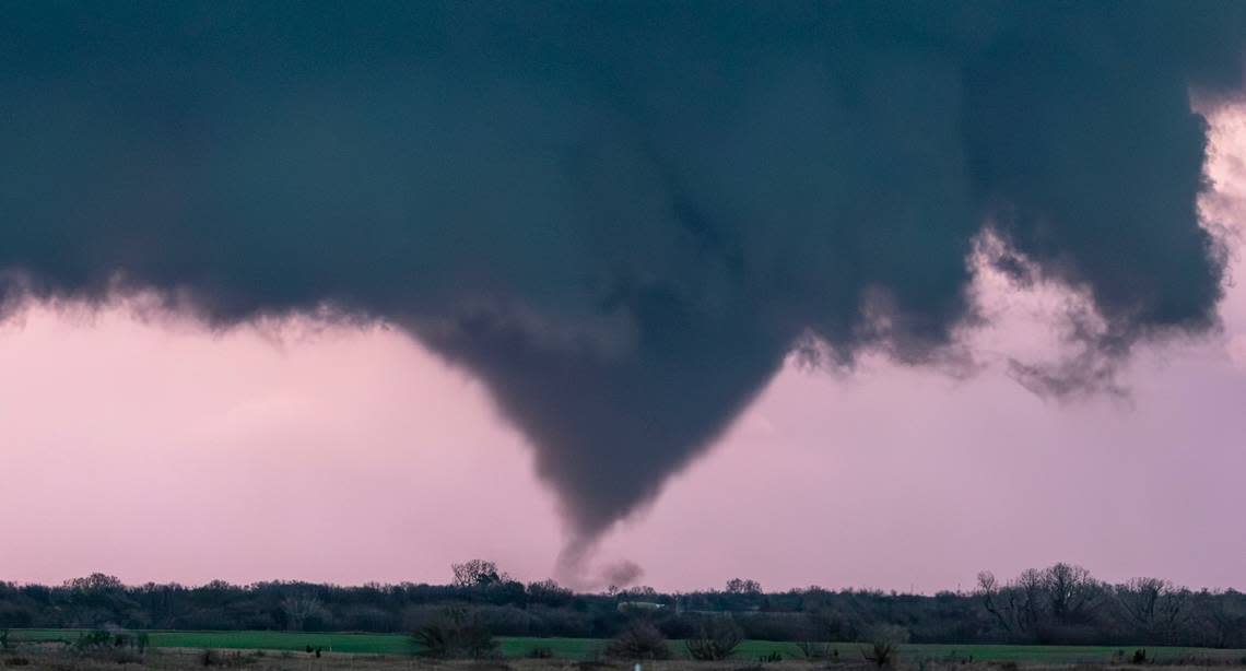
It’s tornado season in the Midwest, and it’s already turned deadly.
A tornado swept through Indiana and Ohio on Thursday, killing three and injuring many more, according to CNN.
“I can best describe it as a bomb going off … unbelievable damage,” Sheriff Randall Dodds of Logan County, Ohio, told the news organization Friday.
The peak tornado season runs from April to June in Kansas and Missouri, according to the National Weather Service. But are Kansas City area counties in danger of tornadoes during this time of year?
Yes. In fact, the five counties — Clay, Jackson, Platte, Johnson and Wyandotte — have some of the highest risks of tornadoes in the United States, according to the Federal Emergency Management Agency. You can check your county’s threat level in FEMA’s National Risk Index.
What is Kansas City’s risk assessment for tornadoes?
The National Risk Index is a dataset that compiles data for 18 natural hazards, like like snowstorms, wildfires, hail and heat waves, and calculates the risk of each hazard occurring in a county.
For instance, many coastal counties like those along the Gulf Coast have a “relatively high” or “very high” risk assessment because of the threat of hurricanes and coastal flooding.
Scores are on a scale of 100, and range from “very low” to “very high.” The index is based on the National Weather Service’s database for severe weather and uses the same geographical divisions as the U.S. Census.
Here’s how FEMA ranks the Kansas City area counties when it comes to the tornado risk compared to the rest of the country:
Clay County: 96.9, which is relatively high
Jackson County: 99.6, which is very high
Platte County: 91.5, which is relatively moderate
Johnson County: 99.1, which is very high
Wyandotte County: 96.9, which is relatively high
FEMA also has rankings for the county’s total risk assessment. Here’s how the counties ranked:
Clay County: 86.89, which is relatively moderate
Jackson County: 95.61, which is relatively high
Platte County: 74.48, which is relatively low
Johnson County: 94.27, which is relatively moderate
Wyandotte County: 87.18, which is relatively moderate
What that means is if a Census tract has Risk Index percentile of 84.32, for example, then its Risk Index value is greater than 84.32% of all U.S. Census tracts, according to FEMA.
How should I prepare for tornadoes?
Here are some steps to take to prepare for severe thunderstorms and tornadoes, from the U.S. Centers for Disease Control and Prevention:
Have a safe space planned in your home for protection, like a storm cellar or basement away from windows.
Write down important information, like emergency phone numbers.
Keep emergency supplies on hand.
Have a first aid kit available.
Store away extra food and water.

