Dry this weekend, more storm chances next week
Flood Warning has been issued for Randolph County in Indiana this evening for the Mississenawa River, currently for moderate flooding.
QUICK-LOOK FORECAST:
Showers exit this evening
Weekend looks pretty good
Very warm next week, more storm chances
>> TRACK THE LATEST CONDITIONS: Live Doppler 7 Radar
DETAILED FORECAST:
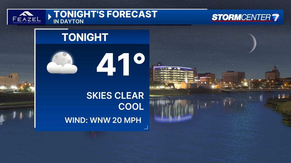
FRIDAY: Showers and even a few thunderstorms this evening, ending tonight. Skies clear and we get chilly with lows in the lower 40s, according to Storm Center 7 Chief Meteorologist Austin Chaney.
SATURDAY: Mostly sunny and breezy with gusts of 20-30 MPH expected. Nice with highs in the mid-60s. Chance of a sprinkle overnight.
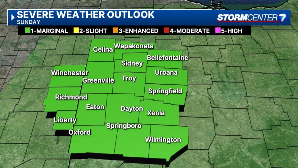
SUNDAY: Partly cloudy and windy with gusts over 30 MPH expected. Isolated showers or a thunderstorm are possible, but it should not be a washout.
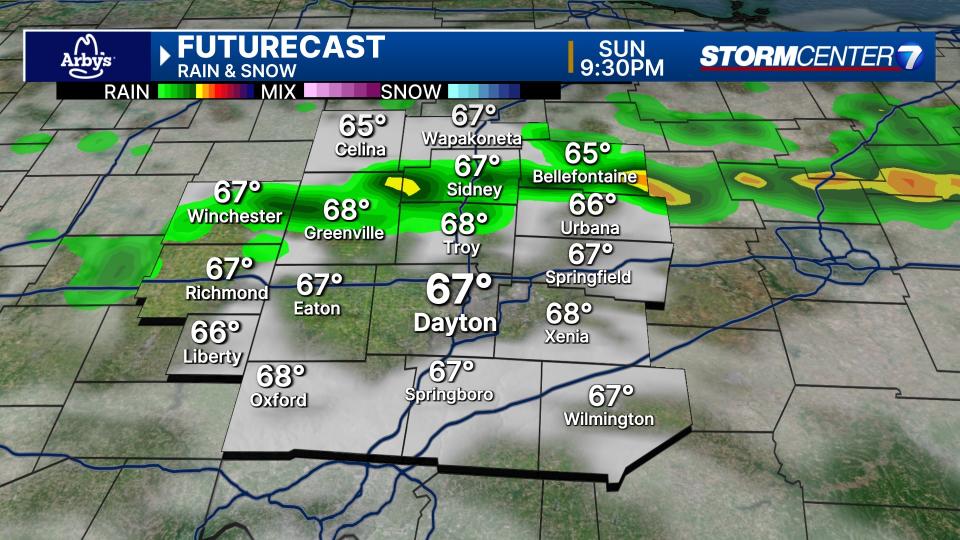
SPC has the Miami Valley highlighted under a Level 1 risk of a strong storm, but not overly concerning. Highs in the middle 70s.
MONDAY: Partly to mostly cloudy and mainly dry aside from a stray shower late for Monday with highs in the mid to upper 70s.
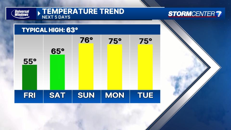
TUESDAY: Partly cloudy with a chance for showers and storms. Staying warm with highs in the middle to upper 70s.
WEDNESDAY: Mostly cloudy with showers and storms likely. Highs in the middle to upper 70s.

THURSDAY: Partly cloudy. Catching a break to dry out between systems, but this could change. Highs near 70.
FRIDAY: Mostly cloudy and cooler. A chance for showers late. Highs in the lower 60s.

