‘Cluster of strong thunderstorms’ could hit SLO County with hail, lightning


This is a developing story. Check back to sanluisobispo.com for updates.
To get breaking news alerts, click here
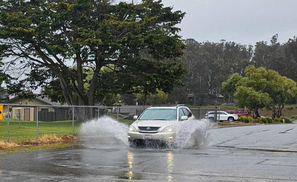
The National Weather Service issued a special weather statement for southern San Luis Obispo County Friday morning in the wake of storms that dropped more than half an inch of rain on the region overnight.
According to the special weather statement, a “cluster of thunderstorms” are on a collision course with southern San Luis Obispo and Santa Barbara counties, bringing winds up to 40 miles per hour and hail as large as half an inch in diameter.
At around 9:10 a.m., Doppler radar tracked thunderstorms between Morro Bay as far south as Point Arguello moving southeast at around 30 miles per hour, according to the NWS statement.
“Frequent” cloud to ground lightning was occurring during the storm, and could strike as far as 10 miles from the thunderstorm, according to the NWS.
The NWS advised taking shelter in a building or vehicle while the special weather statement is in effect. It ends at 10:15 a.m. Friday.
A special weather statement has been issued for Santa Maria CA, San Luis Obispo CA and Lompoc CA until 10:15 AM PDT pic.twitter.com/ZEvufh8qOy
— NWS Los Angeles (@NWSLosAngeles) April 5, 2024
Car crash closes Hwy 166 near New Cuyama
A car crash on Highway 166 closed the highway east of Aliso Canyon Road near New Cuyama in Santa Barbara County, Caltrans said in a post on X.
In the post, Caltrans said it does not have an estimate for when the highway would be open again.
According to CHP’s traffic incident page, a Toyota Corolla and a semi-truck collided around 8:12 a.m.
