Blizzard warning issued for Lake Tahoe area ahead of ‘biggest storm of the season’
The National Weather Service issued a blizzard warning Tuesday for the greater Lake Tahoe area, warning of “whiteout conditions with near zero visibility at times due to blowing snow.”
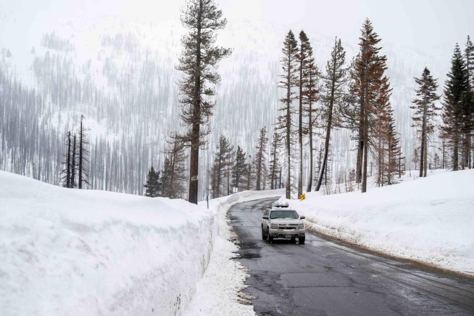
The warning, which takes effect Thursday morning, comes ahead of a severe winter storm that’s forecast to bring heavy mountain snow, strong winds and widespread rain to Northern California.
Those factors will combine to create “dangerous to impossible” travel conditions in the Sierra Nevada and foothills, especially Thursday into early Sunday the National Weather Service said in a post on X, formerly known as Twitter.
“It’s our biggest storm of the season this winter,” Colin McKellar, a meteorologist with the weather service’s Reno, Nevada office.
Travelers should plan to get on the road before 4 a.m. Thursday or after Sunday morning to avoid the worst of the weather, the weather service said.
When does blizzard warning go into effect for Lake Tahoe?
The blizzard warning will be in effect 10 a.m. Thursday to 10 a.m. Sunday.
It affects the greater Lake Tahoe area, including the cities of Glenbrook, Incline Village, Truckee, Stateline, South Lake Tahoe, Markleeville and Tahoe City, the weather service said.
Blizzard conditions are likely, particularly from Friday evening through Saturday morning.
“The strong winds and weight of snow on tree limbs may down power lines and could cause sporadic power outages,” the weather service said in the warning. “Whiteout conditions are expected and will make travel treacherous and potentially life-threatening.”
Tuesday’s blizzard warning comes exactly one year after the most recent one for the Tahoe area. The weather service issued that warning on Feb. 27, 2023.
How cold will it get?
Temperatures in the Tahoe area will slowly decline starting Thursday, according to the weather service’s five-day forecast.
On Tuesday and Wednesday, highs will remain in the mid 40s and dip into the mid-20s, the forecast said.
The high temperature will reach 40 degrees on Thursday with a low of 25 degrees.
Friday will see a high of 35 degrees and a low of 17 degrees, the weather service said.
Temperatures will continue to drop over the weekend.
Saturday will see a high of 28 degrees and a low of 11 degrees. On Sunday, the high will be at 28 degrees with a low of 8 degrees.
How much snow is forecast?
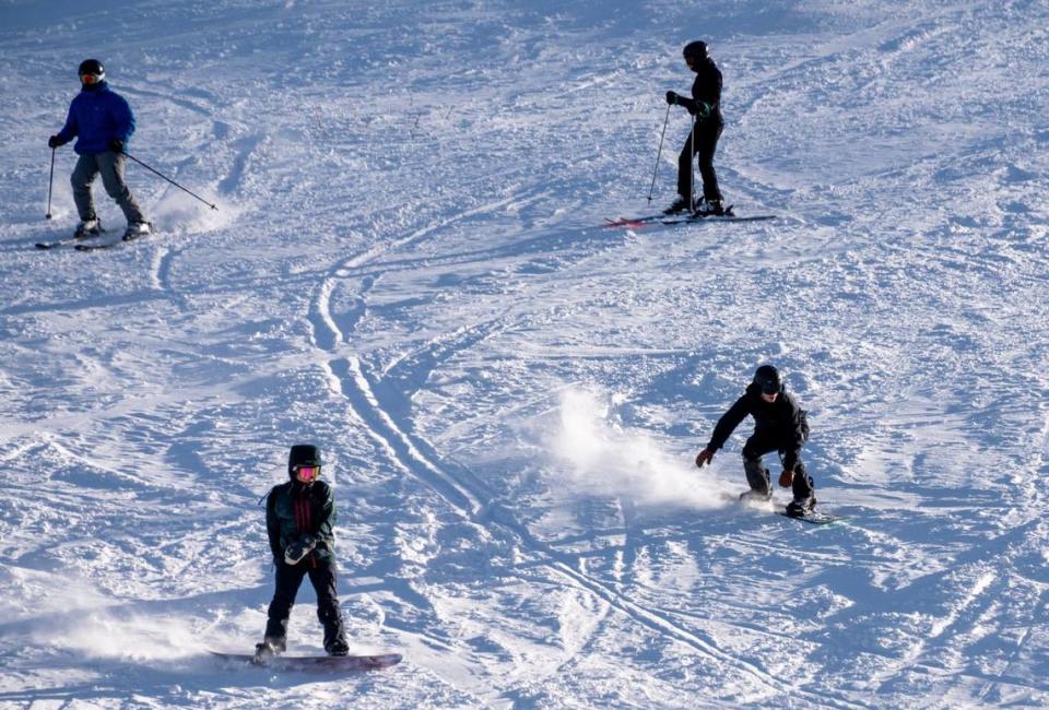
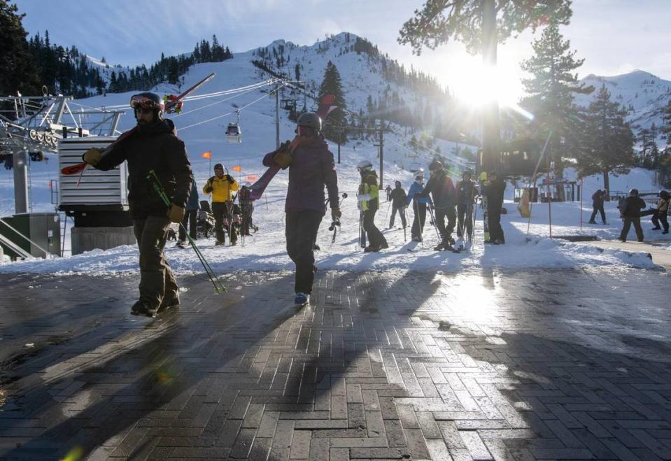
Lake Tahoe communities could see snow accumulations between 2 and 4 feet, with 4 to 8 feet of snow expected above 7,000 feet, the weather service said.
It “looks like the peak of this is going to be really Friday afternoon through Saturday morning,” Mckellar said.
How strong will winds be?
On the lake level, there will be gusts of wind of 50 to 60 mile mph, Mckellar said.
The weather service is predicting winds gusting to 60 mph in lower elevations and above 100 mph over mountain ridges.
What do you want to know about life in Sacramento? Ask our service journalism team your top-of-mind questions in the module below or email servicejournalists@sacbee.com.

