Live updates: NWS warns of flooding, possible tornadoes as storm arrives in SLO County
- Oops!Something went wrong.Please try again later.
This is a developing story. Check back to sanluisobispo.com for updates.
To get breaking news alerts, click here
A sudden storm hit San Luis Obispo County on Wednesday, bringing with it the possibility of flooding, thunderstorms and even tornadoes.
As of 2:30 p.m., a band of heavy rain was making its way across the region, which prompted a flood advisory to be issued for most of the county.
Here are the latest updates:
Flooding possible as heavy showers hit Central Coast
Update, 2:40 p.m.:
According to a National Weather Service flood advisory, there was a chance of minor flooding in low-lying and poor drainage areas, along with rises in small streams and normally dry arroyos.
There was also a chance for heavier flooding in the evening, as Doppler radar indicated moderate-to-locally-heavy rain showers across the area, according to the advisory.
In a post on X, the NWS also issued a special weather statement for the coastal area near Oceano, Los Berros and Guadalupe until 2:30 p.m.
Residents were encouraged to seek shelter in a sturdy structure from 50 mph winds and possible pea-sized hail, according to the post.
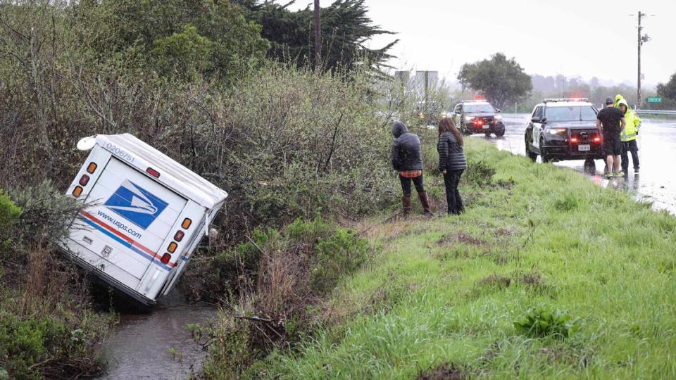
USPS mail truck hydroplanes off North Coast road during storm
A U.S. Postal Service truck hydroplaned off Los Osos Valley Road on Wednesday afternoon, landing in a ditch on the side of the busy street.
The crash was reported near Turri Road in Los Osos at about 1:40 p.m., according to CHP’s traffic incident report page.
No one was injured in the incident.
Special marine statement, high surf advisory issued
Original story:
As skies darkened through Wednesday morning across San Luis Obispo County, the National Weather Forecast issued a special marine warning for much of the Central Coast region.
According to a post on X from the NWS, winds are expected to reach more than 34 knots with a chance of pea-sized hail and waterspouts from Santa Cruz Island to Point Sal State Beach, extending westward 60 nautical miles to San Miguel Island and Santa Rosa Island.
In the post, the NWS advised taking safe harbor from steep waves until 10:45 a.m.
In addition to the special marine warning, the NWS issued a high surf advisory for San Luis Obispo and Santa Barbara counties beaches.
The advisory warned of large breaking waves between 9 and 12 feet, with dangerous rip currents posing a risk to swimmers, surfers and small boats.
The NWS advised staying out of the water and away from rock jetties during the warning, which will be in place from 8 a.m. Thursday through 8 a.m. Friday.
Special Marine Warning including the Waters from Pt. Sal to Santa Cruz Island CA and westward 60 nm including San Miguel and Santa Rosa Islands, Point Piedras Blancas to Point Sal from 10 to 60 NM and Point Piedras Blancas to Point Sal westward out to 10 NM until 10:45 AM PST pic.twitter.com/gEpfe1g6Nr
— NWS Los Angeles (@NWSLosAngeles) March 6, 2024
NWS warns of possible tornadoes, hail
North Coast residents were advised to take shelter in a sturdy structure mid-day Wednesday as the storm began its push into the area.
In a post on X, the National Weather Service issued a special weather statement for Morro Bay, Los Osos and Cayucos, warning of a small chance for tornadoes, as well as winds of up to 50 mph and pea-sized hail.
According to NWS Doppler radar, a strong thunderstorm 10 miles southwest of Morro Bay was spotted moving northeast at 20 mph, bringing a “small chance of brief, weak tornadoes,” around noon.
The NWs warned that gusty winds could knock down tree limbs, and vegetation was susceptible to minor hail damage.
‘When thunder roars, go indoors.’ SLO County meteorologist warns of storm
In a post on X, meteorologist John Lindsey described the upcoming storm as a 548-decameter upper-level low-pressure system spinning counterclockwise around 250 miles west of San Luis Obispo.
In the post, Lindsey said the storm will move southeastward into the Southern California Bight later today, producing convective rain showers and a chance of thunderstorms through Thursday morning.
Lindsey said the heaviest rain is expected this afternoon, with rainfall totals ranging between 0.25 and 1.5 inches throughout the region.
“As a precaution, heed the advice of the National Weather Service: ‘When Thunder Roars Go Indoors,’” Lindsey said in the post. “Stay safe and prepared for changing weather conditions.”
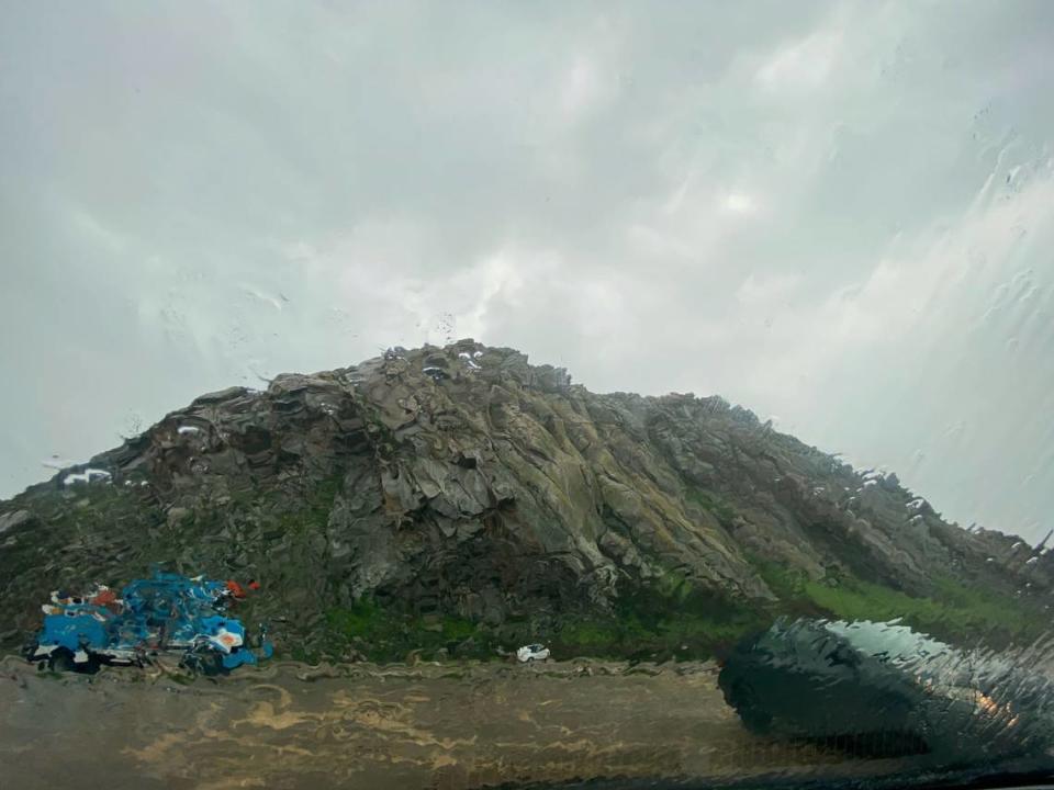
I woke up this morning to this view from our back window, and no wonder, a 548-decameter upper-level low-pressure system is spinning counterclockwise about 250 miles to the west of San Luis Obispo and will move southeastward into the Southern California Bight later today.… pic.twitter.com/fx22FLht03
— John Lindsey (@PGE_John) March 6, 2024

