New Antarctic Evidence Reveals Past Melting

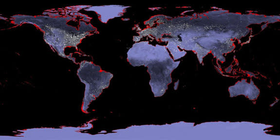
One of the wild cards in estimating future sea level rise from global warming is the enormous East Antarctic Ice Sheet, which holds more freshwater in its icy expanse than the whole of Greenland.
Some climate models predict the giant ice sheet will undergo relatively little change as the planet warms in coming decades, while others forecast significant melting. Now, a new study suggests parts of the East Antarctic Ice Sheet underwent significant melting during the Pliocene, a recent geologic epoch when climate conditions were similar to those of today.
"Scientists previously considered the East Antarctic Ice Sheet to be more stable than the much smaller ice sheets in West Antarctica and Greenland, even though very few studies of the East Antarctic Ice Sheet have been carried out," Carys Cook, lead study author, said in a statement. "Our work now shows that the East Antarctic Ice Sheet has been much more sensitive to climate change in the past than previously realized," said Cook, a doctoral student at Imperial College London.
During the Pliocene epoch between 5.3 million to 2.6 million years ago, geologic evidence indicates atmospheric levels of carbon dioxide were similar to modern levels of 400 parts per million (meaning that for every 400 molecules of air, one was carbon dioxide) and global temperatures were 2 to 3 degrees Celsius (about 3.6 to 5.4 degrees Fahrenheit) higher than they are now. Sea levels stood about 66 feet (20 meters) higher, according to ancient preserved shorelines.
To raise sea level that much, all of Greenland and West Antarctica had to be ice-free and parts of East Antarctica may have melted, modeling studies show. (The Antarctic ice sheet first started forming 34 million years ago.)
Cook and her colleagues looked for evidence of past ice melting by drilling into deep-sea sediments offshore of East Antarctica. The ancient mud contains a unique geochemical fingerprint that matches bedrock in the Wilkes Subglacial Basin, which is now thickly covered with ice. The sediments were deposited between about 5 million to 3 million years ago, indicating the ice sheet retreated several hundred kilometers (about 200 miles) inland, exposing the bedrock, the researchers conclude. Erosion carried the sediments offshore.
The findings were published July 21 in the journal Nature Geoscience.
The researchers plan to conduct additional studies to determine whether the ice sheet melted all at once or in pulses, and how quickly melting took place.
Email Becky Oskin or follow her @beckyoskin. Follow us @livescience, Facebook & Google+. Original article on LiveScience.com.
Copyright 2013 LiveScience, a TechMediaNetwork company. All rights reserved. This material may not be published, broadcast, rewritten or redistributed.
