Summer-like Wednesday, tracking showers and storms Thursday
EVENING: Sunny and warm. Temps in the 80s.
TONIGHT: Clear and mild. Low 63.
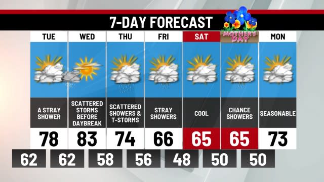
WEDNESDAY: Very warm with stray evening storms. High 88.
The second day in a row we managed sunny skies and temperatures warming into the 80s. The average high temperature right now is 75 degrees, and we expect to remain warm into the middle of the week
Wednesday will be the warmest day of the week with highs reaching 88 degrees. A pre-frontal line of thunderstorms may develop tomorrow evening, only hitting parts of the Midstate.
A cold front will be draped across Pennsylvania on Thursday with scattered showers and thunderstorms. Most of the activity could be centered during the morning hours. Given the timing, severe weather seems unlikely, but brief heavy rain and thunder appear likely in spots during the first half of Thursday. Keep a watch on this forecast if you have outdoor plans. As the day wears on, the front will shift just south of Pennsylvania taking most of the shower activity with it for later Thursday.
Skies should clear for Friday to bring a dry and pleasant start to the holiday weekend.
The weekend forecast is improving, but we still might have to contend with a few showers over the three day holiday. Most of Saturday and Sunday should stay dry (with a stray shower exception for Saturday). A weak cold front could allow a few showers to develop on Monday, but it doesn’t appear to be a washout. The highs for the weekend will remain above normal, reaching 80 for the afternoons.
-Meteorologist Eric Finkenbinder
Copyright 2024 Nexstar Media, Inc. All rights reserved. This material may not be published, broadcast, rewritten, or redistributed.
For the latest news, weather, sports, and streaming video, head to ABC27.

