Afternoon thunderstorms, and possibly hail, are expected to roll through Milwaukee and Madison
Following the weekend's pleasant and warm weather, southern Wisconsin is expected to see thunderstorms and cooler temperatures later Monday and Tuesday.
Storms are in the forecast Monday afternoon and evening for much of southern Wisconsin along and south of Interstate 94, including Milwaukee and Madison, said local National Weather Service meteorologist Marcia Cronce. Due to "unsettled" conditions, storms are also possible further north.
In Milwaukee, showers and thunderstorms are forecast to begin around 3 p.m., while they're expected closer to 1 p.m. in south-central Wisconsin. Temperatures in Milwaukee will peak around 73 degrees today at noon before falling into the mid-50s as a cold front approaches. Areas further inland from Lake Michigan could see temps in the upper 70s or even 80 before the storm.
NWS says gusty winds and small hail are expected with the storm. Milwaukee is forecast to receive a quarter to a half an inch of rain today.
Storms should end in the Milwaukee area by early morning Tuesday, between 3 and 5 a.m. There is a slight chance of showers before 7 a.m., otherwise, Tuesday is expected to be cool and dry, Cronce said. Milwaukee will see a northeasterly breeze off the lake, causing things to feel "chilly." A high of 54 degrees and winds around 15 mph, with gusts as high as 25 mph, are in the forecast tomorrow.
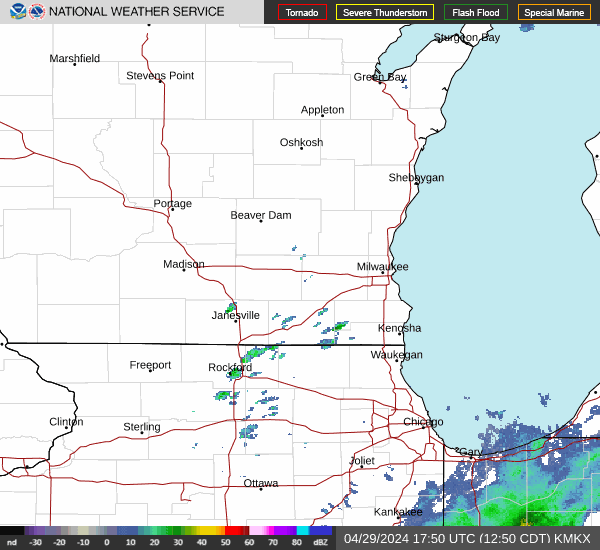
Wisconsin weather radar
Wisconsin weather warnings
This article originally appeared on Milwaukee Journal Sentinel: Milwaukee weather: Thunderstorms, cooler temperatures expected
