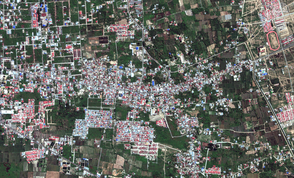
These Satellite Photos Show Indonesia Before and After the Tsunami That Killed at Least 1,000
A massive earthquake and tsunami struck Indonesia Friday, leaving more than 1,500 people dead and bringing disaster to parts of the island of Sulawesi.
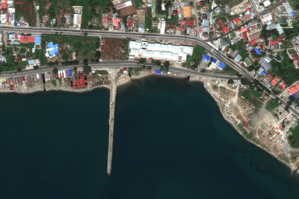
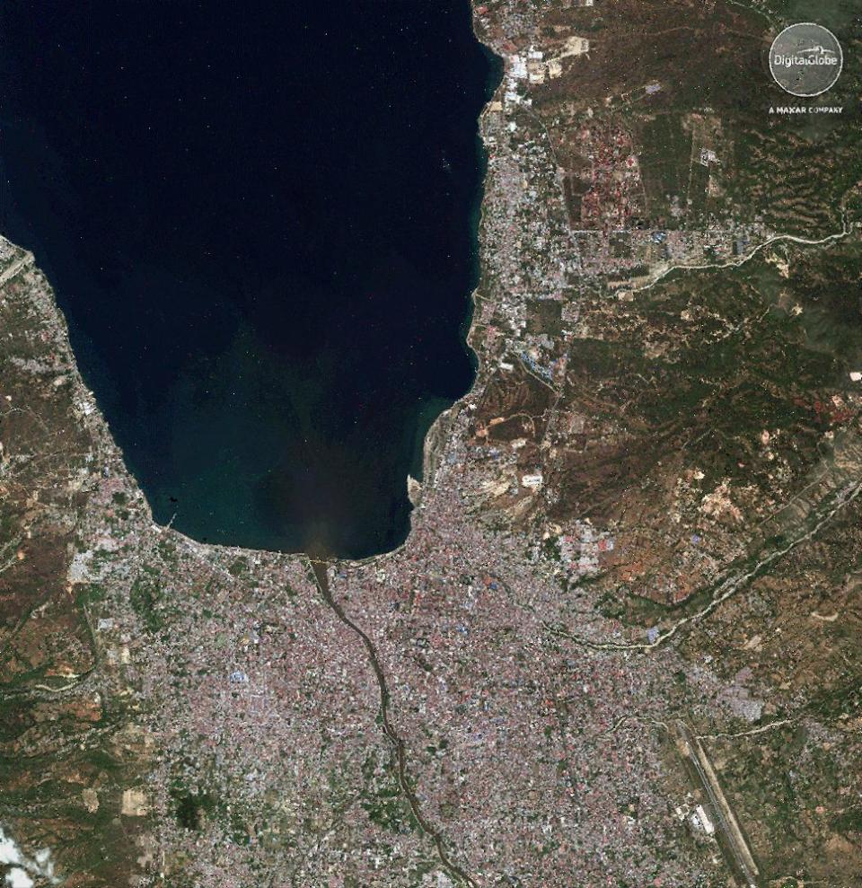
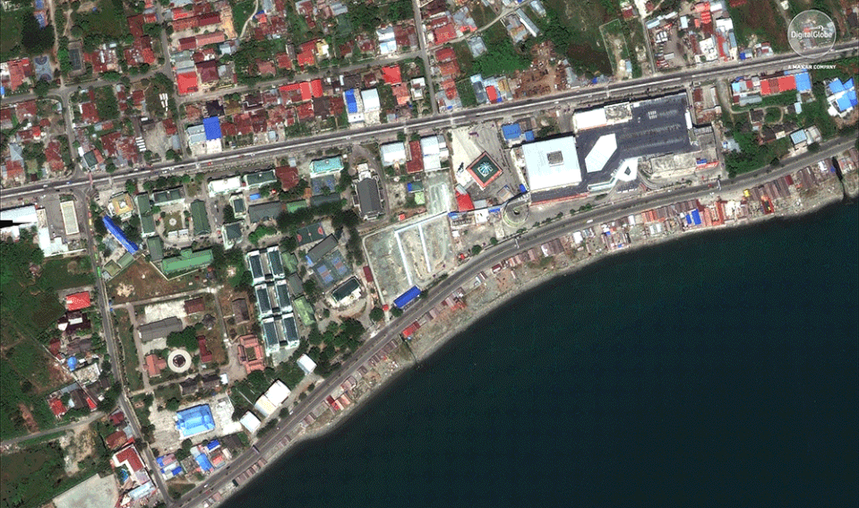
Satellite photographs released by DigitalGlobe show the destruction caused by the earthquake and tsunami. Much of the damage occurred in the city of Palu, where survivors became desperate for food earlier this week. The Associated Press reports that 92 people were arrested for looting in earthquake-rocked areas; motor oil, tires, ceramic tiles and farming equipment were among the taken goods.
Indonesia’s disaster agency said that as of Thursday, 1,558 people have died as a result of the earthquake and tsunami, while more than 70,000 people have been displaced. In Palu, which has a population of 380,000, about 50,000 people were forced from their homes.
Here’s what the affected areas of Indonesia looked like before and after the earthquake and tsunami struck.