
Aerial photos show the devastation left in the path of Hurricane Michael
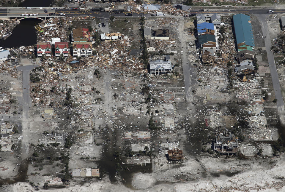
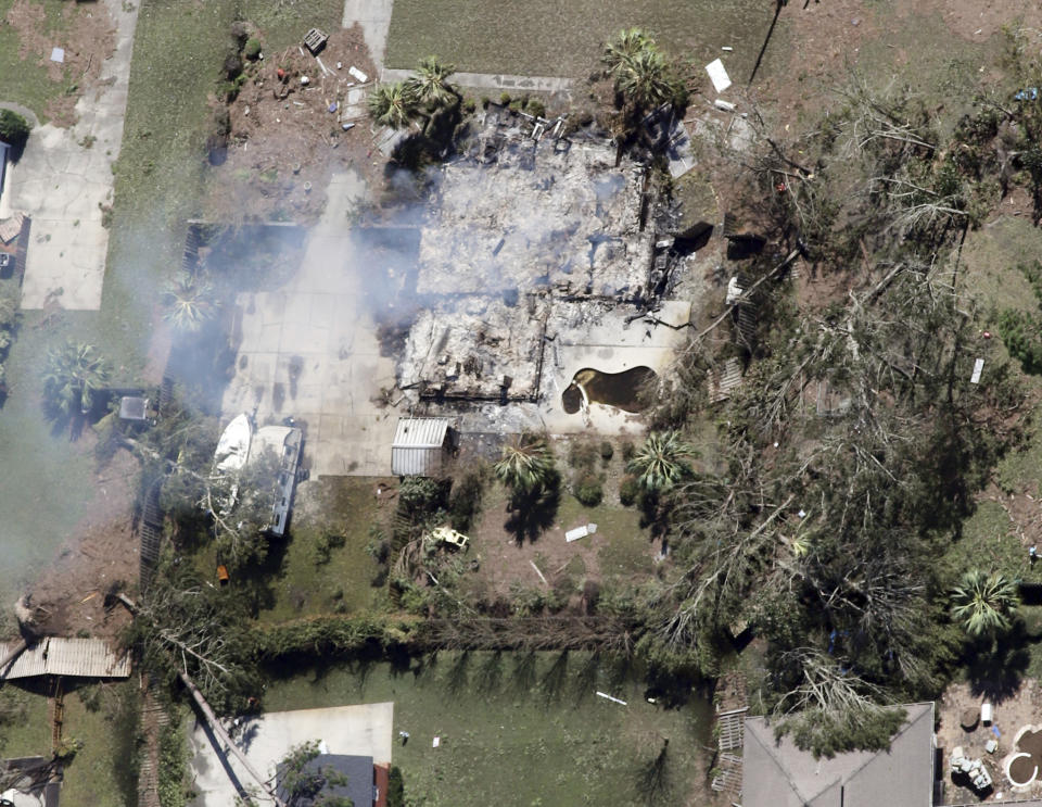
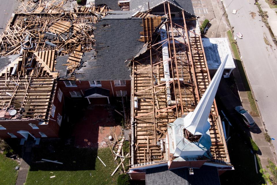
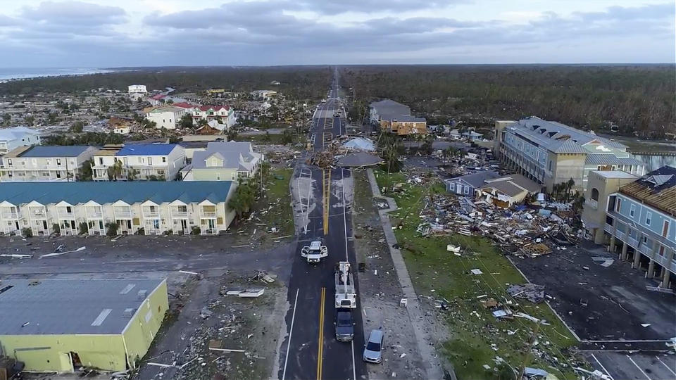
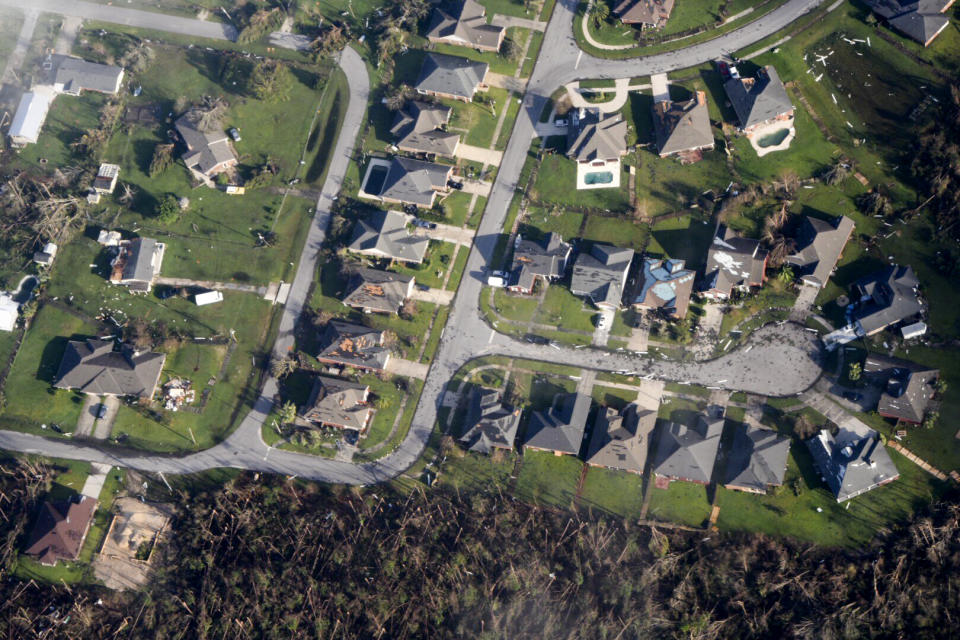
Rescuers used heavy equipment and search dogs on Friday to look for people trapped or killed in the Florida Panhandle towns devastated by Hurricane Michael, amid expectations the death toll of 12 from the powerful storm will climb.
So far, counties along the hard-hit northwest Florida coast have reported no deaths related to the storm. That could change, as efforts to assess damage and look for casualties in the worst-hit communities have been hampered by downed utility lines and roads blocked by debris and fallen trees.
The concern was for people who ignored evacuation orders ahead of the storm and stayed put in communities that were demolished by Michael’s ferocity on Wednesday.
“I think you’re going to see it climb,” Brock Long, administrator of the Federal Emergency Management Agency, said of the death count at a news conference. “We still haven’t gotten into some of the hardest-hit areas.”
FEMA crews also used drone aircraft and global positioning satellites in their search.
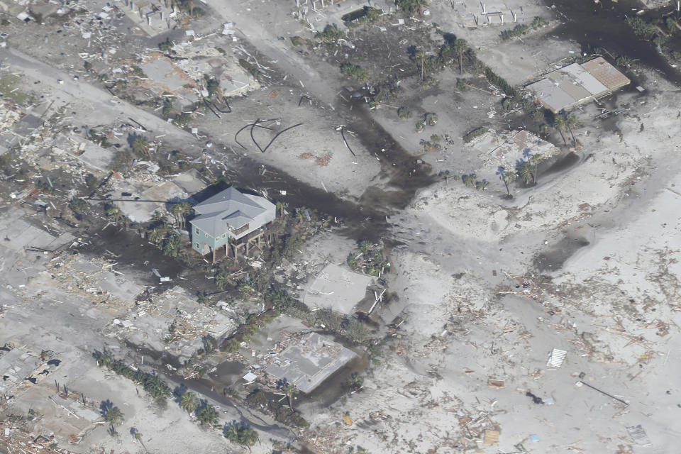
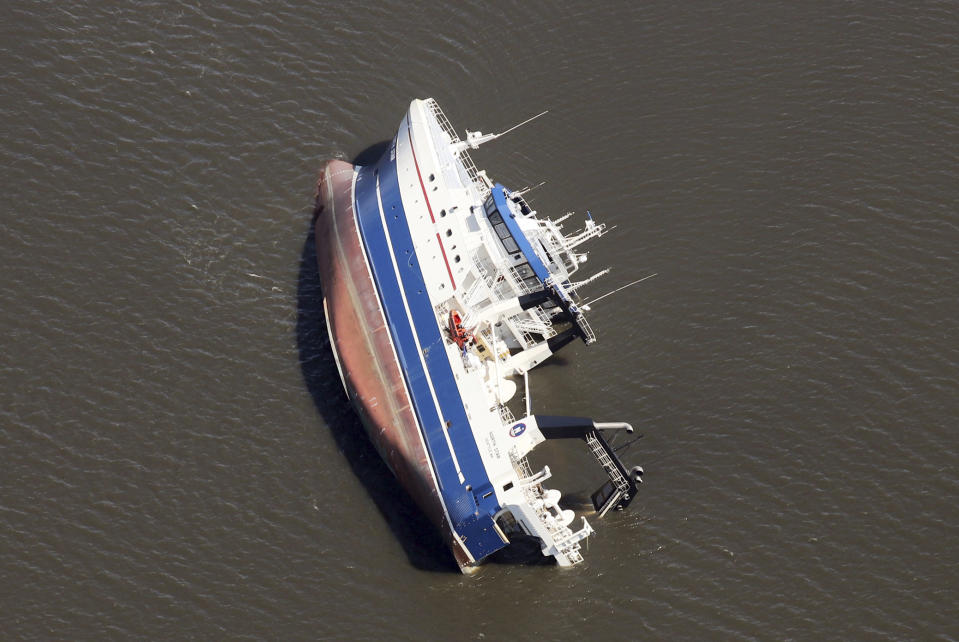
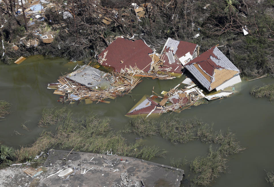
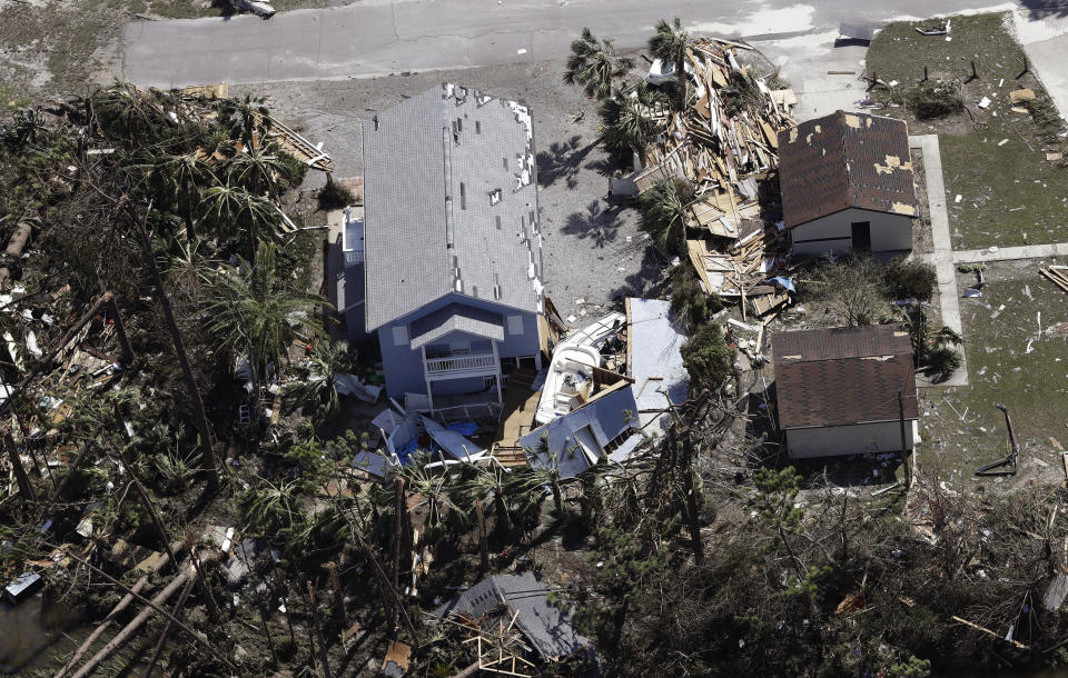
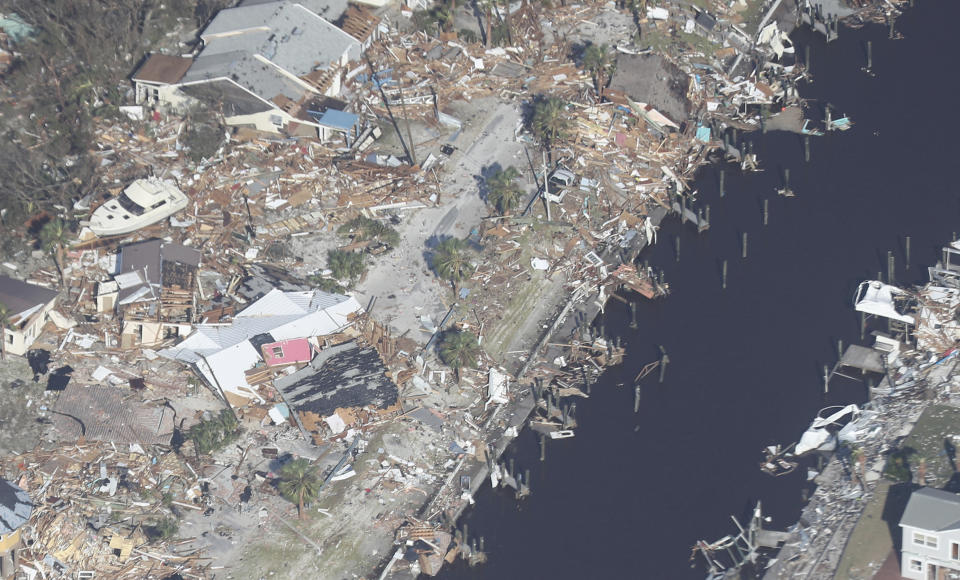
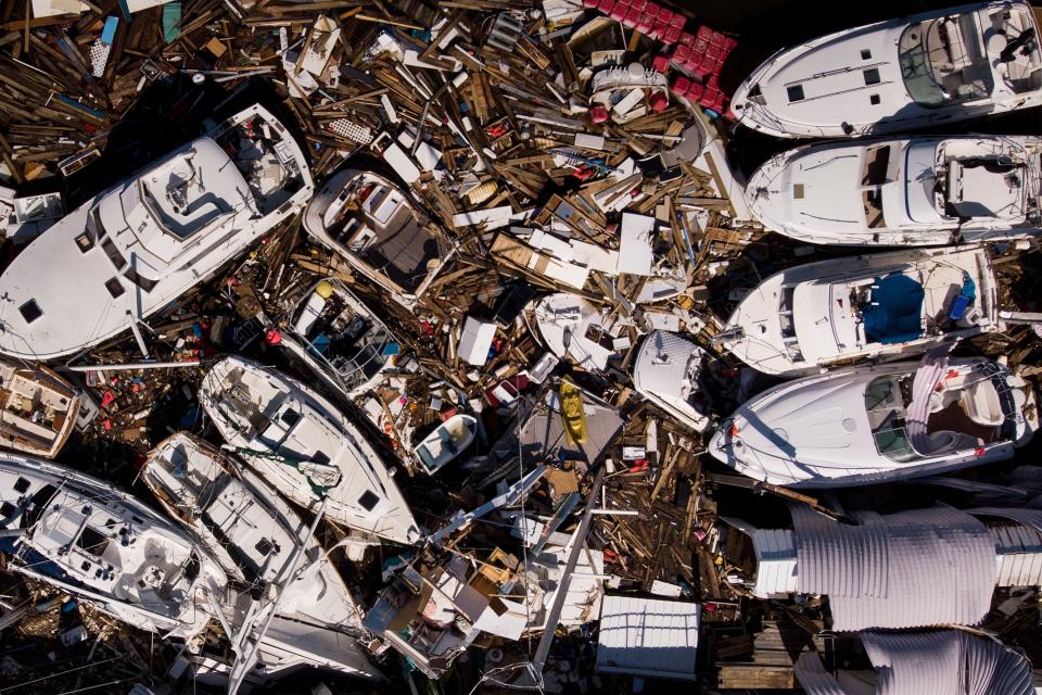
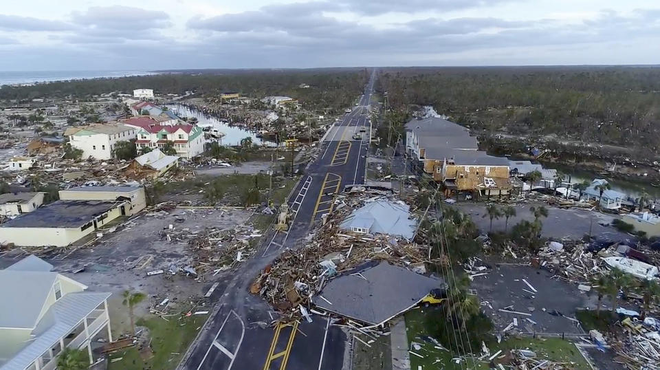
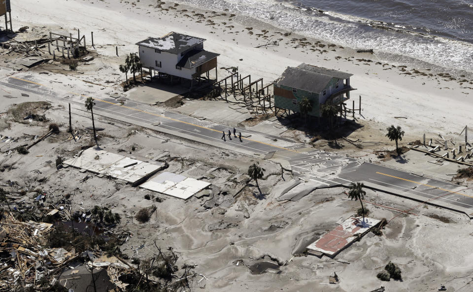
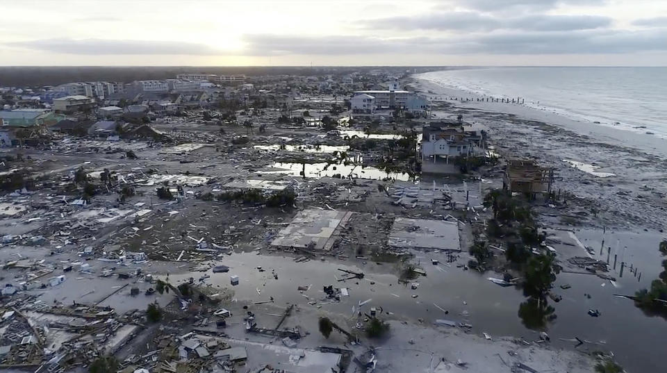
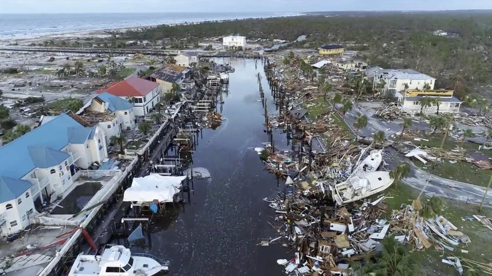
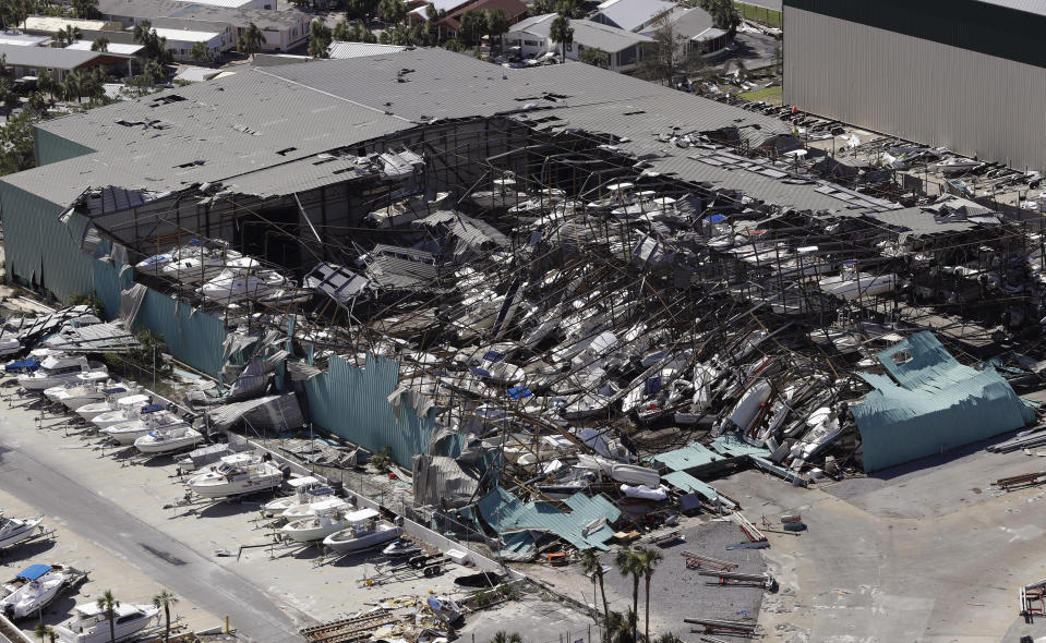
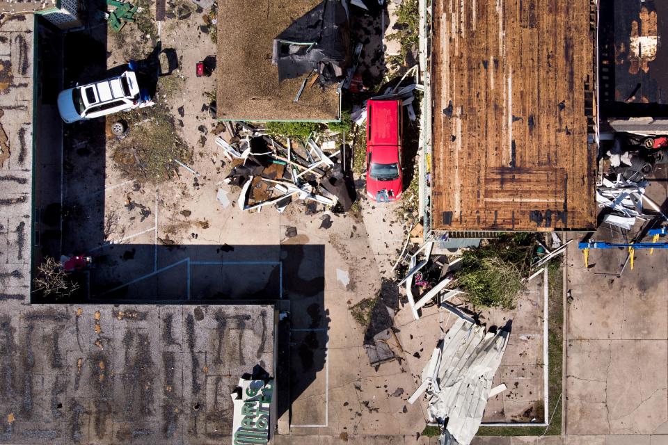
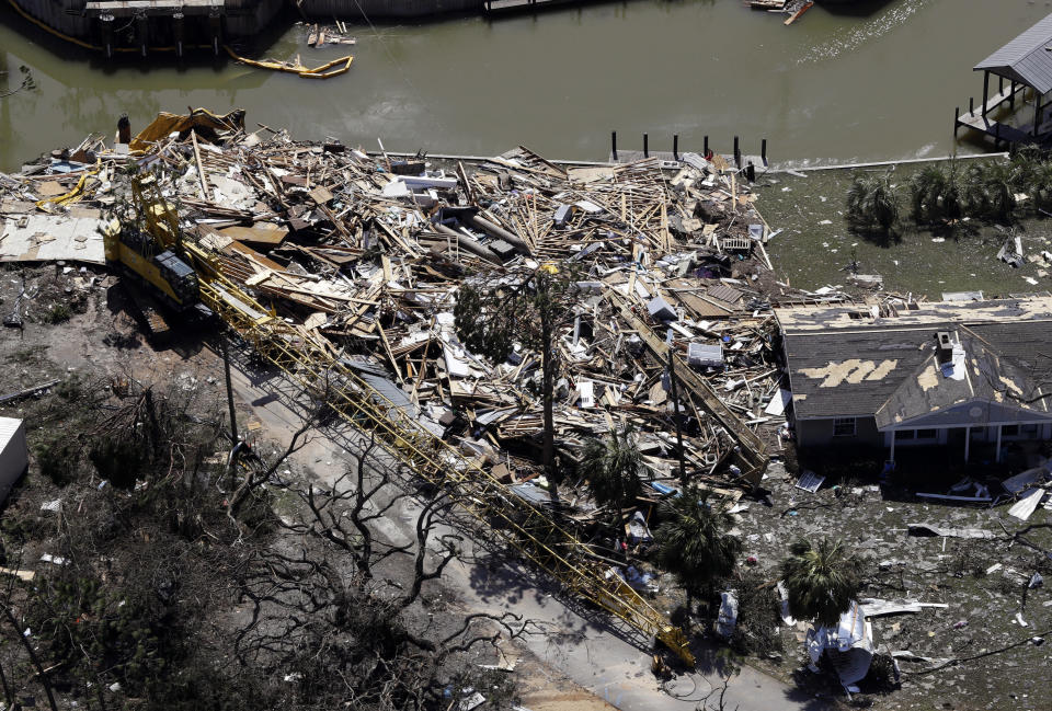
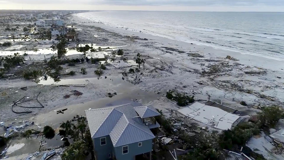
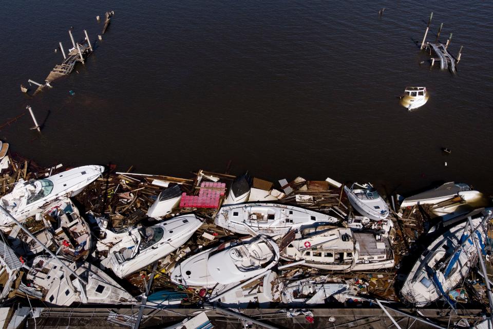
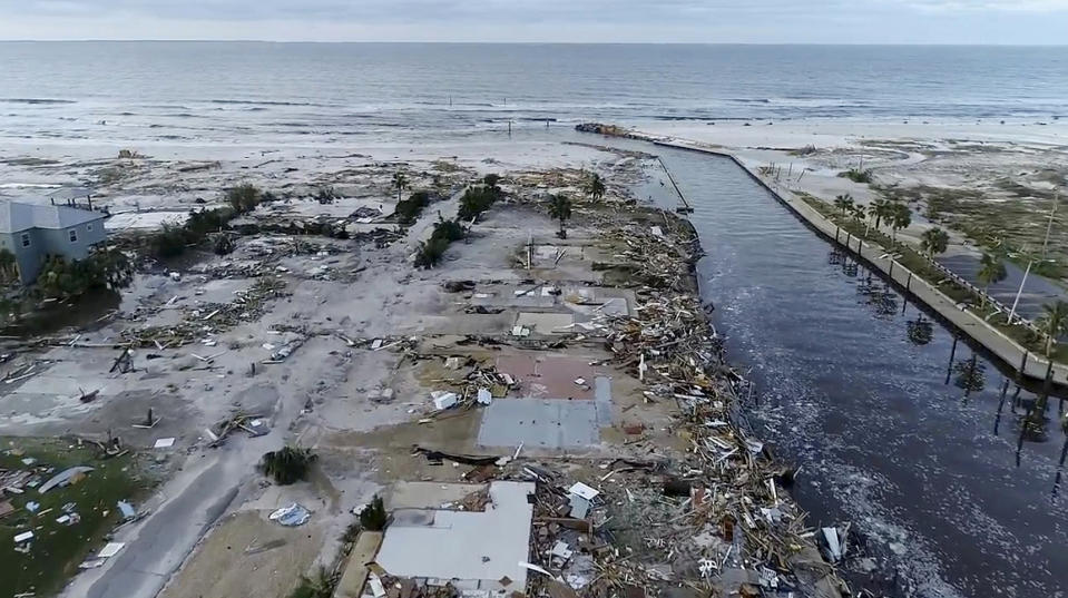
Michael charged ashore near the small Florida Panhandle town of Mexico Beach as one of the most powerful storms in U.S. history, with winds of up to 155 miles per hour (250 km per hour). It pushed a wall of seawater inland and caused widespread flooding.
Many of the houses in Mexico Beach were reduced to naked concrete foundations or piles of rubble.(Reuters)
_____
Related Slideshow: Devastated by Hurricane Michael, Florida starts recovery >>>
See more news-related photo galleries and follow us on Yahoo News Photo Twitter and Tumblr.
