3.0-magnitude earthquake reported in East Texas. Here's what we know
An earthquake shook the grounds of an East Texas county Tuesday afternoon.
The event was reported in Nacogdoches County, approximately 3 miles south-southwest of Chireno, around 5:17 p.m. CST. The U.S. Geographical Survey lists its magnitude as 3.0, with a shallow depth of 7.6 kilometers.
People in Nacogdoches and Tyler reported feeling the impact to the USGS. No damage has been found.
Statesman data page: See earthquakes in Texas over the past day
When was the last big earthquake in Texas?
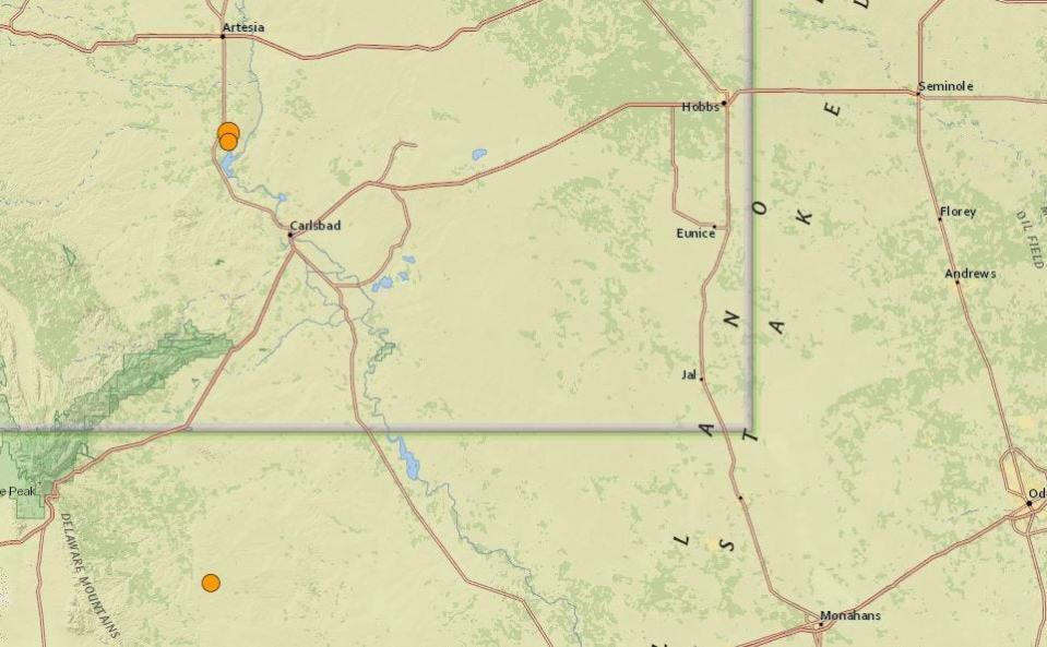
In November 2023, a 5.2 magnitude earthquake shook western Texas. The earthquake happened around 4.27 a.m. local time nearly 24 miles southwest of Mentone, Texas, a town near the Texas-New Mexico border, about 57 miles southwest of Carlsbad, New Mexico, and 200 miles east of El Paso, Texas. The area known as the Delaware Basin is the center of oil extraction in Texas, and it has seen hundreds of small quakes since 2017, according to Texas state records.

According to the USGS, the earthquake hit at a depth of 7.4 kilometers and some strong shaking could be felt in the immediate area. The National Weather Service office in El Paso said workers felt the earthquake in Santa Teresa, New Mexico, which is about 215 miles west of Mentone.
Are earthquakes in Texas increasing?
Earthquakes in Texas have been increasing for years because oil and gas drilling and extraction have been increasing. Last year, there were more magnitude 2.5-plus quakes in Texas than in California, according to Texas officials.
February 2024: 4.7-magnitude earthquake hits southeast of San Antonio, felt all the way near Round Rock
In 2023, there were 591 magnitude 2.5-plus quakes in Texas, compared to 207 in all of 2019. State officials in 2017 ramped up quake monitoring.
A 2022 report by the University of Texas at Austin concluded that 68% of Texas quakes above magnitude 1.5 were "highly associated" with oil and gas production.
Are there any major fault lines in Texas?
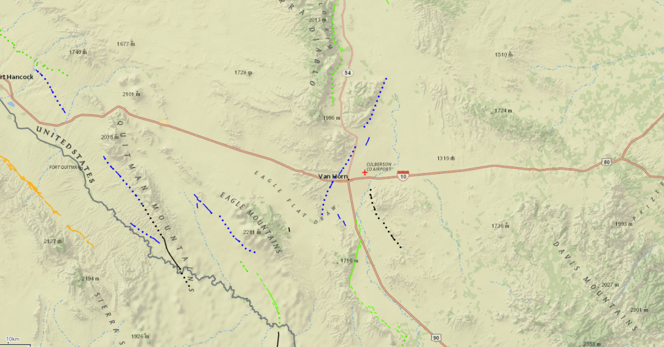
Yes. The Balcones Fault extends from the Dallas-Forth Worth region southward through Waco, Temple, Austin and westward through San Antonio to Del Rio.

The fault line is the path IH-35 takes through Central Texas.
This article originally appeared on Austin American-Statesman: 3.0-magnitude earthquake reported in East Texas on Tuesday

