New $25M facility allows Canada's ocean scientists, military to share research
A new $25-million marine research centre opened Monday in Dartmouth, N.S., to co-ordinate the sophisticated underwater platforms used by Canada to gather ocean data.
The Facility for Intelligent Marine Systems brings together researchers from Fisheries and Oceans, Natural Resources Canada, and Defence Research and Development Canada into one place.
"These researchers will be leading the way in testing new systems to observe Canada's marine environment," Dartmouth MP Darren Fisher said at the facility's official opening.
"They will have an unprecedented opportunity to collaborate, to share ideas, tools, infrastructure in a meaningful way that is sure to benefit everyone involved."
The case for co-operation
All three federal departments use uncrewed gliders and remotely operated vehicles for their own purposes: DFO to monitor ocean conditions, the military to listen for friends and adversaries, and Natural Resources for seabed mapping.
The new research centre, located at the Bedford Institute of Oceanography, is intended for more efficient use of available machinery.
WATCH | New $25M facility allows Canada's ocean scientists, military to share research:
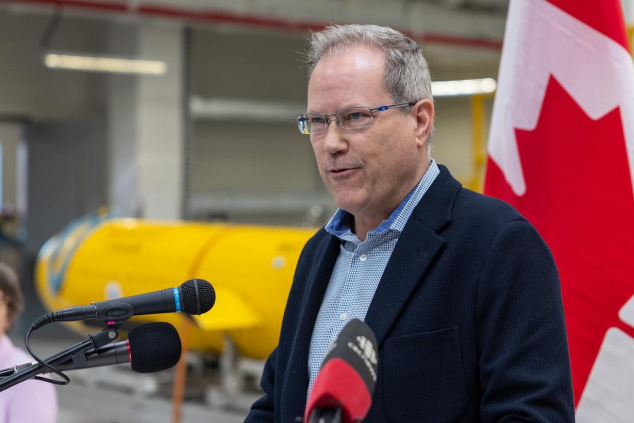
"We can put sensors on that measure the ocean as well as, say, acoustic sensors that listen for things that are in the ocean — whether that be whales or ships or other sound sources — and then we can not only share the data that comes out of that for our own purposes, but also take advantage of the logistics that are involved and the expertise," said scientist Clark Richards, a physical oceanographer at Fisheries and Oceans.
The facility is not security-classified although some of the sensors used by the military and the data collected may be restricted.
Mapping 'our own backyard'
Rear Admiral Josee Kurtz, commander of Maritime Forces Atlantic, said the focus is on seabed mapping "our own backyard" as a changing climate makes the Arctic increasingly accessible.
"It's really important to partner up with DFO and NRCan [Natural Resources Canada] so that we can continue to monitor that environment and understand it a little bit better," said Kurtz.
"So that when we, the navy, go up North to establish our presence in defence of our sovereignty, we can do it with the best possible technology either fitted in our ships [or] embarked in our ships' remote equipment that we can leave there, gather information, bring it back, analyze. So that next time we go, our presence there is as assertive as can be."
'What happens in the Arctic doesn't stay in the Arctic'
Working with Defence Research and Development Canada taking measurements in the Arctic will help understand what is happening far to the south on Canada's East Coast, said Richards.
The outflow from the Arctic Ocean flows into Baffin Bay along the Labrador coast around the Grand Banks and onto the Scotian Shelf.
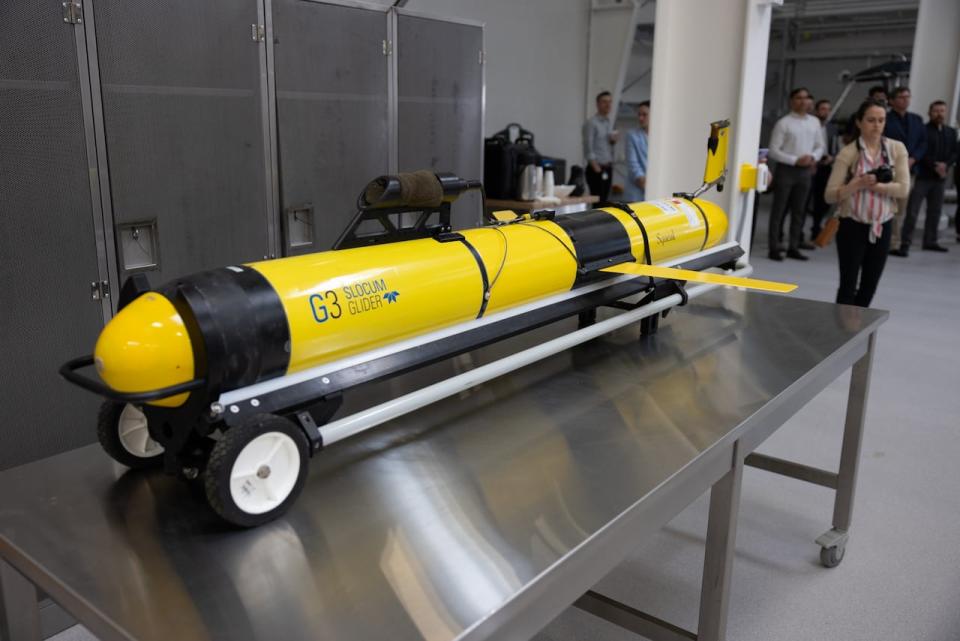
This slocum glider, a workhorse of ocean monitoring, was on display at the official opening of the Facility for Intelligent Marine Systems in Dartmouth. (Robert Short/CBC)
"These changing Arctic conditions are impacting regions further downstream. What happens in the Arctic doesn't stay in the Arctic," said Richards.
"We definitely see that more and more as we see less ice. It means more fresh water. That fresh water gets transported, but it's hard to track where it goes unless you're actually out there frequently enough to make those measurements."
DFO Maritimes science director Francine Desharnais cited an upcoming mission in the Gully — a deep canyon and marine protected area off Nova Scotia — as an example of collaboration with Natural Resources Canada.
"We work with NRCan and share data. NRCan being interested in the seabed and for us in the ocean ecosystems," she said.
MORE TOP STORIES

