Rare weather phenomenon passes through Rochester during winter storm. What is 'thundersnow'?
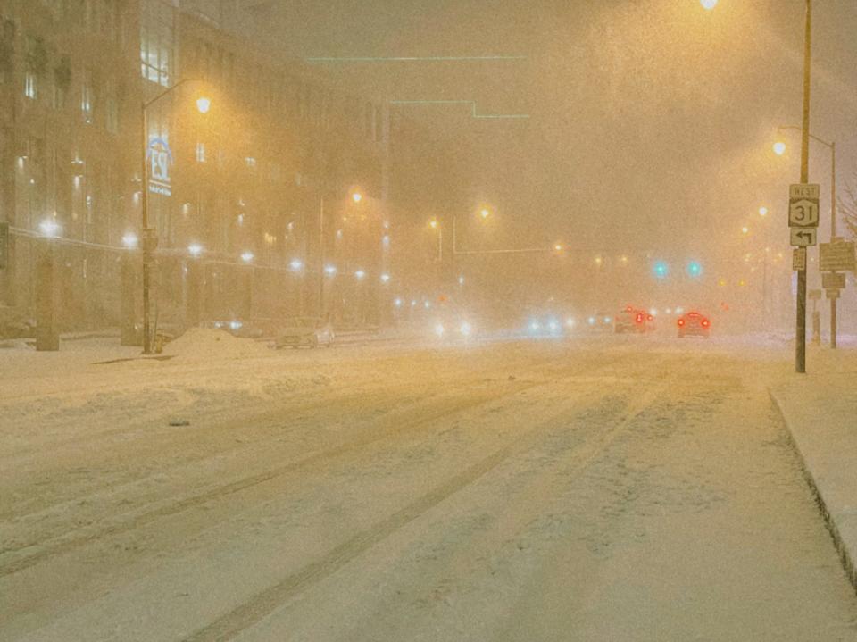
If you were looking in the sky during last night's snowfall in Rochester, you most likely witnessed a weather phenomenon passing through our area: thundersnow.
Thundersnow is a thunderstorm that produces snow instead of rain and occurs when a mass of cold air forms on top of warm air, with moist air closer to the ground. The weather event is rare because convection, the upward motion of air that helps produce thunderstorms, is uncommon in winter.
#Thundersnow was trending on Twitter last night as many people in the area caught the electric sky on camera.
— Jason Geith (@trotnix13) March 4, 2023
Euclid St & Atlas St#RochesterNY #ROC #StreetPhotography #ThunderSnow pic.twitter.com/roVTzhRal6
— Matt Rieck (@and_per_se) March 4, 2023
How much snow did Rochester NY region get?
HAMLIN 5.5 IN
HILTON 4.7 IN
BRIGHTON 4.5 IN
PENFIELD 4.2 IN
ROC AIRPORT 4.0 IN
GREECE 3.9 IN
PITTSFORD 3.5 IN
FAIRPORT 3.4 IN
HONEOYE FALLS 2.8 IN
Rochester NY weather news
March is a weather wildcard in RochesterLook back at some of the most memorable storms
Here's what happenedThis week in 1991, Rochester was hit by a massive ice storm
What is lake effect snow? And why do Rochester and Buffalo get crazy amounts?
Contact Robert Bell at: rlbell@gannett.com. Follow him on Twitter: @byrobbell & Instagram: @byrobbell.
This coverage is only possible with support from our readers.
This article originally appeared on Rochester Democrat and Chronicle: Rochester NY Weather: What is 'thundersnow'? Plus, storm snow totals

