Greater Akron gridlock: New study reveals where you're most like to get stuck in traffic
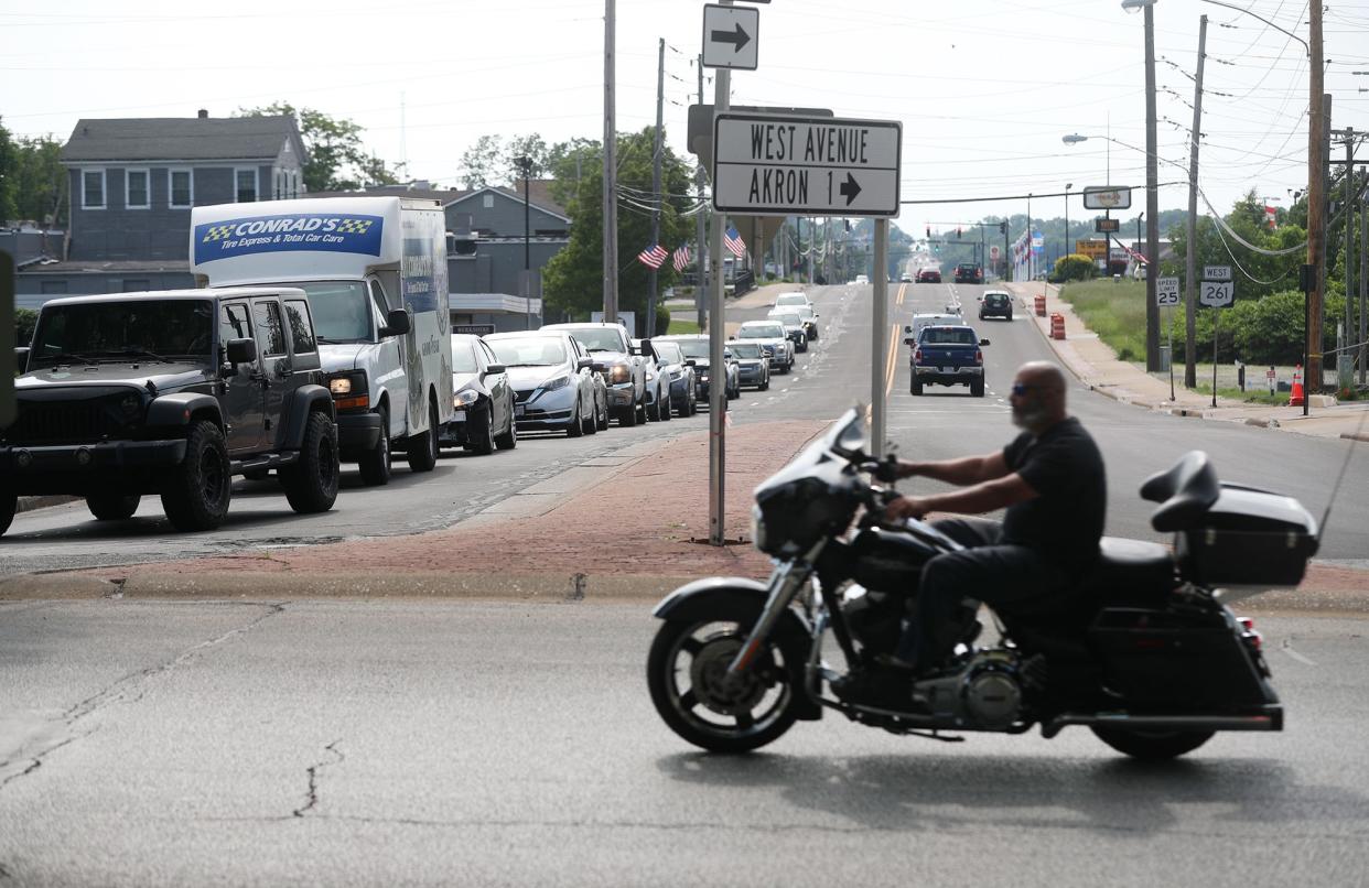
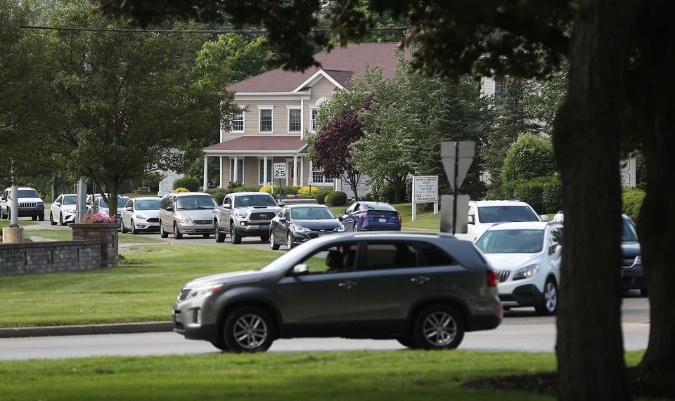
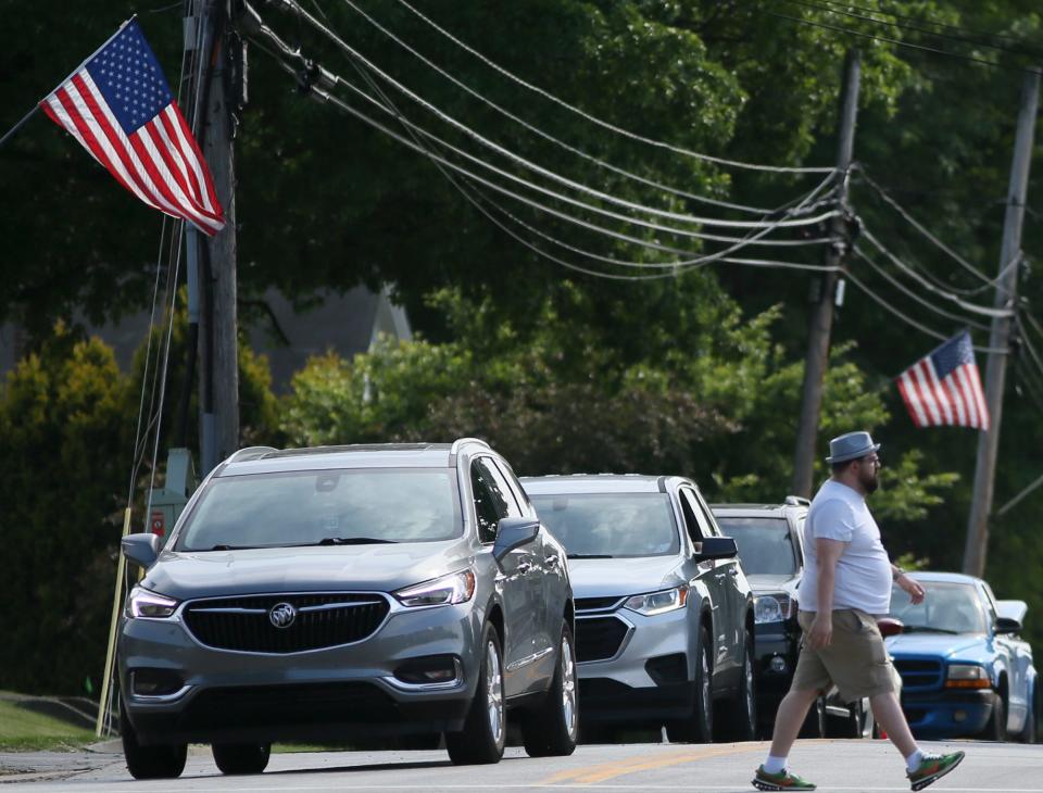
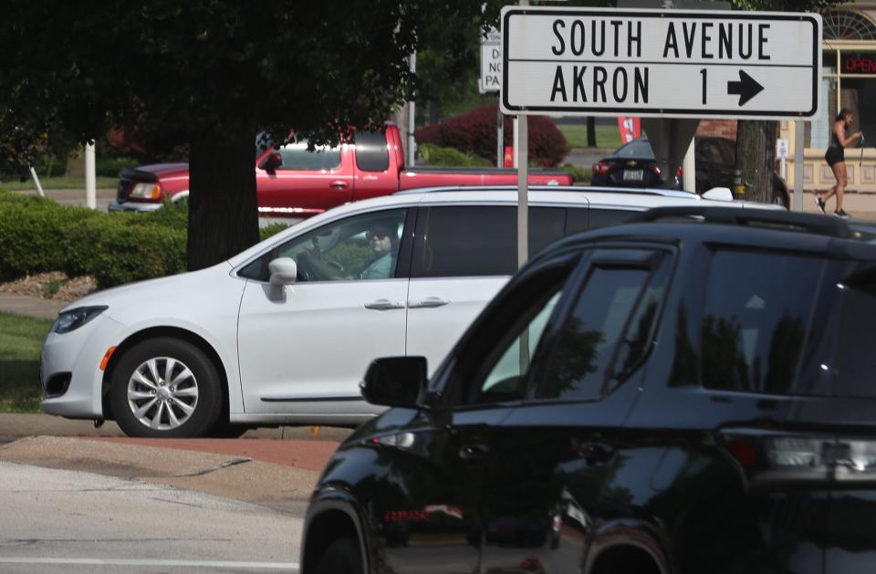
Those who travel through the Tallmadge Circle likely know how traffic backs up on roads around it. Now it's official: Five of the most severely congested segments of roadway in the area are linked to the Tallmadge Circle during the day's peak driving time from 3 to 7 p.m.
The Akron Metropolitan Area Transportation Study, which already monitors land use, traffic volume and safety in the area, has released its 2021 Annual Report on Roadway Traffic Congestion.
As the agency responsible for much of the area's transportation spending, AMATS said the congestion report will be updated each year to help allocate money for roadwork.
Get it on your phone: The BeaconJournal.com app is packed with great features. Here are 5 you need to know about the app
Regarding the first report's findings, the agency said that "things aren’t that bad even when they’re at their worst," calling the area's level of congestion "tolerable," even during peak drive times.
The findings stem from an analysis of traffic congestion on more than 7,000 sections of interstates, freeways, interchanges, ramps, arterials and intersections in the AMATS area of responsibility: Portage and Summit counties and Chippewa and Milton townships in Wayne County.
The report found that only 23 of the segments experience severe congestion at various times during the day — 19 in Summit County and two each in Portage County and Chippewa Township.
Study: Traffic congestion is severe around Tallmadge Circle
The five segments around the Tallmadge Circle deemed to have severe congestion include:
West Avenue between Wright Road and Tallmadge Circle
The South Avenue link to Tallmadge Circle
The Southwest Avenue link to Tallmadge Circle
The Northwest Avenue link to Tallmadge Circle
The West Avenue eastbound link to Tallmadge Circle
The other severely congested areas include three involving state Route 82 in Northfield Center and Macedonia. They include the stretch of Route 82 east of Olde Eight Road in Northfield Center and two segments in Macedonia about a half-mile farther east on lanes from state Route 8 to Route 82.
Macedonia is also home to the region's most severely congested stretch of road, the Interstate 271 southbound off-ramp to Route 8 during the peak rush hour.
Read the AMATS congestion report: 2021 Annual Report on Roadway Traffic Congestion.
During peak hours, Akron's East Bartges Street eastbound segment through the South Main Street interchange is the second most congested segment in the area.
During morning rush hours, from 6 to 10 a.m., the Interstate 77 northbound off-ramp connector to White Pond Drive in Akron is severely congested. White Pond Drive through the I-77 interchange is severely congested in the afternoon and evening.
Other severely congested segments in Akron include Locust Street between West Cedar Street and West Exchange Street and the I-76 off-ramp connector to East Avenue.
Segments of state Route 21 in Chippewa Township are severely congested depending on the time of day. The Route 21 southbound left-turn link to Edwards Road east is busiest in the morning, while the Route 21 northbound right-turn link to Edwards Road west is busiest in the afternoon.
In Portage County, severely congested segments are at Tallmadge Road between Cascades Boulevard and 2,140 feet west of the I-76 interchange in Brimfield (midday, from 10 a.m. to 3 p.m.) and the state Route 14 West leg of the Route 43 intersection in Streetsboro (peak times).
Crash report: AMATS says fatal crashes doubled in Greater Akron during pandemic
Other severely congested areas listed were all during peak hours:
• The ramp from Route 8 southbound to West Streetsboro Road in Boston Heights.
• Howe Avenue between 1,500 feet east of Main Street and Huddleston Avenue in Cuyahoga Falls.
• North Main Street between Church and Aurora streets, and North Main Street between Clinton and Owen Brown streets in Hudson.
• Ravenna Road's right-turn link to Darrow Road in Twinsburg.
How the traffic congestion data was generated
AMATS Transportation Designer Farhad Ahmadzai said congestion calculations took into account the average travel speed of vehicles on segments, the average free flow speed of vehicles and vehicle hours of delay.
Congestion estimates for segments were calculated over a five-month period spanning March through August 2021.
AMATS said the annual congestion reports will be used to identify long-term regional congestion trends and to identify and plan congestion-improvement projects throughout the region.
Eric Marotta can be reached at 330-541-9433, or emarotta@gannett.com. Follow him on Twitter @MarottaEric.
This article originally appeared on Akron Beacon Journal: AMATS issues first annual report on traffic congestion in Akron area

