Gila River is threatened by drought, demand and rising temperatures. Who will protect it?
Water for the river:
Colorado River | San Pedro River | Gila River | Little Colorado River
High in the forested hills of western New Mexico's Gila National Forest, a river forges a lifeline, sustaining abundant wildlife in one of the largest and healthiest Ponderosa pine forests on the planet. Black bears, mountain lions and javelinas cool off in the river during summer. Bald eagles dip their talons in the water for a snack. Below the surface, it is one of the only places to find the rare Gila trout.
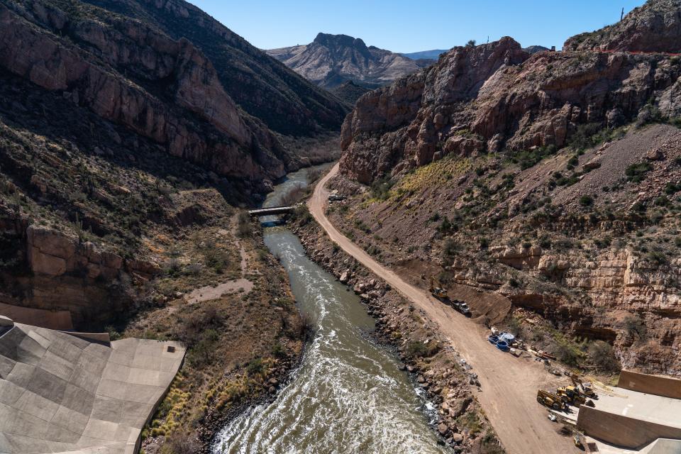
This is the headwaters of the Gila River, one of the Colorado River's longest tributaries. Rushing past towering cliffs, the Gila crosses into Arizona, stretching for nearly 600 miles until its confluence with the Colorado near Yuma.
The Gila was once one of the richest waterways in one of the most productive river ecosystems in the American Southwest. The once perennial river gave life to stretches of dry Sonoran Desert. Wetlands sprawled from either side of the river’s banks, riparian habitats thrived with lush cottonwoods and vegetation for birds, reptiles, and amphibians. Large mammals, like the now-endangered Mexican gray wolf, relied on the river for food.
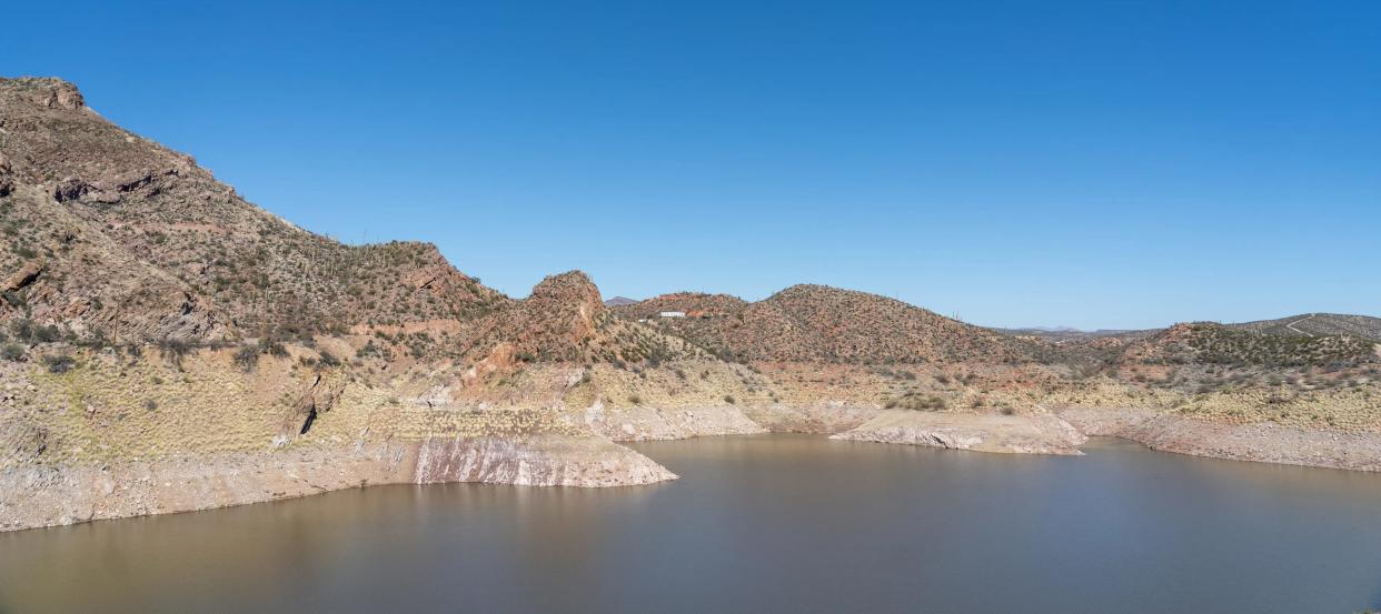
But in the 21st century, depending on the time of year and winter precipitation amounts, the river doesn't resemble its headwaters to the east or its former glory through the desert. The once perennial river now dries up halfway through its journey.
Gila plays vital roles, but its flow is no longer reliable
Although it is one of the West's longest rivers, the Gila's many irrigation diversions drain it dry before it reaches its 500-mile marker.
Near the Gila River Indian Community south of Phoenix, the stream bed lies exposed, and what once could be traversed by large riverboats and recreational users is now reduced to an intermittent trickle. The river appears as a walking trail. Invasive salt cedar sprouts wildly along the path, sucking up precipitation that falls during the monsoon. Their slender branches and green foliage are often the only sign of life for miles along the river.
The Gila long played a vital role for Arizona, collecting water from about two-thirds of the state’s river basins. Most of the rivers that run across the state historically emptied into the Gila, or into another tributary that reaches the Gila. That includes the Salt, Verde, San Pedro, Santa Cruz, San Francisco, Agua Fria, though those rivers are often diverted and dry before reaching the confluence with the Gila.
The Gila feeds aquifers that irrigate millions of acres of agriculture, playing a critical role in the state’s economy and feeding families. In the stretches where surface water still flows, the river provides habitat for threatened and endangered species and beats as the heart of biodiverse riparian ecosystems.
Many factors determine the amount of surface water found in the river at any given time. Winter precipitation is a key component to the river's flow, especially in the upper basin. This year, a wetter-than-average season has kept the river flowing later in the year and for more miles.
But research from the University of Arizona suggests that temperature plays a larger role in keeping water in the river than precipitation. That's why rising temperatures over the last 50 years, fueled by increased greenhouse gas emissions, further threaten the already struggling river and its uncertain future.
Other long-term factors that influence surface water in the Gila include drought, diversion from flood control structures and overuse by cities and agriculture.
“There’s no guarantee that there will be water, it doesn’t constantly run,” said Sarah Sayles of the Upper Gila Watershed Alliance, a nonprofit conservation group working to protect the river. “Right now, we have water in it, but there are other factors that determine the health of the river.”
Future farming needs raise questions
One of the factors that determines the river's health is water quality.
The Gila and its largest tributary, the San Francisco River, both tested positive in recent years for high levels of E. coli, which can impair the ecology of the area, including adverse effects for fish and other riparian species. But earlier this year the Arizona Department of Environmental Quality said E. coli levels had declined in both waterways, a good sign for water quality and overall health for surface water in the upper basin.
Depletion of the water source also greatly affects the overall health of the river and is largely attributed to diversion, crop irrigation and water demands from cities.
Declining snowpack in recent decades has already affected the river's flows, but scientists predict that snow could stop falling in the Black and Mogollon ranges on the Gila’s headwaters by 2050, which would almost certainly alter the ecology of the upper basin. Temperatures in New Mexico have risen by more than 2 degrees since the beginning of the 20th century.
According to the Arizona Water Resources Development Commission, the Upper Gila Watershed will have unmet water demands by 2035. Over the past two decades, municipal water demand in the watershed has increased by 34% and agricultural demand has decreased by only 5%.
“It’s hard to talk about impacts on the river and not talk about agriculture,” said Ashley Hullinger, of the Water Resources Research Center at the University of Arizona. “It is very important to the Gila and the communities that live along the river.”
Agriculture is the largest water user on the Gila River. Large farms producing cotton, alfalfa and olive oil sprawl along the river’s banks. Even in areas where surface water nearly never flows, groundwater is pumped to sustain the industry.
“I think people would tell you they can’t survive without the mountains or the river,” said Sayles. “I think the farmers would tell you their livelihoods would not survive without the river.”
On the Gila River: How do you grow crops with no water? One rancher is trying an old approach
In a worst-case scenario, a huge water deficit
The Gila’s surface and groundwater have long been a sought-after resource, enabling farming, ranching and mining while also giving life to riparian habitats.
But the fate of the river is uncertain. In 2019, the advocacy group American Rivers named the Gila River “America's most endangered river,” citing the grave threat that climate change and a proposed diversion project in New Mexico would pose.
In 2015, the UA's Water Resources Research Center conducted a water budget analysis for the Upper Gila Watershed to estimate future supply and demand by 2050. In the report’s best-case scenario, the Gila Valley would have a surplus of 35,000 acre-feet of water.
“There are so many factors to be considered,” said Hullinger. “This winter is an example of how we can recover in the short term and gain a little more ground.”
In the worst-case scenario, the report suggests the Gila Valley could be in a 31,000 acre-foot deficit.
“In the ultimate worst case scenario precipitation and streamflow decrease, then increased water use demand on all sides and then this is what we are looking at,” she said. “But we're hoping it’s somewhere in the middle or on the higher side.”
'Riparian areas are the beating heart'
Riparian areas along the Gila are also vital to the longevity of the river but are being threatened by decreased precipitation and water flow, livestock grazing, wildfire and drought. These areas along the sides of the river provide habitat, help maintain water quality and stabilize stream banks to reduce flooding and erosion.
“Riparian areas are the beating heart,” Sayles said. “If our riparian areas are healthy, it demonstrates the health of the river.”
Hullinger said riparian areas along the river are feeling the effects of water-intensive crops, like alfalfa, that are grown in Arizona and shipped overseas to countries that ban the production.
“This is a conversation on what we need to use our water for, If we're choosing cotton and agriculture that is being exported versus feeding our local community, then what is the cost-benefit?” said Hullinger. “And we’re seeing that it is taking away from the local environment, the riparian health, the plants and animals that rely on those systems and that’s the forgotten sector.”
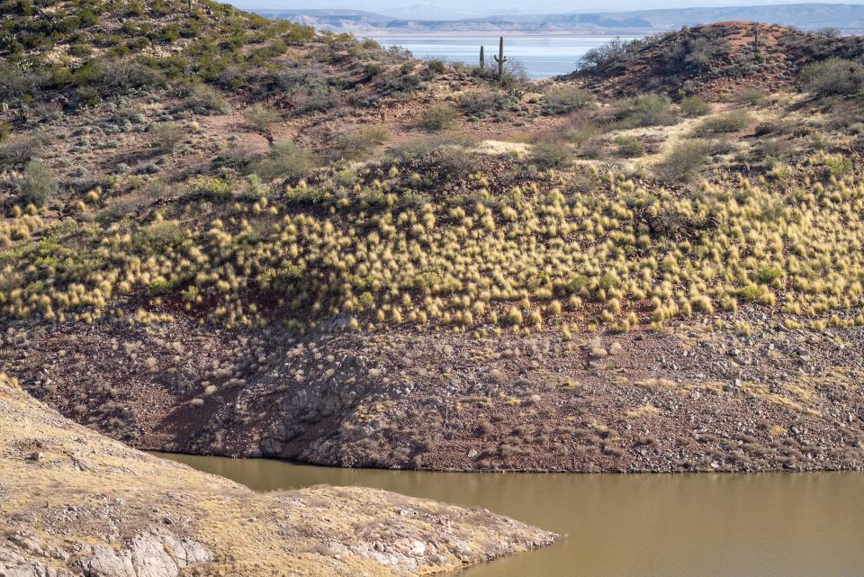
Riparian areas, especially along the lower stretches of the river, are struggling because they lack water. Areas that were once rich in biodiversity are now overrun by salt cedar, an invasive plant that sucks up any excess water that flows downstream or that falls from the sky. The plant was first brought in to channelize the river, but years later it has caused significant damage the ecology of the region.
“It was successful, it just wasn’t good,” Sayles said. “We’re never going to get to back to the way it was. But when we can repair some of that damage, and the longer we can keep native plants alive and growing, the more that reflects the health of the river.”
Livestock grazing has been a hot-button issue between conservation groups and ranchers for many years and is also impairing riparian habitats. Earlier this year, the Center for Biological Diversity and Maricopa Audubon said they intend to sue the U.S. Fish and Wildlife Service and the Bureau of Land Management over grazing near the Gila River in eastern Arizona.
The groups say the cattle causes erosion along stream banks and destroys habitats for endangered birds that live in the riparian areas, like the southwestern willow flycatcher and the yellow-billed cuckoo.
River's health will depend on drought, heat effects
But things are looking good for the river further downstream, at least in the short term. A wetter-than-average winter has kept water in the river longer — and farther along in the riverbed — than in previous years. In Yuma on the southwestern corner of Arizona, the usually dry Gila is flowing for the first time since the early 1990s, due to mountain runoff from winter snowfall.
The U.S. Army Corps of Engineers released water from Painted Rock Dam near Gila Bend in April after the heavy runoff raised water levels behind the dam. As of May, about 1.5 million gallons per minute rushed toward the Colorado River.
Just three months ago, a stretch of river near Oatman Flats Ranch, just south of the Painted Rock Dam, was completely dry. Now water rushes through the property and has washed out roads to the ranch.
But long-term, rising temperatures and drought will play a big role in the future of the river. Runoff efficiency is the correlation between winter precipitation and streamflow, and recent studies suggest warmer spring temperatures earlier in the year could undo the success of wet winters.
A study from the USA National Phenology Center said that Tucson has warmed 6.1 degrees during the spring season since 1970, and Phoenix temperatures rose 5.5 degrees over the same time.
“Temperature is sort of the root of all of this, whatever precipitation falls in the basin, with warmer temps it will be less efficient,” said Connie Woodhouse a researcher for the University of Arizona’s Climate Assessment for the Southwest. “Less of that precipitation that falls into the basin is going to make its way into the river as temperatures warm.”
The most important temperature relationship is between annual streamflow and summer temperatures, Woodhouse said. Her work looked at the climate influences of streamflow on the Upper Gila, the Salt and the Verde rivers.
“When you have warmer temperatures you will have more evaporation, plant activity, and heating of the soil,” she said. “All of these things will indirectly affect streamflow. So it’s not so much the precipitation in the summer, it’s the temperature that is important.”
The health of the river cannot be tied to one element. Rather the well-being of the river could be determined by the success of all the ecosystems that rely on it. Conservationists like Sayles say the longevity of the river will depend on collaboration between individuals who live and rely on the river and governments' willingness to protect it.
“There’s a large population here who just loves the river, the environment, our mountains,” said Sayles. “We're here at the edge of the Gila wilderness and there’s this love for all of this natural environment that can be found here.”
Jake Frederico covers environment issues for The Arizona Republic and azcentral. Send tips or questions to jake.frederico@arizonarepublic.com.
Environmental coverage on azcentral.com and in The Arizona Republic is supported by a grant from the Nina Mason Pulliam Charitable Trust. Follow The Republic environmental reporting team at environment.azcentral.com and @azcenvironment on Facebook, Twitter and Instagram.
You can support environmental journalism in Arizona by subscribing to azcentral today.
This article originally appeared on Arizona Republic: Gila River's future in Arizona is tied to drought, rising temperatures

